Download
1 / 15
150 likes | 247 Vues
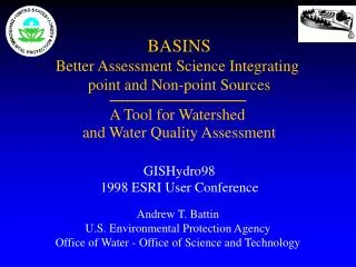
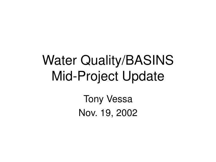
Water Quality/BASINS Mid-Project Update. Tony Vessa Nov. 19, 2002. Project Goals. Better understand GIS tools in water quality assessment Understand City of Austin’s impact on water quality on the Lower Colorado River Full utilization of the EPA BASINS 3.0 software.

E N D
Water Quality/BASINSMid-Project Update Tony Vessa Nov. 19, 2002
Project Goals • Better understand GIS tools in water quality assessment • Understand City of Austin’s impact on water quality on the Lower Colorado River • Full utilization of the EPA BASINS 3.0 software
BASINS Objectives • To facilitate examination of environmental information • To support analysis of environmental systems • To provide a framework for examining management alternatives
BASINS Benefits specific to GIS • Data subdivided into familiar HUCs • Data completely compatible with ArcGIS • Provides shapefiles for basemaps projected in NAD1927 • Provides various downloadable data for environmental analysis
HUC 12090205 Austin ^ _ Austin, TX Hydrologic Unit
HUC/State/EPA/ County Boundaries Urban Boundaries Drinking Water Supplies Weather Stations Data TRI Data CERCLIS(Superfund) River Reach Files Major Roads Ecoregions (level III) NAWQA Study Units Mineral Data Water Quality Observation Stations digital elevation maps RCRIS Sites Data Available
Temp Spec Conductance DO, BOD Alkalinity, Hardness Nutrients (Nit, Pho) Hardness Chloride Metals (Cr, Cu, Pb, Ca, Fe, Ni, Ag, Zn, Al) Chlordane Chlorophyll DDE, DDT Eldrin/Dieldrin Heptachlor Pcbs Mercury Sulfate Water Quality Data
Water Quality Statistics • 4 Year Increments • Station ID • Agency ID • Number of Observations • Mean • 15th, 25th, 50th, 75th, 85th Percentiles • Standard Deviation
Water Quality Criteria • Parameter Name • CAS Number • Fresh Acute/Chronic • Marine Acute/Chronic • Drinking Water • Human Health • Reference Level Source
Wrap Up • BASINS -one stop shopping • Project Direction • Questions????