Download
1 / 18
180 likes | 266 Vues
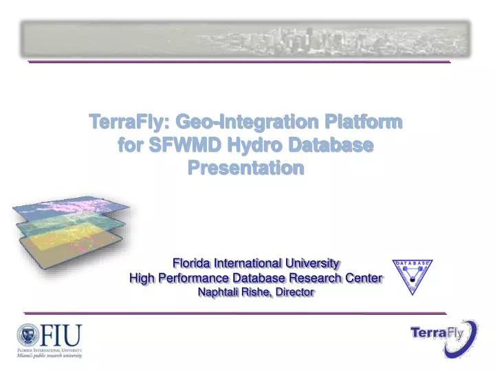
TerraFly: Geo-Integration Platform for SFWMD Hydro Database Presentation. Florida International University High Performance Database Research Center Naphtali Rishe , Director. Integrate. Your System Your Data. TerraFly Integration Solution. TerraFly system.

E N D
TerraFly: Geo-Integration Platform for SFWMD Hydro Database Presentation Florida International University High Performance Database Research Center Naphtali Rishe, Director
Integrate Your System Your Data TerraFly Integration Solution TerraFly system
Architecture Overview TerraFly Geo-spatial solution framework ASP.NET: Web Services & Web Forms Geo-Spatial Rich-Internet Customized Solution for SFWMD Knowledge Domain Microsoft. Net J2EE JSP, PHP,ActionScript,Flash… AJAX Terrafly Map API Geo-Spatial Web Service Imagery Rendering Engine Map layers Rendering Engine Spatial Search Engine Spatial DBMS Large-scale Aerial Photography Database Large-scale Geo-Spatial Database TerraFly – Geo-Integration platform
DBHydro Data Mean Daily Stage values for all Stations in Florida for 1/1/07 to 1/19/09
SFWMD Live Demo Average of Surrounding Stations' Mean Daily Stage for Selected Water Body. Address searchable Selectable Lakes Stage date Time diagram and data Surrounding water body stations
SFWMD Live Demo Stations are selectable Layer Control Start Date, End Date and Interval Time series animation player Mean Daily Stage and Graphic presentation stations surrounding the selected lake Keyword search
Rainfall from NASA TRMM Hovering over the month-to-date accumulated rainfall brings up a graphic representation
Imagery Time Series 1999 2003 2007
Online2D & 3D Flying View http://131.94.129.209/tfnasa/tfnasa.htm
TerraFly Platform • Web-based Geospatial-Data and Imagery Integration System • Open Architecture, API Provider. • Customized to SFWMD Requirements • Enrich users’ experience • NSF and NASA Funded Technology
Cost Effective Solution Why do business with FIU? • We will develop at net incremental cost • $40M of reusable government-funded technology • Know-how and ability to integrate automatic quality control (FIU Water Resource Lab) • Geo-Spatial expertise • Turn-Key Solution
Automation of Data Quality Control for Rating Equations FIU Domain Expertise: Water Resource Lab ADCP Flowrate and Stage Data Training Set Test Set Splitting PLSPCRMLR Regression Analysis External Validation Q2LOO & Q2LMO Rating Equations Internal Validation Q2LOO & Q2LMO Q=f (H, h, L, Go) Predictivity of the Rating Equation Outlined Data to Be Discarded Outliners Detected by Two Standard Residuals as Criteria
TerraFly Geo-Integration Platform • http://www.TerraFly.com • http://131.94.129.209/mockups/lake.aspx • http://maps.cs.fiu.edu/API_DOC/doc/ • http://tv.cs.fiu.edu/terramap_prod/terrafly_homepage/timeseries.htm