Download
1 / 34
340 likes | 562 Vues
Writing Geoprocessing Scripts With ArcGIS. Lecture 9. GIS System. ArcObjects. ArcObjects are the building blocks of ArcGIS. With ArcObjects, you can create your own menus, tools, workflows, applications, and custom feature classes for use with ArcGIS.

E N D
Writing Geoprocessing ScriptsWith ArcGIS Lecture 9
ArcObjects • ArcObjects are the building blocks of ArcGIS. With ArcObjects, you can create your own menus, tools, workflows, applications, and custom feature classes for use with ArcGIS. • ESRI ArcObjects is the development platform for the ArcGIS family of applications, such as ArcMap, ArcCatalog, ArcScene, ArcGIS Engine, and ArcGIS Server. The ArcObjects software components expose the full range of functionality available in ArcInfo, ArcEditor, and ArcView to software developers • Can use VBA, Python, C++, Java to program
COM (Component Object Model) is an interface standard for software componentry introduced by Microsoft in 1993. It is used to enable interprocess communication and dynamic object creation in a large range of programming languages Python 2.5: import sys, string, os, arcgisscripting Python 2.5: gp = arcgisscripting.create()
Variable index Word = • Word[0]=‘H’ • Word[2:4]=‘lp’ • Word[:3]=‘Hel’ • Word[-2:-4]=‘el’ • Word[-3:]=‘lpA’
Create a new geoprocessor Add the toolbox
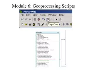
How to run a python script • You can run a script as a standalone operation or you can add a script to a toolbox and then run the script from its dialog box or incorporate it into a model. • Running a script as a standalone operation means that you can accomplish geoprocessing without ever opening an ArcGIS Desktop application. For example, you can run scripts from within a script editor, like Pythonwin, or from the command prompt.
Example: Extract the radar rainfallusing raingauges location. • Objective: compare the radar and rain gauge rainfall measurements • Data source: • Polygon-feature class of radar rainfall (>10k files); • Point-feature of rain gauge locations (50 gauges); • Method: interception • Final format: all values are stored at one *.txt file.