Download
1 / 56
560 likes | 650 Vues
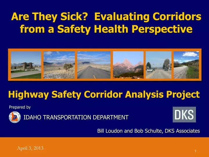
Are They Sick? Evaluating Corridors from a Safety Health Perspective . Highway Safety Corridor Analysis Project . Bill Loudon and Bob Schulte, DKS Associates. Prepared by IDAHO TRANSPORTATION DEPARTMENT. April 3, 2013. Presentation Outline. Study Overview Network Screening Method

E N D
Are They Sick? Evaluating Corridors from a Safety Health Perspective Highway Safety Corridor Analysis Project Bill Loudon and Bob Schulte, DKS Associates Prepared by IDAHO TRANSPORTATION DEPARTMENT April 3, 2013
Presentation Outline Study Overview Network Screening Method Diagnosis of Safety Problems Identification of Countermeasures Evaluation of Potential Countermeasures Summary of Benefits
Study Background • Origins of Study • District 6 Corridor Health Assessment • District 6 Safety Needs Pilot Study • Statewide Application with District Orientation
What is the Highway Safety Manual? •Purpose Provide analytical tools and techniques for quantifying the safety effects of decisions made in planning, design, operations, and maintenance •Objective Reduce the number and severity of crashes within the limits of available resources, science, technology, and legislatively mandated priorities
Highway Safety Corridor Analysis (HSCA) Project Objectives Introduce use of a data-driven analytical process: Identify the highest-priority locations for safety improvements Identify improvement options for reducing crashes and crash severity Evaluate and prioritize improvement options Implement projects to construct the high-priority improvements Evaluate the improvements
Significant Study Outcomes • Application of: • A District-wide and State-wide Safety Analysis Methodology • The Highway Safety Manual • Advanced use of GIS data to support planning and project prioritization • Advanced use of ITD Digital Video Logs • Advanced use of web-based tools – Google Earth • Gap Analysis of the Process
First Stage Screening - Priority Safety Segments Safety Health Score = .35*(% of State VMT for Category with Fatal Crash Rate greater than or equal to the Segment) + .35*(% of State VMT for Category with Injury Crash Rate greater than or equal to the Segment) + .3*(% of State VMT for Category with Total Crash Rate greater than or equal to the Segment)
Safety Priority Rating High– Safety score worse than or equal to 70% of the other segments of the same “Corridors of Importance” category. Medium– Safety score better than 30% of the other segments but worse than 30%. Low – Safety score better than or equal to 70% of the other segments.
ITD Corridors of Significance ClassificationsInvestment Corridor Analysis Planning System (ICAPS)
Sample of Priority Segments Interstate and StatewidePriority
Second Stage Screening –Priority Safety Improvement Locations
Selection Criteria for Safety Improvement Locations Safety health score Minimum of three crashes over five-year period For crash clusters (segments), crash sites should be relatively close and have similar crash causes
Steps in Determining Crash Causality Examine safety records Identify physical features of roadway Identify traffic operating characteristics Consider information from Human Factors Guidelines
Example Safety Improvement LocationUS 95 @ MP 388.1 to MP 388.4 – District 1
Site Characteristics Rural setting 45-mph curve in middle of segment Intersection located at end of 45-mph curve Highway is relatively straight to north and south of segment
Crash Characteristics • Total of 17 crashes • Crashes can classified into three groups: • Crashes on 45-mph curve (12 crashes) • Crashes at intersection (2 crashes) • Crashes on straight sections on either side of curve (3 crashes)
Crash Characteristics (Crashes on 45-mph Curve) Lack of driver awareness of curve and curve characteristics was a contributing factor in over half of the crashes (i.e., inattention, speed too fast, drove left of center, overcorrection) Eight out of 12 crashes occurred in ascending direction In eight out of 12 crashes, vehicle ended up off of roadway (i.e., outside of ROW, in ditch, on embankment, etc.)
Crash Characteristics (Crashes at Intersection) Speed too fast for conditions was contributing factor in both crashes In both crashes, vehicle ended up off of roadway (i.e., in ditch or embankment)
Crash Characteristics (Crashes on Straight Sections) No apparent pattern, other than all of the crashes occurred on icy road surface with speed too fast for conditions
Roadway Environment 45-mph curve is at bottom of relatively steep downgrade (-2.6%) in ascending direction
Roadway Environment 2 ft. shoulder Curve is signed in advance with combination horizontal alignment/advisory speed signs Chevrons and post-mounted delineators are located on curve Intersection warning sign located on curve Narrow shoulder widths – 2 feet
Roadway Environment No left-turn lane at intersection Narrow approach and lane widths on minor road at intersection – 20 feet
Roadway Environment CMF for horizontal curve is 1.48 CMF for narrow shoulder widths is 1.172 Composite CMF for this section is 1.734
Traffic Operating Environment No other locations for several miles to north and south where drivers must slow down – either straight sections or wide radius curves 60 mph speed limit, so many vehicles likely traveling at 65 mph+
Human Factors HFG indicates that driver expectations about a curve are an important factor in drivers’ judgments about the curvature and corresponding speeds Expectations, in turn, are significantly influenced by drivers’ experience with previous curves and tangents HFG also states that advisory/message signs should not be placed on curves – direct information only should be provided via lane markings, raised markers, etc.
Diagnosis In curve crashes, there was inadequate driver awareness of the curve and curve characteristics This was likely influenced by the lack similar curves on both sides of this section (previous driver experience) Misjudgment of speed on curve in ascending direction could also be affected by downgrade prior to curve
Diagnosis Narrow shoulders likely contribute to the high percentage of vehicles ending up to side of the highway This limits the likelihood of recovery and the driver’s ability to bring the vehicle to a safe stop on the shoulder Turning crashes may be related to the higher speeds on US 95 combined with the lack of a turn lane and the narrow minor road approach
Alternative Countermeasures(Higher Cost) Modify horizontal curve – increase radius and length of curve, add spiral transitions Widen lanes through curve Widen shoulders through entire section Add left-turn lane at intersection Widen turn radii and lane widths on minor road at intersection
Alternative Countermeasures(Lower Cost) Install oversize horizontal alignment warning signs Install horizontal alignment warning signs with beacons Place large arrow signs on curve Install snowplowable, permanent raised pavement markers through curve Relocate intersection warning sign away from curve
Alternative Countermeasures(Lower Cost) Place wide edge line markings through curve Install continuous shoulder rumble strips Install changeable speed warning signs
Create a Simple Benefit/Cost Ratio Benefits = Reduced Annual Fatalities * Monetary Value of a Fatality + Reduced Annual Injuries * Monetary Value of an Injury Reduced Annual PDO Crashes * Monetary Value of a PDO Crash Cost = Units of Countermeasure Element * Cost Rate for Element B/C Ratio = Annual Monetary Value of Crash Reduction/ Annualized Cost of Countermeasure
Monetary Impact of Crashes Fatalities $6,053,567 Serious Injuries $301,473 Visible Injuries $84,441 Possible Injuries $55,972 Property Damage Only $6,480
Sample Cost Rate • CMF2r Shoulder Width/Type • Length of roadway to modify • Additional width of shoulder • Shoulder type • Unit Cost Rate - $33,333/mile-feet of shoulder width for paved shoulder • (Based upon $400,000 a lane mile)
Sample Cost Rate • CMF3r Horizontal Curves (Length, Radius, Spiral) • Desired Length • Terrain type • Unit Cost Rate - $/Curve (by type of terrain – flat, rolling, mountainous) • $50,000/flat curve • $100,000/rolling curve • $400,000/mountainous curve