Download
1 / 5
60 likes | 293 Vues
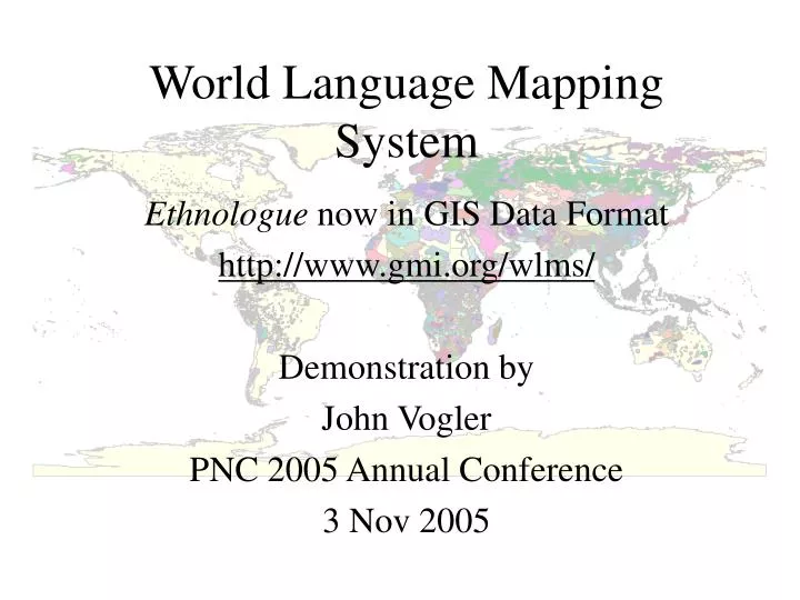
World Language Mapping System. Ethnologue now in GIS Data Format http://www.gmi.org/wlms/ Demonstration by John Vogler PNC 2005 Annual Conference 3 Nov 2005. What is WLMS?. Digital database of georeferenced points, polygons and attributes

E N D
World Language Mapping System Ethnologue now in GIS Data Format http://www.gmi.org/wlms/ Demonstration by John Vogler PNC 2005 Annual Conference 3 Nov 2005
What is WLMS? • Digital database of georeferenced points, polygons and attributes • Representing locations of linguistic homelands and origin points • For over 7,000 language-in-country entries in Ethnologue, 14th ed.
Features of WLMS • Linguistic homeland delineations for nearly all entries • in Ethnologue, 14th Edition • Polygons representing mixed language areas • Add’tl polygons without Ethnologue entries (border spillover) • Point locations for all Ethnologue languages • Joinable attribute table with fields containing Ethnologue data • Sample map documents (.mxd) for ArcGIS 8.2 and later • XML metadata compatible with ArcGIS 8 and 9
WLMS Data Types and Sources • Country Boundaries and Names – GMI & NGA’s VMAP0/DCW • 1:1,000,000 scale • Language Area and Point Features – WLMS / GMI • Language Attribute table – Summer Institute of Linguistics (SIL) • maintain text database published as: • Ethnologue: Languages of the World, 14th Edition, 2000 • http://www.ethnologue.com • http://www.sil.org • Topography Grids – USGS, NOAA GLOBE & GMI • including Elevation, Bathymetry and Hillshades • http://edcdaac.usgs.gov/gtopo30/gtopo30.html • http://www.ngdc.noaa.gov/seg/topo/globe.shtml
Demonstration using ArcGIS 9 Language Areas with sample map • Data Organization & Documentation • Different Language Areas and Points Layers • Ethnologue attributes & joining attribute table • Simple queries & mapping • Sample map documents • Licensing/pricing (this is a commercial data product) • Educational: $250.00 for 1st workstation, $125.00 on; • go to http://www.gmi.org/wlms/