Download
1 / 13
130 likes | 220 Vues
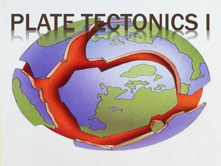
Plate Tectonics I. 1. The Continental Drift Hypothesis . Proposed by Alfred Wegener in 1915. Supercontinent Pangaea started to break up about 200 million years ago. Continents "drifted " to their present positions. Continents "plowed" through the ocean crust.

E N D
1. The Continental Drift Hypothesis • Proposed by Alfred Wegener in 1915. • Supercontinent Pangaea started to break up about 200 million years ago. • Continents "drifted" to their present positions. • Continents "plowed" through the ocean crust.
2. Continental Drift: Evidence a. Geographic fit of South America and Africa
2. Continental Drift: Evidence b. Fossils match across oceans
c. Rock types and structures match across oceans 2. Continental Drift: Evidence
d. Ancient glacial features 2. Continental Drift: Evidence
3. Continental Drift: Reactions • Received well in Europe and Southern hemisphere. • Rejected in U.S., where scientists staunchly preferred induction (incremental progress built on observation) over what they perceived as speculative deduction. • Lack of a suitable mechanism crippled continental drift’s widespread acceptance. • Conflict remained unresolved because seafloors were almost completely unexplored.
4. The Rise of Plate TectonicsWW II and the Cold War: Military Spending • U.S. Navy mapped seafloor with echo sounding (sonar) to find and hide submarines. Generalized maps showed: • oceanic ridges—submerged mountain ranges • fracture zones—cracks perpendicular to ridges • trenches—narrow, deep gashes • abyssal plains—vast flat areas • seamounts—drowned undersea islands
b. Dredged rocks of the seafloor included only basalt, gabbro, and serpentinite—no continental materials.
5. The Rise of Plate Tectonics a. Marine geologists found that seafloor magnetism has a striped pattern completely unlike patterns on land. Mason & Raff, 1961 Black: normal polarity White: reversed polarity Both: very magnetic
The Rise of Plate Tectonics b. Hypothesis: Stripes indicate periodic reversal of the direction of Earth’s magnetic field. c. To test this hypothesis, scientists determined the eruptive ages AND the polarity of young basalts using the newly developed technique of K-Arradiometric dating. The study validated the reversal hypothesis...
5. The Rise of Plate Tectonics d. And then (1962-1963) geologists realized that the patterns are SYMMETRICAL across oceanic ridges. e. The K-Ar dates show the youngest rocks at the ridge. (Center)
6. The Rise of Plate Tectonics: Seismographs • Meanwhile, U.S. military developed new, advanced seismometers to monitor Soviet nuclear tests. • By the late 1950s, seismometers had been deployed in over 40 allied countries and was recording 24 hrs/day, 365 days/year. • Besides the occasional nuclear test, it recorded every moderate to large earthquake on the planet. With these high-precision data, seismologists found that activity happens in narrow bands. • Bands of seismicity—chiefly at trenches and oceanic ridges