Download
1 / 14
140 likes | 309 Vues
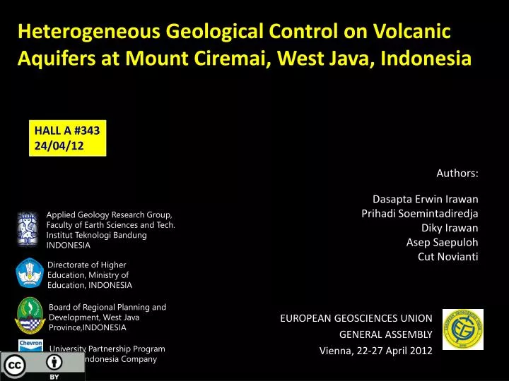
Heterogeneous Geological Control on Volcanic Aquifers at Mount Ciremai , West Java, Indonesia. HALL A #343 24/04/12. Applied Geology Research Group, Faculty of Earth Sciences and Tech. Institut Teknologi Bandung INDONESIA. Authors : Dasapta Erwin Irawan Prihadi Soemintadiredja

E N D
Heterogeneous Geological Control on Volcanic Aquifers at Mount Ciremai, West Java, Indonesia HALL A #343 24/04/12 Applied Geology Research Group, Faculty of Earth Sciences and Tech. InstitutTeknologi Bandung INDONESIA Authors: Dasapta Erwin Irawan PrihadiSoemintadiredja DikyIrawan AsepSaepuloh CutNovianti Directorate of Higher Education, Ministry of Education, INDONESIA Board of Regional Planning and Development, West Java Province,INDONESIA EUROPEAN GEOSCIENCES UNION GENERAL ASSEMBLY Vienna, 22-27 April 2012 University Partnership Program Chevron Indonesia Company
EGU|VIENNA|AUSTRIA|22-27 APRIL 2012 Introduction • Strato volcano, at Kuningan and Majalengka Regency, West Java Province • Spring belt with no less than 160 springs; discharged over 8000 L/sec • The scientific interest is to identify various geological control to the groundwater system
EGU|VIENNA|AUSTRIA|22-27 APRIL 2012 Introduction • Previous research results: • volcanic geology (Situmorang, 1995) • combination of porous and fractured aquifer systems (Puradimajaet.al, 2003) • radial groundwater flow pattern of the volcanic deposits and recharge area located above the 750 masl (Irawanet.al, 2002; 2008) • three hydrogeological systems (Irawanet.al, 2009) and spring EC measurements (Irawan, 2011)
EGU|VIENNA|AUSTRIA|22-27 APRIL 2012 Problems SPRING ZONE UN-Known lithology UN-Known structures UN-Known hydrogeology ??? SPRING ZONE Large uncertainty, Need large number of data, Maximum variation, Continuous time series measurement
EGU|VIENNA|AUSTRIA|22-27 APRIL 2012 Methods • Geological observations: lithology and structures • Measurements at 160 spring locations (140 on east slope and 21 on west slope): T, EC, TDS, pH.
EGU|VIENNA|AUSTRIA|22-27 APRIL 2012 Geological setting (1)
EGU|VIENNA|AUSTRIA|22-27 APRIL 2012 Geological setting (2)
EGU|VIENNA|AUSTRIA|22-27 APRIL 2012 Results (1): Elevation vs Q chart • East slope: • 3 groundwater systems • 2 faults as boundary • Identified lithological contact zone • West slope: • 2 systems • interaction between aquifers towards lower elevation • possible fault boundary. East slope B1 B2 West slope B’ B’’ B’
EGU|VIENNA|AUSTRIA|22-27 APRIL 2012 Results (2): Elevation-water temp. chart • majority of hypothermal signal, on both slopes, indicating relatively deep groundwater flow. • a boundary signals • The interpretation is also confirmed with geophysical results and statistical analyses. • Identified contact zone with sedimentary rocks. East slope B1 B2 West slope B’ B’’ B’
EGU|VIENNA|AUSTRIA|22-27 APRIL 2012 Results (4) TDS-Water temp. chart • east slope: 3 groups • 1. meteoric groundwaters homogeneous plot on east slope. • 2. transition groundwaters • 3. geothermal/sedimentary related groundwaters • Lithological contact zone • west slope: similar zones with less mineralization system East slope B1 B2 West slope B’’ B’
EGU|VIENNA|AUSTRIA|22-27 APRIL 2012 Conclusions (1) • The methodology could be applied on volcanic deposit area with several notes: • need to get maximum number of variation for more accurate interpretation. • Need other sub surface analysis, such as geophysical mapping to get a better understanding on the hydrogeological frame work. • Boundary may comes as faults, the most frequently observed, or other possible boundaries lithological contact and folds. • It can be used to identify un-exposed geological conditions.
EGU|VIENNA|AUSTRIA|22-27 APRIL 2012 Conclusions (2) • Non-linearity occurs when the groundwater reaches the different lithology (sedimentary rocks) and or geothermal system. • Anomalously large springs suggest that the aquifer boundaries are larger than the topographically watersheds. • Possible faults as somehow leaking fault system.
EGU|VIENNA|AUSTRIA|22-27 APRIL 2012 Thank you d.erwin.irawan@gmail.com blog.fitb.itb.ac.id/derwinirawan Visit West Java The volcano province of Indonesia The authors also would like to thank the following institutions: Applied Geology Research Group, Faculty of Earth Sciences and Tech. InstitutTeknologi Bandung INDONESIA Board åof Regional Planning and Development, West Java Province,INDONESIA Directorate of Higher Education, Ministry of Education, INDONESIA University Partnership Program Chevron Indonesia Company
EGU|VIENNA|AUSTRIA|22-27 APRIL 2012 References • Irawan, D.E. and Puradimaja, D.J., 2002, Geological Mapping and Groundwater Characterization an Approach to Spring Recharge Area Conservation, International Conference on Urban Hydrology for the 21st Century, 14-18 October 2002, Kuala Lumpur Puradimaja, D.J., HendriSilaen, Irawan, D.E., 2003, New Hydrogeological Determination of Normal and Hot Spring Complex at Ciwaringin – G. Kromong – Pesawahan, North of Ciremai Volcano, West Java, Indonesia, International Conference on Mineral and Energy Resources Management 2003, 28 – 31 July 2003, Yogyakarta. Irawan, D.E., Puradimaja, D.J., Notosiswoyo, S., Soemintadiredja, P., 2008, Hydrogeological Model of Stratovolcano using Physical and Chemical Parameters of Groundwater at Mt. Ciremai’s Spring Zone, presented at International Symposium on Efficient Groundwater Resources Management Bangkok Thailand. Irawan, D.E., Puradimaja, D.J., Notosiswoyo, S., Soemintadiredja, P., 2009, Hydrogeochemistry of volcanic hydrogeology based on cluster analysis, of Mount Ciremai, West Java, Indonesia, Journal of Hydrology 376 (2009) 221–234, doi:10.1016/j.jhydrol.2009.07.033 Irawan, D.E., Puradimaja, D.J., Notosiswoyo, S., Soemintadiredja, P., 2011, Characterization of Tropical Volcanic Hydrogeology based on Spring Discharge, Temperature and Electrical Conductivity Analysis: Mount Ciremai, West Java Province, Indonesia, EGU General Assembly Sumintadireja, P., Saepuloh, A., Irawan, D., Irawan, D.E., and Fadillah, A., 2012, The Application of Remote Sensing and Magneto-Telluric for Geothermal Exploration at Mount Ciremai, Kuningan Regency, West Java, Indonesia, ITB Journal of Sciences (in press)