Download
1 / 17
170 likes | 284 Vues
Connecticut River Scenic Byway Corridor Management Plan Update. Previous Plan was completed in 1998 Many of the recommendation have been completed. This is an opportunity to revisit the Byway and think about all of the great assets. Background. Recent Transportation Funding Changes.

E N D
Connecticut River Scenic BywayCorridor Management Plan Update
Previous Plan was completed in 1998 Many of the recommendation have been completed. This is an opportunity to revisit the Byway and think about all of the great assets. Background
The National Scenic Byways Program defines the following six intrinsic qualities or resources as the basis for Scenic Byway designation: Archeological Cultural Historic Natural Recreational Scenic Byway Intrinsic Qualities
Scenic Resources Natural Resources Recreation Historic Transportation Community Planning Tourism Economic Development Topics Covered in the Plan
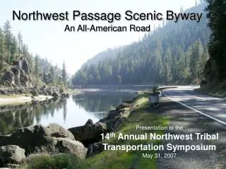
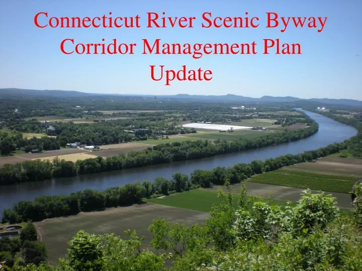
CT River Corridor Management Plan • Extends from Northfield to South Hadley on Route 63 and Route 47. • Passes through the Northfield, Erving, Montague and Sunderland in Franklin County. Hadley and South Hadley in Hampshire County.
CT River Corridor Management Plan • Also includes exploring the possibility of expanding the Byway to include a route on the west side of the Connecticut River.
Components of the Corridor Management Plan • An inventory of the historic, cultural and natural resources. • A landscape assessment and inventory. • An inventory of the heritage and recreational tourism resources. • Assessment of the physical conditions of the road. • A community planning evaluation. • Development of the Scenic Byway Implementation Strategy.
Public Participation Process Public participation is an important component of the project. • The Byway Committee will meet quarterly throughout the development of the plan. • Committee will be comprised of representatives all of the towns along the byway, interested organizations and members of the public. • The regional committees will meet separately a few joint meetings (beginning, mid-point and final meeting).
Approximately 18 months to complete. Report completed by March 31st, 2016. Byway Committee Meetings quarterly. Project Timeline
Contact Information Elizabeth Giannini Senior Transportation Planner Franklin Regional Council of Governments 413-774-1194 x 104 giannini@frcog.org Gi
Contact Information Chris Curtis Senior Environmental Planner Pioneer Valley Planning Commission 413- 781-6045 ccurtis@pvpc.org pgambar@pvpc.org Patty Gambarini Senior Environmental Planner Pioneer Valley Planning Commission 413- 781-6045 pgambarini@pvpc.org