Download
1 / 39
390 likes | 531 Vues
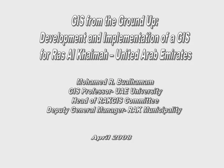
GIS from the Ground Up: Development and Implementation of a GIS for Ras Al Khaimah – United Arab Emirates. Mohamed R. Bualhamam GIS Professor- UAE University Head of RAKGIS Committee Deputy General Manager- RAK Municipality. April 2008. Table of Content. The RAKGIS background Objective

E N D
GIS from the Ground Up: Development and Implementation of a GIS for Ras Al Khaimah – United Arab Emirates Mohamed R. Bualhamam GIS Professor- UAE University Head of RAKGIS Committee Deputy General Manager- RAK Municipality April 2008
Table of Content • The RAKGIS background • Objective • The RAKGISproject (may 07- August 08) • Enterprise GIS benefits realized • AutoCAD to GIS • Data migration
THE RAKGIS BACKGROUND • ENABLING BETTER GOVERNANCE AND CONTINUOUS IMPROVEMENT OF LIFE-STYLE FOR ITS CITIZEN’S • RAK REALISES THAT GEOGRAPHIC OR GEO-SPATIAL INFORMATION OCCUPIES PRE-EMINENT POSITION IN MODERN-DAY GOVERNANCE: • CRITICAL FOR ECONOMIC AND PUBLIC ACTIVITY • CITIZEN SERVICES • PROPERTY MANAGEMENT, LAND MANAGEMENT, EMERGENCY MANAGEMENT, ENVIRONMENTAL ASSESSMENT, TOWN PLANNING, INFRASTRUCTURE (AIRPORT AND SEA-PORT, ROADS, TELECOM, CIVIC INFRASTRUCTURE ETC) DEVELOPMENT, ENGINEERING AND PUBLIC WORKS, BUSINESS GEOGRAPHICS AND MANY OTHER AREAS • CONSTANT AND INCREASED “DEMAND” FOR (SPATIAL AND NON-SPATIAL) INFORMATION FROM DIFFERENT STAKE-HOLDERS IN RAK
Objective To design and development of a seamless and updated enterprise GIS for Ras Al Khaimah; 1. Establishment of spatial framework—GPS Control points. 2.Migration of existing spatial data into RAK Enterprise GIS framework. 3.Development of web enabled metadata search utility 4. Development of 3D City model for RAK area. 5. Development of GIS applications.
The RAK GIS Project (May 07- Jul 08) • Establishment of GIS spatial frame work (Primary, Secondary and Tertiary Control points through systematic GPS Surveys). • Inventory of available digital data and 2002 maps with RAK • Development of 9 GIS applications • Procurement of already contracted 7 GIS applications and link them with the new applications to enable users have full access to the web enabled GIS. • Training on operational aspects on Enterprise GIS and its applications to RAK officials
What enterprise Provided to RAK Enterprise GIS Benefits Realized • Significantly reduced data redundancy • Improved accuracy and integrity of geographic information • Efficient and timely data sharing • High level of interoperability between GIS and non-GIS applications • More effective use of departmental GIS skills and resources • Reduced overall GIS maintenance and support costs.
AUTOCAD TO GIS (AUTOCAD STANDARDISATION TROUBLE-SHOOT)
Steps Towards Migration to GIS • Autocad Layers Standardisation Document • Layerization of all features as per standards • Identifying Errors in Autocad Layers • Cleaning the drawing • Migration to GIS
STANDARDIZATION . . . REVISED RAK AUTOCAD LAYERS SCHEMA STANDARDIZATION …
STANDARDIZATION . . . REVISED RAK AUTOCAD LAYERS SCHEMA STANDARDIZATION …
STANDARDIZATION . . . REVISED RAK AUTOCAD LAYERS SCHEMA STANDARDIZATION …
STANDARDIZATION . . . REVISED RAK AUTOCAD LAYERS SCHEMA STANDARDIZATION …
STANDARDIZATION . . . REVISED RAK AUTOCAD LAYERS SCHEMA STANDARDIZATION …
LAYERIZATION • Categorizing features into corresponding layers • Removing Duplicate features No data loss ~ 70 ~ 400 (After AutoCAD Standard) (Before AutoCAD Standard) • Non systematic Layerization • Duplicate layers, • Individualized approach
ERRORS IDENTIFICATION Snapping Undershoot Over shoot Parcel No Duplicate Parcel No Mismatch Parcel doesn’t have number Number doesn’t have parcel Parcel has more than one number Sliver Polygons
Snapping Errors Undershoot Overshoot
Duplicate Parcel Numbers for sector 4 Total Duplicates = 41 nos.
Parcel Number : 205044004 205044004 205044004
Overlapping because of Non-Systematic Layers GIS AutoCAD
Transformer polygons Transformer polygons to be removed from the parcels
Parcel Extension ? Parcel Extensions merged with parcel current layer
Extension - Not followed existing standards for extension This yellow colour dotted line symbol is not available in the Extension layer.
Improper Position of Parcel Number AutoCAD GIS ? Origin of parcel should be within the parcel
Drawing Clean UP to be done before converting into GIS Topology Creation Converting into ESRI GeoDatabase
Final Geodatabase of Sector 2 Total Parcels :23639
DATA MIGRATION • To transform the existing base maps as AutoCAD drawings to the national spatial framework. • To transform the existing planning maps available in Clarke datum to WGS 84 UTM projection. • To transform the existing orthoimages to the GPS reference framework, if not fitting well. • Correct the transformed planning maps to superimpose exactly on the transformed orthoimage. • Delivering all the maps in one common RAK spatial framework. • Create metadata for every map and image DATA QUALITY ISSUES EXTERNAL ORACLE TABLES FIELD COMPATIBILITY ISSUES SYMBOLOGY ISSUES ANNOTATION ISSUES APPLICATION ISSUES FINAL DATABASE SCHEMA
THANK YOU!!! DISCUSSIONS.....