Download
1 / 53
530 likes | 713 Vues
Land. What’s on it? How can we use the resources?. Land use, million acres. ?????. ???. Public lands controversies. More common in the west that’s where the public land is!. What should be done with/on public lands?. Nothing: enjoy the wilderness Preserve specific species

E N D
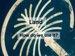
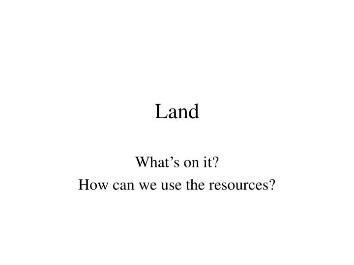
Land What’s on it? How can we use the resources?
Public lands controversies • More common in the west • that’s where the public land is!
What should be done with/on public lands? • Nothing: enjoy the wilderness • Preserve specific species • Preserve biodiversity generally • Extract resources: timber, minerals, fossil fuels, wildlife (hunting), forage (grazing) • Recreation • Manage for ecosystem services: flood control, carbon storage, etc.
Natural resources • Timber • Minerals – key to modern technological society • Where come from? • Mining • Recycling What is a key difference between timber and minerals?
Natural resources • Soils • Wildlife • Rangeland • Water • Fossil fuels
FORESTS • Can they be managed sustainably? • What does this mean? • Harvesting a renewable resource in such a way that harvesting can continue indefinitely. Think of this as having a bank account and only using (harvesting) the interest or growth each year.
Maximum sustained yield • A tool for managing timber and other resources • Achieve maximum resource extraction without depleting resource from one harvest to another MSY
Managers trying for MSY prefer to keep the population at intermediate sizes, because that is where growth rate is fastest.
Problems with MSY • Natural populations rarely follow logistic curve. • Requires harvesting at about half the carrying capacity, BUT how know what the carrying capacity is? Is carrying capacity a fixed size? • May yield the best harvest, but may reduce the resource below a level that is good for the ecosystem • With trees, cutting them when they are growing fast = young trees. What about species that like mature trees for habitat? • Is the environment constant?
What kind of forests are there? • Virgin timber: never been logged • Old growth: another name for virgin forest, but less precise. Generally: big, old trees • Near limit of life-span and size • Second-growth: a forest that has been cut and regrown
How are wild stands logged? • Clear cutting British Columbia Everything cut. Replanted area ends up even-aged.
Shelterwood Stand cleared of most trees, leaving a few young, healthy trees. For pines to the right, the understory is burned, killing competition and prepping soil for seeds. No seedlings need be purchased or planted. Similar to seed-tree cutting. How are wild stands logged
Selective cutting A few high-value trees are taken at one time, with most trees left standing. In British Columbia and elsewhere, logging impact reduced by using helicopters. How are wild stands logged?
Logging along roads, Amazon • False color • Red – old growth • Orange - second growth • Blue/white - deforested
What covers the earth? • Forests: about 30% of Earth’s land surface • 56% tropical or subtropical • 44% temperate or boreal
What covers the earth? • Agriculture: about 38% of Earth’s land surface • 26% pasture for domestic animals • 12% crops or arable land
Is grazing sustainable? • Overgrazing • Leads to erosion
Wetland draining • Bad government policy (early 20th c.) • View at the time: draining wetlands to make farmland worthless swamp to valuable ecosystem • Today: Conservation Reserve Program pays farmers to take erodable land out of production
Farm subsidies • EWG || Farm Subsidy Database • This data base lists payments to farmers for a variety of reasons: • To conserve their land • To NOT grow a crop
Federal lands • National Parks • National Forests • Wilderness Areas • National Wildlife Refuge
Parks and reserves • National Parks – public lands protected from resource extraction - 79 million acres • National Wildlife Refuges – managed for various uses from preservation of biodiversity to hunting – 91 million acres • Wilderness areas – off limits to development, open to recreation
National Parks • Strict preservation • Pristine areas • Protect both natural and historic features • Allow light recreation—e.g. hiking, camping • No hunting, no pets on trails, • Managed by National Park Service, Department of Interior
National Forests • Emphasize multiple use • Resource preservation, but also: • Lumber • Cattle grazing • Minerals • Motorized recreation • Hunting • Dogs allowed on trails • Managed by US Forest Service, Department of Agriculture
Wilderness areas • Can be part of a National Park or Forest • Must remain free of roads and structures • Motorized transport not allowed, including all-terrain vehicles or motorboats. • Hunting IS allowed, unless the wilderness area is in a National Park
National Wildlife Refuges • First in US: 1903. • TR designated Pelican Island in Florida • Habitat for species • Including migratory • Hunting and fishing usually allowed • Managed by the Fish and Wildlife Service, department of the Interior
Opponents of land restrictions • Wise-use movement
Design of parks for wildlife • How best preservee endangered or threatened species? • Key debate: SLOSS • Single Large Or Several Small
Fragmentation of habitat • Fragmented habitat is a HUGE factor in the decline of biodiversity • Even when total amount of habitat doesn’t change much, many species require big areas.
Corridors • Roadless areas in Montana in green, National Parks in purple • Yellowstone lower right • Corridors help connect small ``islands’’ of habitat, making one larger effective habitat.
Why corridors? • Allow animals, plants to disperse • Enable gene flow • A population of 20 individuals may suffer inbreeding depression. If five populations of 20 individuals are connected, dispersal may allow it to function like one population of 100. • Protection against natural disasters that may wipe out one population
Urbanization: what is it? • Shift of human population to cities • 1930: ~30% world pop in cities • 2007: ~50% • Conversion of green space (forests, farms, wetlands) to black space (highways, parking lots, asphalt
Effects of urbanization(conversion of green space to asphalt, concrete) • Heat island • Increased amount of impervious surface, leading to • A) flow of pollutants to streams • B) rapid rise in stream levels
Heat island NYC temp. map Can you locate 3 places with the MOST vegetation on this map?
VEGETATION* Central Park *Central Staten Island* Central to NE Queens
Sprawl • The spread of low-density urban or suburban development outward from an urban center
Warren County, NJ: this shows pattern of sprawl development fragmenting farmland typical of rural NJ last 50 years