Download
1 / 21
210 likes | 348 Vues
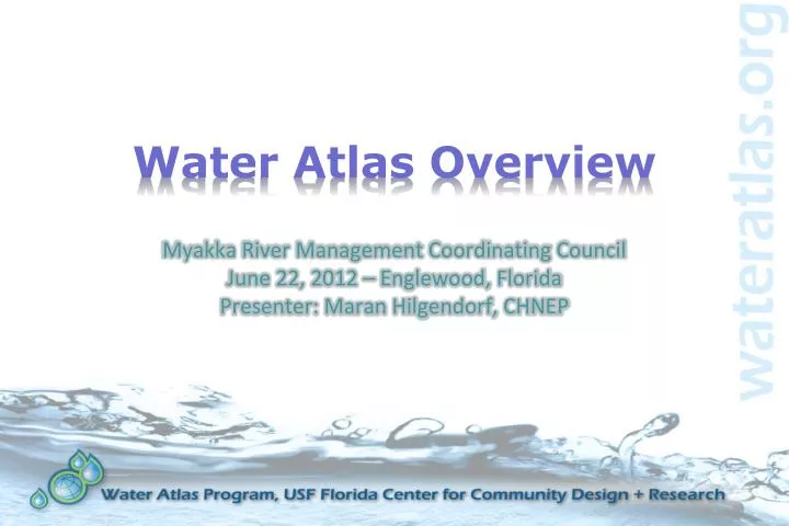
Water Atlas Overview. Myakka River Management Coordinating Council June 22, 2012 – Englewood, Florida Presenter: Maran Hilgendorf, CHNEP. What is the Water Atlas?. A data warehouse A set of interactive maps A collection of tools for viewing/analyzing data

E N D
Water Atlas Overview Myakka River Management Coordinating Council June 22, 2012 – Englewood, FloridaPresenter: Maran Hilgendorf, CHNEP
What is the Water Atlas? • A data warehouse • A set of interactive maps • A collection of tools for viewing/analyzing data • An information resource that helps citizens to understand water issues • An online venue for recruiting/organizing volunteers
Mission • “…to provide a comprehensive information resource that helps citizens, scientists and resource managers make informed decisions concerning our vital water resources.” • Our diverse group of users includes water managers, researchers, educators, citizen-scientist volunteers, and the general public
Water Atlas History • Began as a Hillsborough Atlas of Lakes in 1997 • Has expanded to include… • 8 County Atlases • 2 Regional Atlases • 1 Statewide Atlas
“One Atlas” • All Water Atlas sites have the same “One Atlas” structure and the same basic tools and features • Individual sites may have optional water resource types (ocean, bays, springs), volunteer page groups, special-interest pages • All sites use a common dataset and code base, with site-specific customization • All sites are reachable from all other sites, and from the gateway site WaterAtlas.org
Site Customization • Hillsborough • Bays, Ponds, Ocean • Volunteer Pages (Adopt-A-Pond, Lake Management, Stream Water Watch) • Hillsborough River Watershed Alliance • Frog Listening Network • Curriculum for Teachers • Seminole • Volunteer Pages (Macroinvertebrate Monitoring, Lake Management) • Watershed Excursion • Curriculum for Teachers • Lake • Springs • Charlotte Harbor • Bays, Ocean • Volunteer Pages (CanalWatch, CHEVWQM) • Aquatic Preserves Page • CCMP Management • Pinellas • Bays, Ponds, Ocean • Watershed Excursion • Curriculum for Teachers • Sarasota • Bays, Ocean • Volunteer Pages (NEST, SEA Team) • Bay Conditions • “Sarasota Captured” Photo Gallery • Oral Histories • Coastal Watershed Wiki • Tampa Bay • Bays, Ocean • Restoration Sites
Atlas Organization • Data is displayed by geography and by topic • Each watershed and each water resource (lake, stream, bay, ocean, spring) has a page group with data about a group of related topics • Water resources are grouped within watersheds • Related data types are grouped on single pages
Geography • Data is organized within watersheds • Within each watershed are water resources(lakes, rivers, ponds, bays, springs, oceans)
Topics • Each watershed/water body has a data-driven page group that gives information specific to its type: • Watersheds – Overview/current conditions, water quality/quantity, habitats/ecology, geography/land use, recreation, photos • Lakes/Ponds, Rivers/Streams – Overview/current conditions, water quality, water levels & flows, habitats/ecology, recreation, photos • Bays, Gulf/Ocean - Overview/current conditions, water quality, habitats/ecology, fish & wildlife, recreation, photos
Data Collection • SOPs established for each data provider • Most data is retrieved automatically, some manually • Total of 327+ data providers, 7,729 water resources, 37,707 sample locations, 250-million+ data samples (as of 6/10/12) • Optional, adjunct services include specialized data processing/mapping and water resource field assessments
Example Information • Historic & current photos • Land Use Maps • Management plans • Near real-time data • Research Reports • Vegetation Data • Volunteer Group Project Info • Water levels, flows & rainfall • Water quality data • Aerial photographs • Boat ramps & parks • Bottom contour maps • Conservation advice • Water news & events • Dynamic maps • Ecological reports • Educational curricula/links • Fishing reports
Volunteer Pages • Customized for activity: • Adopt-A-Pond (Hillsborough) • Lake Management (Hillsborough, Seminole) • Water Quality Monitoring (Charlotte Harbor Canal Watch & Water Quality Monitoring Network, Hillsborough Stream Water Watch) • Restoration Activities (Sarasota NEST) • Seagrass Surveying (Sarasota)
Interactive Tools • All Water Atlas sites have a core set of tools for analyzing and displaying data: • Advanced Mapper • Real-time Data Mapper • Data Download • Water Quality Contour Mapping (coastal atlases only) • Digital Library
Advanced Mapper • Tool for viewing Geographic Information Systems (GIS) data • Interactive map for viewing data stored in atlas databases • GIS layers can be turned on and off • Zoom, pan, search tools allow user to select map extent • Icons, water resources link to water atlas pages, databases for accessing detailed info • Users can download GIS datasets • Users can print the custom maps that they create in several sizes
Real-time Data Mapper Tool for viewing real-time & ambient sample sites/data • Google map-based – can choose map or satellite view, zoom/pan • User can filter stations by atlas, data source, status (active/inactive/ decommissioned), data currency, water body, data monitored • Filtering to a single water body reveals ambient data collection sites • Clicking on site icon opens popup with metadata • Clicking on link in popup allows user to view graphs of most recent data or to download data
Data Download • Allows user to download & graph water quality, hydrology, and meteorological data from one or more sample sites • User selects candidate sites by filtering on location, site info, sample info • User may choose one or more stations to view • User may download tabular date in row or column format, or view the data as graphs
WQ Contour Mapping • Allows spatial visualization of water quality parameter values • Available on coastal atlases for bays • Set of pre-selected WQ parameters may be mapped • Three options: • View stored PDFs created monthly for a single parameter • Compare different parameters and/or months onscreen • Create a custom map by choosing time period, WQ data samples; job is queued, PDF is emailed to user
Digital Library • Electronic repository for documents, videos, websites, contact info: • Search by keyword, water resource, map, type, author, publisher • Documents include management plans, water resource assessments, research reports, fact sheets, brochures… • Recently added spatial component to display map with icons for documents linked to particular water resource
An Evolving Project… • New features and tools are constantly under development • As GIS and database technologies improve, so does the Water Atlas • Our sponsors and users constantly find new uses for the Water Atlas • Future enhancements will include more mobile apps • What would you like to use the Water Atlas for? Tell us!
Contact the Water Atlas • If you have questions, comments, suggestions…Please contact: • Jan Allyn, Web Content Manager • janallyn@usf.edu • (813) 579-3381 • Follow us on: • @wateratlas, facebook.com/wateratlas • Cool, clear, spatially-mapped data served fresh daily... Drink up!