Download
1 / 32
350 likes | 1.13k Vues
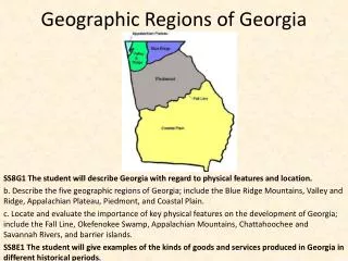
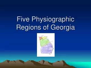
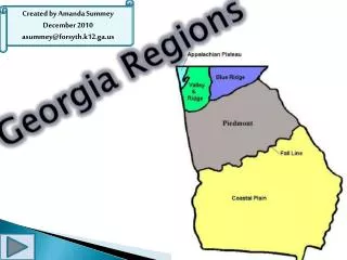
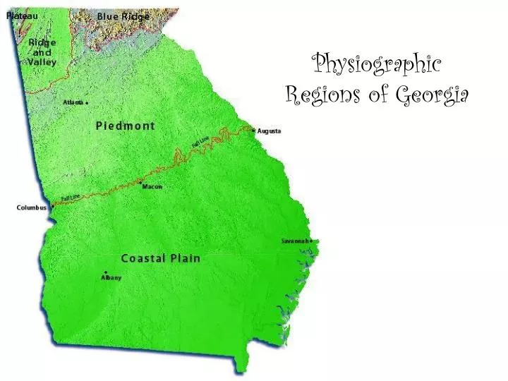
Physiographic Regions of Georgia. 5 Physiographic Regions of Georgia: Plateau Ridge and Valley Blue Ridge Piedmont Coastal Each is described in terms of location, soil, history, farming/mining, and vegetation. Physiographic Regions of Georgia. Blue Ridge Mountains 1: northeast corner of GA

E N D
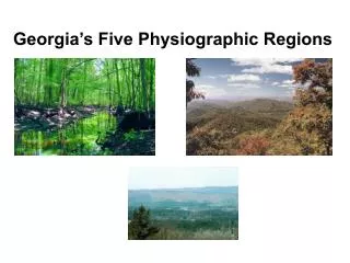
5 Physiographic Regions of Georgia:PlateauRidge and ValleyBlue RidgePiedmontCoastalEach is described in terms of location, soil, history, farming/mining, and vegetation
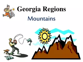
Blue Ridge Mountains 1: northeast corner of GA 2: location of the tallest point in GA, Brasstown Bald 3: This area provides rain for the entire state when warm air from Gulf of Mexico is cooled by the mtns 4: location of Tallulah Gorge 5: Mostly hardwood and pine trees 6. Land is mostly used to grow apples and vegetable farming 7. Its soil is easily eroded, made of sandy loam and clay
Sky Valley in winter, ready for skiers! Brasstown Bald, the highest point in the state.
Party Talk!!Did ya know…the red, yellows, and oranges of fall leaves are actually in the leaves all year long? We just can’t see them in the spring and summer through the green chlorophyll.
Ridge and Valley Region 1: located between the Plateau and Blue Ridge regions 2: has low, open valleys and narrow ridges that run parallel to the valleys 3: fertile farmland, pastures, and apple orchards, soybean crops 4: known for textile and carpet industries, and Dalton as the “Carpet Capital of the World” 5. Its soil is limestone, clay, and sandstone 6. Where this region ends and the Blue Ridge begins is the start of the Appalachian Trail at Springer Mtn.
Plateau Region 1: smallest of the regions 2: far northwest corner of GA 3: includes the two flat-topped mtns of Lookout Mtn and Sand Mtn, also includes Cloudland Canyon 4: Known as the TAG corner (TN, AL, and GA) 5: only known location of coal in the state 6: hardwood and pine trees 7. Its soil is limestone, shale, and sandstone 8. Land is used for timber for furniture
Lovers’ Leap??Many versions of the story exist, particularly in areas with this kind of landscape. The legend tells of two lovers who are forbidden to be together by their families…sometimes it is a financial decision, other times it is because the two lovers are from opposite backgrounds. In every legend, though, the two star-crossed lovers go to the edge of the plateau and jump to their deaths…choosing to die together than live apart.
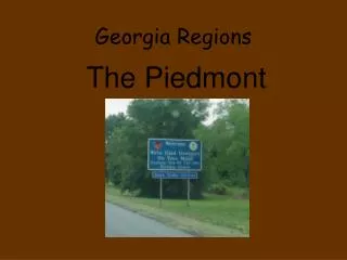
Piedmont Region 1: piedmont means “foot of the mountains” 2: gently sloping hills and valleys in the north, flatlands in the south 3. Located in the middle of the state and takes up 1/3 of the state 4: known for its red clay soil and granite 5: holds half of the state’s population 6: produces wheat, soybeans, corn, poultry, and cattle 7. Includes Stone Mountain and Lake Lanier 8. Vegetation is mostly pines and hardwoods 9. Land is used for agriculture and businesses 10. 50% of state’s population lives here
Party Talk…Did ya know… John W. Beauchamp was the first person to claim ownership of Stone Mountain when he traded with Indians for possession. Later, he traded the mountain to Andrew Johnson and Aaron Cloud for a muzzle-loading gun and twenty dollars. Because half of Georgia and part of North Carolina rest on the mountain's base, it is widely believed that Stone Mountain may be formed like some icebergs--larger underneath the ground's surface than it is above ground
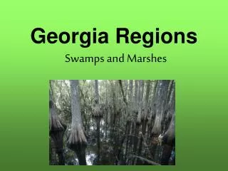
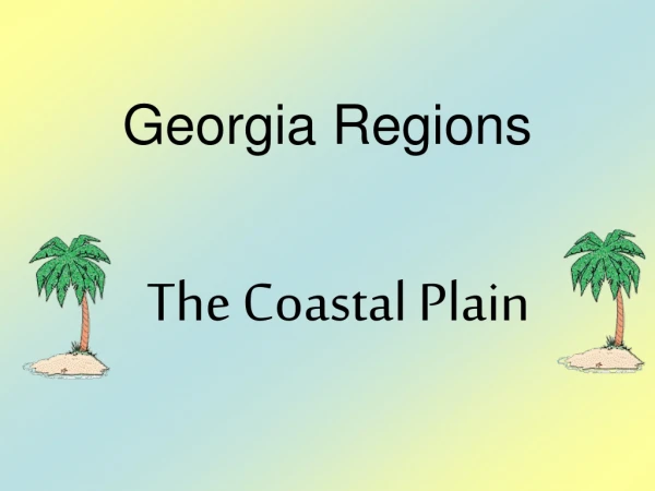
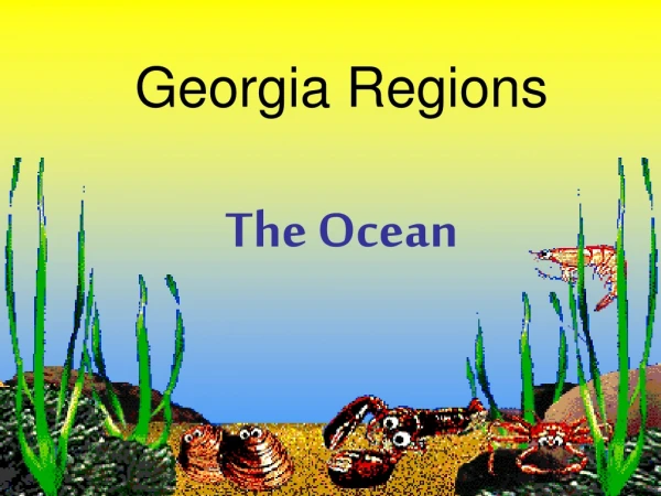
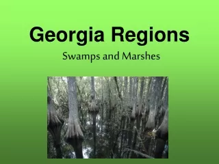
Coastal Plains Region 1: largest region, covers three-fifths of the state, located in the southern part of the state 2: divided into 2 areas…inner coastal and outer coastal 3: inner coastal: a) rich soil, some clay b) location of Providence Canyon and Flint River c) major agricultural area…peanuts, corn, and Vidalia Onions d) mostly pine trees 4: outer coastal: a) poorly drained, sandy soil: much is marshy and swampy b) deep harbors, Barrier islands, and Okefenokee Swamp c) known for naval stores (material for ship building or roofing) and pulp production as well as seafood
Wetlands in South Georgia • Marshlands near the coast of Georgia • Sea Oats and Beaches of St Simon’s • Savannah Port
Party Talk!!In the Okefenokee National Wildlife Refuge, there are 39 kinds of fish, 37 types of amphibians, 64 sorts of reptiles, along with 235 varieties of birds and a collection of 50 different mammals.
Barrier Islands: Located off the coast of GA between the Intercoastal Waterway and the Atlantic Ocean * protect the beaches by blocking winds, sand and water that could erode mainland * called “Islands of Gold” by Spanish explorers * most are wilderness sanctuaries *excellent source of seafood and popular vacation spot
Fall Line • Separates the Piedmont and Coastal regions • The inner most boundary of the prehistoric ocean • Runs from Columbus to Macon to Augusta • Elevation drops sharply between the two regions, causing water to flow more quickly • Fast flowing water was a good power source, made the area excellent for industry during early settling of the state
GA’s Climate Climate: the average weather in a region over a period of about 20 years GA: mild climate with hot, humid summers and mild winters provides a long growing season which makes GA great for agriculture avg. temp in GA for the year is 65 degrees our weather is influenced by the Gulf of Mexico in the warmer months and Canada in the colder months Our most dangerous weather are tornadoes, but we occasionally suffer from the effects of hurricanes Because of GA’s mild weather, it easily attracts businesses to move here as well as tourists
GA’s Natural Resources Natural resources: found in our state naturally, not man-made Best known resource: marble, found in Gilmer, Hall, and Pickens counties Tate, GA has a school and hotel made of marble Granite: Found in Dekalb and Elbert counties, used for building and concrete Fuller’s earth: very profitable for GA…used for kitty litter, in soaps, and in absorbents for oil or grease Kaolin: coating for paper, filler for paint, plastics and rubber, and cement. Mined in areas along the Fall line Other natural resources that GA has are the wildlife and plant life in the state. All of GA’s natural resources provide money to the economy as businesses are developed to handle the resources and the resources are sold to other businesses
Can you tell me… • Which region is the smallest? • Which region we live in? • Which region is largest? • Which region is where the highest point in GA is located? • Which region is known for apples? • Which region is the only known source of coal in GA? • Which region has areas of flat land surrounded by mountains? • Which region has the barrier islands in it?