Download
1 / 27
310 likes | 541 Vues
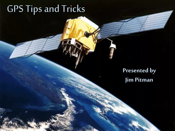
GPS Tips and Tricks. Presented by Jim Pitman. Schedule. 9:15 GPS Basics 9:50 Andrew Eagleton – Phoenix PD 10:00 Short Break – Sign Wings Cards 10:10 Interactive Demos 10:40 Using GPS in the Real World 11:00 Closing Remarks - UBS.

E N D
GPS Tips and Tricks Presented byJim Pitman
Schedule • 9:15 GPS Basics • 9:50 Andrew Eagleton – Phoenix PD • 10:00 Short Break – Sign Wings Cards • 10:10 Interactive Demos • 10:40 Using GPS in the Real World • 11:00 Closing Remarks - UBS
Develop a good understanding of how to use your particular GPS unit Before learning the specific functions, there are several basic GPS concepts that are important to understand After learning the basics, you can focus on the details that will be important to the type of flying you are doing Overview
How It Works • GPS is one type of area navigation (RNAV) • GPS uses time/speed calculations to determine distance from several satellites • Because the GPS unit knows precisely where it is and where it was, it is able to calculate where it is going to be
Accuracy SA = Selective Availability
The Fancy Stuff • The internal database allows the GPS unit to perform basic calculations that provide a wealth of information and features, including: • Ground speed • Current and desired ground tracks • Time, speed, and distance to any waypoint • ETE, ETA • Nearest airport, NAV aid, intersection, SUA, ARTCC, FSS • Ability to create and store flight plans • And much more!
Limitations • Not available everywhere • Not available all the time • Check GPS NOTAMS
Autosequencing • TO-FROM navigation • TO-TO navigation • When you want autosequencing • When you don’t want autosequencing
CDI sensitivity Enroute = 5 NM Terminal = 1 NM Approach = 0.3 NM
There are generally two types of RAIM messages: Not enough satellites available to provide RAIM A potential error that exceeds the limit for the current phase of flight Perform RAIM predictions Receiver Autonomous Integrity Monitoring (RAIM)
Baro-Aiding • Requires pilot to set the current altimeter setting in the GPS unit • Allows RAIM without as many satellites in view
VFR GPS vs. IFR GPS • Handheld units • Panel mounted units • IFR approaches are simply pre-loaded flight plans that are based on approved instrument approach procedures • Requirements for IFR use
Flight Planning Navigating airspace Situational Awareness CFIT Inflight Considerations
Find a good mentor who knows your GPS unit Practice on the ground Use simulator software Ground power unit at aircraft When flying, don’t fixate on the GPS unit Take an extra safety pilot to scan for traffic Practice, practice, practice GPS Risk Management
Know the basics Learn the unit you fly with Practice makes perfect Exercise good risk management GPS resources are available online at: www.aftw.org/gps.html Conclusion
Questions ? ? ?