Download
1 / 18
180 likes | 273 Vues
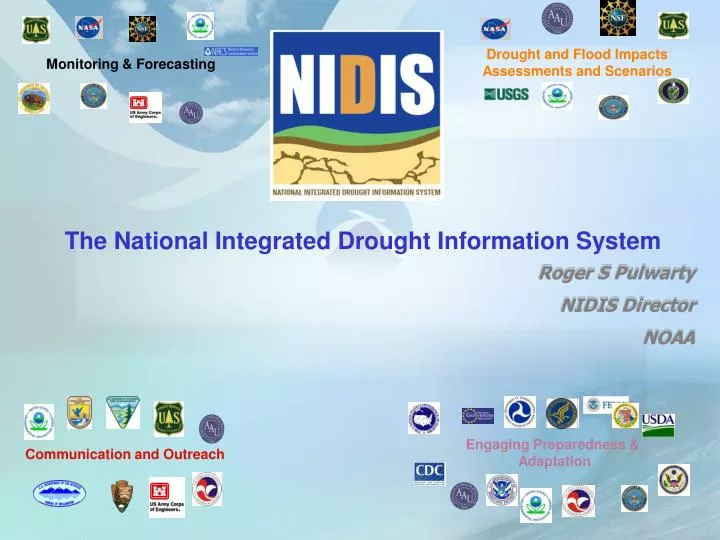
Roger S Pulwarty NIDIS Director NOAA. Monitoring & Forecasting. Drought and Flood Impacts Assessments and Scenarios. The National Integrated Drought Information System. Engaging Preparedness & Adaptation. Communication and Outreach.

E N D
Roger S Pulwarty NIDIS Director NOAA Monitoring & Forecasting Drought and Flood ImpactsAssessments and Scenarios The National Integrated Drought Information System Engaging Preparedness & Adaptation Communication and Outreach
National Integrated Drought Information System Goals & Objectives Goal:Enable the Nation to move from a reactive to a more proactive approach to managing drought risks and impacts (PL109-430) • The NIDIS Act Public Law (109-430, December 2006) “better informed and more timely drought-related decisions leading to reduced impacts and costs” 2
Three explicit tasks within the NIDIS Act (1) provide an effective drought early warning system that— (A) is a comprehensive system that collects and integrates information on the key indicators of drought in order to make usable, reliable, and timely drought forecasts and assessments of drought, including assessments of the severity of drought conditions and impacts; (B) communicates drought forecasts, drought conditions, and drought impacts on an ongoing basis to— (i) decision-makers at the Federal, regional, State, tribal, and local levels of government; (ii) the private sector; and (iii) the public
(C) includes timely (where possible real-time) data, information, and products that reflect local, regional, and State differences in drought conditions; (2) coordinate, and integrate as practicable, Federal research in support of a drought early warning system; and (3) build upon existing forecasting and assessment programs and partnerships
National Integrated Drought Information System -NOAA Partners, Western Governors, GEO relationships Natural variability together with near- and longer-term projections for a warmer climate make critical early warning information to support adaptation (www.drought.gov)
Five NIDIS Components 1. NIDIS Program Office 2. U.S. Drought Portal 3. Climate/Drought Test Beds • Integrating data and forecasts 4. Coping with Drought • Integrated Applications Research 5. NIDIS Early Warning Information Systems • Design, Prototype, Implementation, Process sustainability
Drought and Water Resources Federal Partnerships Drought and Flood ImpactsAssessments and Scenarios Monitoring & Forecasting Information Services in support of Adaptation Engaging Preparedness & Adaptation Communication and Outreach
The NIDIS U.S. Drought Portal (www.drought.gov) 2. 3. 1. Key Clearinghouse Functions: Credible, Accessible, Timely Information Where are drought conditions now? Does this event look like other events? How is the drought affecting me? Will the drought continue? Where can I go for help? Portlet example: NWS River Forecast Center Ohio River Water Resources Outlook- Ecosystem recovery
NIDIS KNOWLEDGE MANAGEMENT MODEL Coordinating federal, state, and local drought-related activities (e.g., within watersheds and states) Prediction Monitoring Applications Research Integrating Tools:e.g. Drought Portal Identifying and diffusing innovative strategies for drought risk assessment, communication and preparedness ImpactMitigation ImprovedAdaptation ProactivePlanning
Upper CO Basin down to Lake Mead • Coordinated reservoir operations: Low flow shortage triggering criteria (Powell/Mead) • Inter- and Intra-basin transfers; Front range urban-agriculture • Ecosystem health/services Lake Powell Kremmling Lake Mead
ATLANTA Apalachicola-Chattahoochee-Flint (ACF) Basins (Catawba-Wateree (Carolinas) included in Year 2) 11
Completed to Date Upper Colorado River Basin (UCRB) EWS Design Workshop UCRB Monitoring Gaps Assessment US Drought Portal Upgrades sub-portal Assimilate and characterize indicators and triggers in the UCRB ESP improvements and Assessment of water demand in UCRB (ongoing) Webinar launched as part of RFC Annual Operating Plan Outlook Southeastern DEWS Scoping Workshops-Fed, state (water, urban, ag, coastal natural resources) CSC, SCs, RISAs, RCCs, RFC, CSD Apalachicola-Chattahoochee-Flint (ACF) Catawba-Yadkins-Peedee Drought Index Planning support-Surface Water Supply Index
Soil Moisture/Soil Temperature Sensors CRN Soil Moisture Workshop-installation of soil moisture/temperature sensor at CRN stations (~35 stations completed) Climate Test Bed (new projects in FY09) Multi-Model Ensemble Reannalysis System (MERS) using the 4D-Local Ensemble Transform Kalman Filter (4D-LETKF) A GOES thermal-based drought early warning index for NIDIS CFS Stratosphere Improvement
NIDIS Newsletter released-circulated across disaster management community, agencies and states (On www.drought.gov) Drought, Climate change and Early Warning on Western Native Lands June 09 Centers for Disease Control-Drought and Public Health Report Climate Change and Water Resources: Federal Perspectives (available as USGS 1331) Numerous presentations and partnership requests (Fed, tribal, watershed, local)-Featured in Western States Water Council, USGS, USACE Natural Resources Pubs.
NIDIS Relies on a network of existing activities in NOAA and other agencies, state and tribal sectors Line Offices Universities, and Labs Integrating knowledge and products (PSD, RISAs, RCCs, RFCs, SCs) Operational (CSD,RCCs, NCDC, CPC, WFOs, SCs) ) MONITORING/FORECASTS & DEVELOPMENT (scenarios, assessm.etc.) & PROTOTYPING (products, applications..) DELIVERY/MAINSTREAMING Regional Consultations NON-NOAA PARTNERS new or enhanced regional products information delivery technology sustained & systematic communication and feedback
SUMMARY Principal Elements of Climate Risk Reduction Framework (Wilhite… of course)
NIDIS offers a framework for developing and mainstreaming information services to support adaptation strategies as climate varies and changes Thanks!