Download
1 / 10
100 likes | 263 Vues
GPS Maps. By Ethan hargarther. HISTORY OF GPS & Satellite navigation. Sputnik 1 launched in 1957 by the USSR Learned by manipulating satellite orbit that it could be used to determine the position of a receiver on Earth In the 1960’s, the United States began creating the modern GPS satellites

E N D
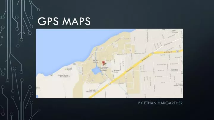
GPS Maps By Ethan hargarther
HISTORY OF GPS & Satellite navigation • Sputnik 1 launched in 1957 by the USSR • Learned by manipulating satellite orbit that it could be used to determine the position of a receiver on Earth • In the 1960’s, the United States began creating the modern GPS satellites • Navy, Air Force, and Army contributed to create NAVSTAR • 24 satellites were launched by 1993 to complete a coverage of the GPS system worldwide
HISTORY OF GPS Cont. • Initially GPS was intended for military and government use • 1st of September 1983 Korean Airlines flight KAL007 went off-course into USSR airspace and was shot down • US President Reagan then proposed GPS should be accessible civilian technology • Large turning point towards the creation of modern navigation systems
MODERN GPS • 24 satellites circling the Earth in 6 orbital paths • Original system cost $12 Billion • Send radio signals from 12,600 miles above Earth • Each covers a large area of the Earth’s surface – choreographed so that GPS receivers can receive signal from a minimum of 4 satellites • Signal from 4 satellites is required to get a reliable position reading • Five monitoring stations • Master control station receives all the data, corrects it, and sends it back to satellites
MODERN GPS CONt. • Each satellite transmits lower power radio signals on various frequencies for different users • Signals sent similarly to cell phone reception via line-of-sight, where they are able to pass through cloud, glass, and plastic, but typically not through solid objects
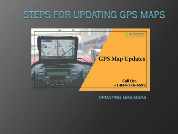
DIGITAL MAPPING • Updating digital maps is done through various methods • Field work – data collectors drive through road networks recording changes or discrepancies with current maps • Analysis of aerial and satellite imagery • User feedback – companies receive map feedback from users and send inspectors out to physically check reported locations
DIGITAL MAPPING COMPANIES • Primary digital map suppliers are TeleAtlas and Navteq • Employ mobile vans equipped with many high-resolution digital cameras • Vans also carry GPS receiver, odometer, and up to four computers equipped with tailor made programming to process data on board • Gives the ability to construct a library of information, and to update maps to reflect real world changes on navigation systems
ADVANTAGES OF DIGITAL MAPPING • Paper maps cannot be updated • On average, 5% of all roads in the world are altered in some way each year • Given time between collecting data for maps, drawing them up, getting them to typeset, printing, and then distributing them – the maps can quite literally be out of date by the time they reach the market • More than just direction data is provided (points of interest, traffic information, speed regulation, vehicle restrictions, etc.)
FUTURE OF GPS MAPS • Two major areas of advancement in the future of GPS maps: • Quality of maps that are provided – enhanced visualization improves the driving experience • 3D imagery, elevation models, and landmarks have incredible potential • Incremental updating – only the parts of the database that are added, deleted, or modified are being put through to a map user • Grants a user updates to their system as updates happen on the navigation provider’s end instead of mass updating maps • GPS III, 3x as accurate as current GPS systems