Download
1 / 22
220 likes | 333 Vues
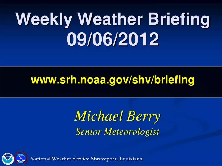
Weekly Weather Briefing 09/06/2012 www.srh.noaa.gov/shv/briefing. Michael Berry Senior Meteorologist. National Weather Service Shreveport, Louisiana. Overview. Today through Friday Hot conditions continue with near record temperatures. Heat Advisory continues Today and likely into Friday.

E N D
Weekly Weather Briefing09/06/2012www.srh.noaa.gov/shv/briefing Michael Berry Senior Meteorologist National Weather Service Shreveport, Louisiana
Overview Today through Friday Hot conditions continue with near record temperatures. Heat Advisory continues Today and likely into Friday. Rain chances Friday/Friday Night along/ahead of a strong cold front. Saturday through next week. Rain chances early Saturday. Heightened Fire Danger threat on Saturday. Much cooler air infiltrates the region (a touch of fall???). Moderating temperatures by the middle of the work week. Tropics Something brewing in the Northern Gulf once again??? Drought Conditions Improving??? National Weather Service Shreveport, Louisiana
H L L High Temperatures Wednesday L H L H L Scattered Thunderstorms Ongoing L
L Highs Today/Friday Today Friday L L H H
H L L Heat Advisory Today L H L H L Scattered Thunderstorms Ongoing L
H L L Why is it so hot??? H L H L L Scattered Thunderstorms Ongoing L
H L L Changes by Saturday??? L H L H L Scattered Thunderstorms Ongoing L
L Surface Map for Friday L Slight Risk of Svr Tstms L H H
L Surface Map for Saturday L L H H
L Rainfall amounts Midnight Friday/Saturday L L H H
L Rainfall amounts 7 am Saturday L L H H
L Rainfall amounts Noon on Saturday L L H H
L Heightened Post-Frontal Fire Threat Saturday North to Northeast winds 10 to 20 mph with higher gusts throughout the day Saturday. L L H H
L Heightened Post-Frontal Fire Threat Saturday Minimum Relative Humidity values near 25% across most of the Four State Region. L L H H
L Highs Sunday/Monday Sunday Monday L L H H
L Lows Saturday Night/Sunday Night Saturday Night Sunday Night L L H H
L Area of disturbed weather in the Gulf??? L L H H
L Area of disturbed weather in the Gulf??? L L H H
L Area of disturbed weather in the Gulf??? Would it be named “Isaac” again or not??? L L H H
Drought Monitor (September 6th) D3 (Extreme) drought conditions have been scaled back to Sevier and Howard Counties in Southwest Arkansas. D2 (Severe) drought conditions remain across SE OK, and portions of SW AR.
NEXT CONFERENCE CALL: Thursday, September 13th @ 10 AM www.srh.noaa.gov/shv/briefing National Weather Service Shreveport, Louisiana