Download
1 / 32
320 likes | 440 Vues
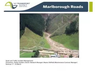
Communicating with Customers Road Traffic Incident Management Seminar 17-18 March 2014, Rotorua. Acknowledgement: NZTA, Opus. Why Communicate?. Seattle Travel Survey • 13% changed the time they left • 11% took a planned route with small changes to avoid a congested area

E N D
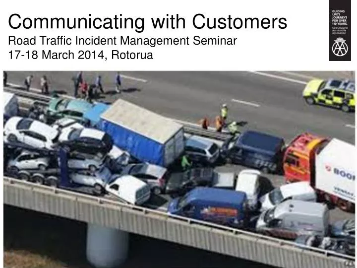
Communicating with Customers Road Traffic Incident Management Seminar 17-18 March 2014, Rotorua
Why Communicate? Seattle Travel Survey • 13% changed the time they left • 11% took a planned route with small changes to avoid a congested area • 9% took a completely different route from their planned one • 2% added, delayed or cancelled a trip • 1% changed the means of transport • 64% made no change US Department of Transportation: “Managing demand through travel information services”
Current Technology How to Communicate? Anticipated Technology
Likely to Use Drive-time Calculator Frequency
Focus Group: Issues/ barriers • inability to tailor information to only what you want • lack of options and knowledge of options • GPS accuracy (eg poor rural mapping/signal) • patchy rural mobile phone coverage
Focus Group: Information Media Preferred information modes: • radio: changing or real-time information • text/application alert • paper-based information eg maps • social media integration: younger users (eg Twitter to notify of events) • communications/dispatch systems: freight and other professional drivers
Focus Group: Critical Factors • accurate, timely (prefer real-time) • relevant (customisable) • affordable, free (advertising to offset cost is ok) • safe (not driving distraction) • simple look (only essential information) • easy to use, follow normal web conventions • size of phone download data (cost of files/apps) • non-tech option (print and carry)
Freight requirements: Pre-trip • Route choice: • roadworks, incidents, weather • height/weight restrictions • inspection facilities • Plan stops: • truck-suitable rest areas • accurate journey times • distance between (open) service stations • stock effluent facilities
Freight requirements: In-trip • To efficiently schedule breaks within driving hours • updates on road conditions, delays • location of severe weather, real time congestion • crowdsourcing info via dispatchers about rural hazards eg stock moving
The Big One: Incident with a Capital “I” Chch earthquakes, Hurricane Katrina, Boxing Day tsunami, NSW fires, climate events Civil Defence emergencies, planned evacuations
March 2013 Lifelines Report: Wellington “Not if but when” Region isolated by road at least 120 days Slips Paekakariki, Rimutaka Hill Water, power, telecomms, rail damaged Repatriate commuters, visitors, move critical personnel, emergency services Repair with equipment within region
Not Christchurch’s earthquake 6 internal isolated fragments (CBD, West, Porirua, Kapiti, Upper & Lower Hutt); slips, bridges Within these, isolated suburbs (Miramar) “Car use not viable” beyond suburbs Suburban roads only routes out Supermarkets not restocked for weeks
90% food, fuel, materials by sea through CentrePort
Lessons from Christchurch Managing traffic takes long hours, hard work Road closures change daily
Civil Defence emergency /planned evacuation • Evacuation routes, alternative routes • Need more than one way out (non-residential) • Safe and easily accessed areas in a tsunami • Even if specific evacuation routes not accurate for every emergency, important to have plans • Printed copy to put in survival packs – businesses should have this for business compliance • Accurate disaster recovery and safety information • Location of shelters and accommodation • Rideshare info: how and where
Day to day travel management Information must be real-time Congestion, incident information Road closures, dangerous/impassable areas Geospatial match up of needs/resources: rescue, first aid, fire, stabilising, shelter, water Petrol stations (open, with fuel)
Earthquake risk: tsunami Map of NZ: How many roads are within the tsunami envelope?