Download
1 / 17
170 likes | 247 Vues
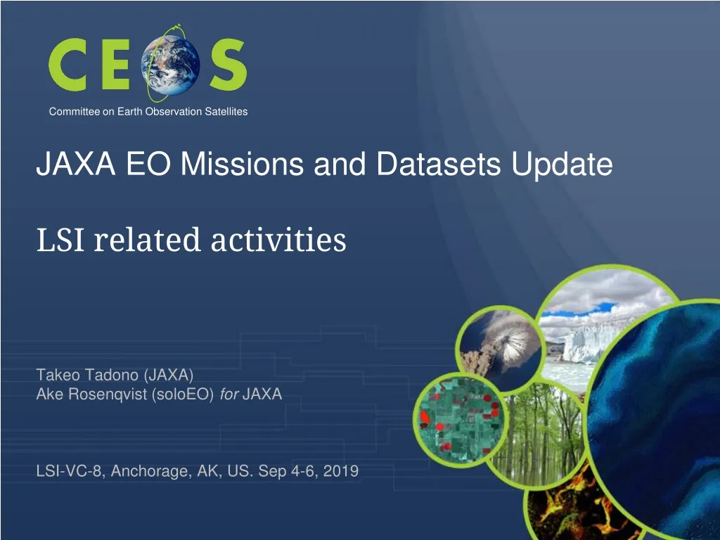
JAXA EO Missions and Datasets Update LSI related activities Takeo Tadono (JAXA) Ake Rosenqvist (soloEO) for JAXA LSI-VC-8, Anchorage, AK, US. Sep 4-6, 2019. Committee on Earth Observation Satellites. JAXA’s Satellites & Missions. As of September 2019. [Land and disaster monitoring].

E N D
JAXA EO Missions and Datasets Update LSI related activities Takeo Tadono (JAXA)Ake Rosenqvist (soloEO) for JAXA LSI-VC-8, Anchorage, AK, US. Sep 4-6, 2019 Committee on Earth Observation Satellites
JAXA’s Satellites & Missions As of September 2019 [Land and disaster monitoring] ALOS-2 / PALSAR-2 ALOS-4 (SAR) ALOS-3 (Optical) [1997〜2015] TRMM / PR [Precipitation 3D structure] GPM / DPR [2012〜] [Wind, SST , water vapor, precipitation,] GCOM-W / AMSR2 AMSR3 [Vegetation, aerosol, cloud, SST, ocean color] GCOM-C / SGLI [Cloud and aerosol 3D structure] EarthCARE / CPR [2009〜] [CO2, CH4] [CO2, CH4, CO] GOSAT /FTS, CAI GOSAT-2 GOSAT-3 SLATS (Super Low Attitude Test Satellite) [2008〜] WINDS (Wideband InterNetworking engineering test and Demonstration Satellite) ETS-9 (Engineering Test Satellite No.9) Japanese Data Relay System (JDRS) Mission status: Study ( ) Development On orbit Extended Life Period
ALOS Series Missions • Continuous observations successor “Daichi” (ALOS) from 2006 to 2011 • Contribute to ensure the safety and security of citizens, i.e.disasters monitoring and management, land deformation monitoring, national developing management, foods and natural resources, environmental issues in global etc. as common issues. • Contribute to industrial development based on Earth observation data i.e.National Spatial Data infrastructure (NSDI) and new applications. ALOS-2 (L-SAR) May 24 Launch Nominal Operation ReviewMeeting Initial C/O Initial Cal-Val Product release Mission operation (5 years) Post-mission operation ALOS-3 (Optical) Mission operation (7 years) Development ALOS-4 (L-SAR) Development ( )
ALOS-2 - 2019 • ALOS-2 and PALSAR-2 instrument status nominal • Completing 5 years in orbit. ALOS-2 entering “post-operational” phase from May 2019 • Reduction of duty cycle from 50% to 30% • Impact on Basic Observation Scenario (BOS) • 10 m dual-pol Fine Beam mode • Observations reduced to single global coverage per year at top priority • Additional observations planned at low priority focus on Super Sites • 50 m ScanSAR • No change. • Every 42-day repeat maintained
Advanced Optical Satellite (ALOS-3) Phase D Wide-swath and high-resolution optical imager
Characteristics of ALOS-3 Observation channel band allocations among optical satellites (visible to near-infrared). Blue Green Red Near-IR Coastal RedEdge Blue Green Red Near-IR Blue Green Red Near-IR1 Coastal Yellow RedEdge Near-IR2
Advanced Land Observing Satellite-4 (ALOS-4) Phase D Solar array paddle PALSAR-3 antenna SPAISE3 antenna Ka-band DTantenna
Characteristics of PALSAR-3 • Expanding swath width without decreasing the resolution and image quality of PALSAR-2 by using the digital beam forming (DBF). • To guarantee the continuity of ALOS-2 applications, PALSAR-3 would inherit the major function and performance (NESZ, S/A, etc.) of PALSAR-2 < 500 m Repeat-pass PALSAR-3 200 km× 1 beam The same reference orbit as ALOS-2 PALSAR-2 beam U2: 50 km × 4 beam LST Descending 12:00 Ascending 24:00 *single look nominal
InSAR Capability between PALSAR-2 and PALSAR-3 • ALOS-4 reference orbit is the same as ALOS-2 • Controlling accuracy is within +/- 500 m (= small baseline)
JAXA’s EO Data Distribution Plan • Promote Open and Free • Principle available spatial resolution • 10 meterresolution or coarser • Enhance provision of available products on the internet • To be open uponprocessed ALOS/AVNIR-2Global → ALOS PALSAR Global • G-Portal (Standard Products) • JJ-FAST,JASMES,JASMIN(for GFOI, GEOGLAM) • ARD or CARD4L compliant by format conversion software
[Last time] Schedule of ALOS/ALOS-2 Data Processing and Open Free Access As of February 2018 Global Japan Area ±60 Degree Area Data Processing ±60 Degree Area Japan Area Global Data Processing on Supercomputer JICA-JAXA JJ-FAST intermediate products (ARD)processing Data Processing Under negotiation with PD
Schedule of ALOS/ALOS-2 Data Processing and Open Free Access As of September 2019 ±60 Degree Area Global Data Processing ±60 Degree Area Global Preparation on Supercomputer JICA-JAXA JJ-FAST intermediate products (ARD)processing Data Processing Under negotiation with commercial data provider
GFOI Core Data Set – 25 m L-band SAR Mosaics and Forest/Non-Forest Maps • Annual global mosaics and Forest/Non-Forest (FNF) map • JERS-1 (1996) ~ ALOS (2007-2010) ~ ALOS-2 (2014-2017) Over 20 years changes • HH backscatter (gamma-0) 16 bits • HV backscatter (gamma-0) 16 bits • Mask image (no-data, water, layover, shadowing.) 8 bits • Localincidenceangle image, 8 bits BYTE • Observation date image (DN = daysafter mission launch) 16 bits • Forest/Non-forestmap 1996 JERS-1 (only HH-pol.) 2007-2010 ALOS 2015-2017 ALOS-2
GFOI Core Data Set – 25 m L-band SAR Mosaics and Forest/Non-Forest Maps • Global coverage • PALSAR-2 2018 (release • Q4 2019) • PALSAR-2 2017 • PALSAR-2 2016 • PALSAR-2 2015 • PALSAR 2007 – 2010 • JERS-1 ~1996 • Freedownload at: • https://www.eorc.jaxa.jp/ALOS/en/palsar_fnf/fnf_index.htm
GFOI Core Data Set – 25 m L-band SAR Mosaics and Forest/Non-Forest Maps • Regional (pan-tropical) coverage (25m) • JERS-1: 1996 – 1998 • Global low resolution (100m) coverage • JERS-1: 1996 – 1998 • Free download at: • https://www.eorc.jaxa.jp/ALOS/en/palsar_fnf/fnf_index.htm
Summary • JAXA’s EO missions and dataset processing status updated: • ALOS-2 is working well, and entering to post-operation phase • ALOS-3/-4 are to be launched in JFY2020 (~Q1/2021) • Clarify Open & Free data policy • Whole PALSAR scene-bases data reprocessing started, and will be completed by mid/2020 • CEOS ARD for Land (CARD4L): • Started from SAR Global Mosaics: reprocessing started • Compliant as much as possible: PALSAR, PALSAR-2… • Something will be considered for optical: AVNIR-2, ALOS-3