Download
1 / 39
390 likes | 622 Vues
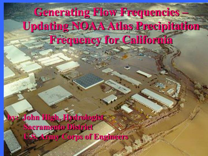
Generating Flow Frequencies – Updating NOAA Atlas Precipitation Frequency for California. by: John High, Hydrologist Sacramento District U.S. Army Corps of Engineers. Precipitation Frequency Curves also called “Depth Duration Frequency (DDF) Curves”

E N D
Generating Flow Frequencies – Updating NOAA Atlas Precipitation Frequency for California by: John High, Hydrologist Sacramento District U.S. Army Corps of Engineers
Precipitation Frequency Curves also called “Depth Duration Frequency (DDF) Curves” Q: What are they used for?? A: Input to Rational Equation or Rainfall-Runoff Model * Calculate peak discharge - channel design - levee design - culvert design - floodplain mapping * Calculate a runoff volume for a storage area or a dam
Watershed Map Damage reach Streamgage
1. Create Rainfall-Runoff Model & Calibrate to Historic Storm Event Concentration point Damage reach streamgage
1983 FLOOD RAINFALL IN INCHES PER HOUR PEAK = 53,500 CFS
Input “design storm” into model and adjust parameters to match flow frequency curve. Concentration point Damage reach streamgage hydrograph
Concentration point Damage reach streamgage 100-yr design hydrograph
Existing Depth-Duration Frequency Curves for California - NOAA ATLAS 2 “Precipitation Frequency Atlas of the Western United States”, Vol XI- California, 1973 - Department of Water Resources Rainfall Analysis for Drainage Design Bulletin 195, 1976 (regional frequency analysis by Jim Goodridge and staff)
NOAA Atlas 2 • 1. Covers 11 Western States • 2. Regional Frequency Analysis • Gumbel Extreme Value Distribution • Isopluvial Maps for 6-hr and 24-hr duration, 2 – 100 yr return periods • Use formulas/charts to derive other • durations/return periods • 6. GIS maps recently available in raster format (cells)
DWR Bulletin 195 • 1. Covers California • 2. Regional Frequency Analysis • Pearson Normal Distribution • Hard-copy maps of 2-yr thru 10,000 yr, short and long-duration values • Analyzed ~2,000 gages • Note: DWR will update Bulletin 195 near future. GIS map layers available within a couple years • - David Rizzardo of DWR
WHY HASN’T NOAA ALTAS 2 BEEN UPDATED? • NOAA Atlas updates are NOT in the Weather Service’s Mission Statement • U.S. Congress provides no funding • Funding must come from other federal or state agencies
WHO DOES THE UPDATE? • National Weather Service Hydrometeorological Design Studies Center Silver Spring, MDGeoff Bonnin, Chief • Small, top-notch team of scientists. • Future funding uncertain, so staff may be laid off.
Funding to Finish NOAA14 for California • Total Cost = $305,000 -or- more • 1. CALTRANS: $100,000 • Glenn Decou, Chief of Highway Drainage Design • 2. CA Department of Water Resources:$100,000 • 3. NWS, Sacramento Office (Coastal Storms Program) – maybe $50,000? • U.S. Army Corps of Engineers: $55,000 or more • COMPLETED PRODUCT IN 2 – 3 YEARS
LOCATION ON EAST SIDE OF LAKE TAHOE: 90% Confidence Interval Upper Bound = 5.53 inches 100YR, 24-HOUR DEPTH = 4.93 inches 90% Confidence Interval Lower Bound= 4.32 inches
SUMMARY • The National Weather Service will start work on NOAA14 for the rest of California within a few months. • Completion will be in 2 – 3 years • Study will incorporate state-of-the-art methods and technology • Includes quality control and screening – not all gages will be used • Study will include review and comment period of draft product • Concern: NWS used calendar year analysis of data for Semi-Arid region. Not appropriate for California – annual data should be separated by Water Year.
Weblink for NWS NOAA14 Precipitation: http://hdsc.nws.noaa.gov/hdsc/pfds/index.html Points of Contact: Dave Rizzardo, DWR 916-574-2617 John High, USACE 916-557-7136 THE END