Download
1 / 10
100 likes | 187 Vues
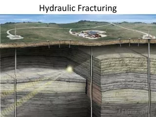
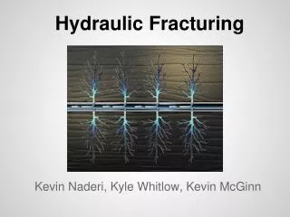
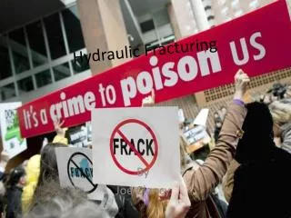
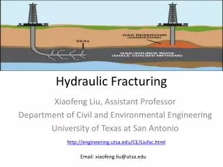
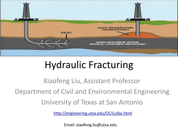
County Level Determination of Fracturing Risk. Final project, CE385K.4 Nick Kuzmyak. Fracturing in the US. Hydraulic fracturing continuing to expand Practices steadily getting more refined Water treatment/recycling Non-traditional water sources Microseismic imaging. Extent of Shale Plays.

E N D
County Level Determination of Fracturing Risk Final project, CE385K.4 Nick Kuzmyak
Fracturing in the US • Hydraulic fracturing continuing to expand • Practices steadily getting more refined • Water treatment/recycling • Non-traditional water sources • Microseismic imaging
Given the background info… • So, what should we be concerned about regarding hydraulic fracturing activity? • Proximity to large/dense population centers • Concurrence with aquifers • Shale plays with high fracking activity • Current goal of project: • Figure out which counties are the most at-risk • Determine what legislation is available there • Be able to target action
Most At-Risk Counties • A function of weighted factors: • Aquifer depletion • Fracturing activity level • Proximity to densely populated areas • Others to be added
Still To Do • Calculate true areas of polygons to get accurate measures of density • Wells per square mile • People per square mile • Create intrapolygonrasters: • Well density over a shale play • Well drawdown over an aquifer • Quantified risk over entire US • Expand “risk equation,” weight factors • Cross-reference at-risk counties with current laws