Download
1 / 19
190 likes | 275 Vues
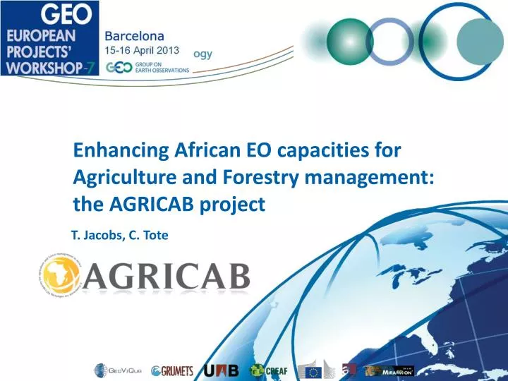
Enhancing African EO capacities for Agriculture and Forestry management: the AGRICAB project. T. Jacobs, C. Tote. Outline. Background: a “family” of Africa EO projects/partnerships Concept AGRICAB results & upcoming work: GEONETCast reception stations Training & software

E N D
Enhancing African EO capacities for Agriculture and Forestry management:the AGRICAB project T. Jacobs, C. Tote
Outline • Background: a “family” of Africa EO projects/partnerships • Concept • AGRICAB results & upcoming work: • GEONETCast reception stations • Training & software • Integrated applications: national use cases • Contributions to GEO(SS)
Background • GMFS – Global Monitoring for Food Security • 2003 – 2013, Operational Services • Early Warning, Agricultural monitoring, CFSAM • Focus countries: Senegal, Moz., Ethiopia, Zimbabwe, Niger, Sudan, Malawi • JRC MARSOP - Agriculture monitoring via RS • VGT4Africa (FP6-SPACE), 2005-2008 • DevCoCast (FP7-ENV, mid 2008 – Q1 2012) • GEOLAND2 (FP7-SPACE, 2009-2012) • Moved to Copernicus Global Land • AGRICAB (FP7-ENV, Oct 2011-Mar 2015) • Focus countries: Kenya, Moz, S-Africa, Senegal, Tunisia • ISAC(FP7-SPACE, 2011-mid 2013, Ethiopia) • e-AGRI (FP7-ICT, Morocco, Kenya) • … and many more
Project concept Community of practise Engage Policy organizations Component 3 Stimulating the uptake of EO techniques Organize 5 regional & national stakeholder workshops Support Master students, PhD’s Component 2 Predictive models and use cases Livestock, statistics, early warning, crop yield Statistics, early warning, crop yield Livestock, statistics, early warning, crop yield Irrigation Forests & fire mapping Use cases Kenya Use cases Southern Africa Use cases Mozambique Use case North Africa Use cases Senegal, Niger Short-term trainings in Europe Integrate & further develop tools Component 1 Sustained provision of EO data and tools Conduct 2 GEONETCAST Workshops & develop training material Operate LandHub, establish & operate help desk Continue productdissemination from DEVCOCAST, expand with DEIMOS, CBERS, other products
Setting up low cost GEONETCast receivers • Setup at training workshops in 2012: • Kenya Wildlife Service, Voi, Kenya • International Institute for Water andEnvironment Engineering (2iE), Ouagadougou, Burkina Faso • National network of GNC stations in Ethiopia: • Funded by UN-WFP office • Supported by training staff • June 2013: receiver at OSS, Tunisia
Training & workshops so far • Tailored training in Europe • Broad-scaled, international workshops on GEONETCast and free processing software • June 2012, Nairobi, Kenya • Nov 2012, Ouagadougou, Burkina Faso • Working with dedicated teams in national workshops: • E.g. crop production workshops in Mozambique and Senegal, in collaboration with GMFS project • Builds on pre-existing Senegalese multi-disciplinary workgroup (GTP) • Support to • Higher education • AMESD System Administrators (training @ VITO)
Training user communities - example 50+ participants at regional GNC workshops • All countries in region, with emphasis on AGRICAB focus countries • Mix of higher education, research and operational institutes • Incl. participants from existing networks:e.g. AMESD, ACF NGO, OSFAC • Encouraged the start-up of GeoS-NetAfricanetwork: multi-disciplinary, driven by Africans
Upcoming workshops • National WS: linked to use case development • Regional WS: Bringing national results to regional level • 3 regional thematic workshops (OSS, AGRHYMET, RCMRD) in 2013 • 2 regional thematic workshops in 2014 • GEO workshop in Africa, 2014
Supporting user communities: software • Updates to existing software: • E.g. VGTExtract utility, ILWIS + toolboxes • Focus on time series processing: • E.g. • initially developed by VITO for • Inter-linking existing tools
Use cases (1/3): Crop production systems Use cases in Kenya Senegal Mozambique Use case in North Africa
Agricultural statistics • EO for more cost-effective, high quality crop area estimates • Needs to be tested, incl. comparison of different approaches • Combination of: • Ground survey (points or areas) • Airborne campaign • High resolution satellite imagery (SPOT5 / RapidEye)
Agro-meteorological modeling • Quantitative weather and crop monitoring and crop yield forecasting • Approach: • Set-up weather data infrastructure (level 1) – only Mozambique • Implementation of regional crop growth model (level 2) • Implementation of statistical crop yield forecasting (level 3)
Early warning and crop mapping • Operational (near) real-time monitoring of vegetation status • Using time series of satellite images • Improve agro-meteorological bulletins • Qualitative relations between vegetation & weather indicators • Drought (Kenya, Senegal, Mozambique) / Flooding (e.g. Limpopo Mozambique) • Assess the impact of climate change and increased climate variability
Irrigation agriculture • High water abstraction for irrigated agriculture in North Western Sahara Aquifer System • Monitor land use/land cover changes using EO • Model water abstraction based on crop masks and water requirements, integrate time series of low resolution vegetation indices
Use cases (2/3): Livestock systems • Operational forage biomass monitoring &modeling for early warning (Senegal, Niger) • Improve Index-based Livestock Insurance (Kenya) • Improved maps of livestock production systems (Continental/Global)
Use cases (3/3): Forest Systems • Generation of tree cover maps for savannah and woodland in Southern Africa • Sustainable management of ecosystem • Food security (rangeland capacity) and energy security (charcoal & fuel wood) • Production & dissemination of fire information derived from MODIS in Southern Africa • Carbon storage and fire management strategies • Based on MODIS time series • Determine the effects of different land management policies on fire regimes
Contributions/links to GEO WP Tasks • IN-04 – GEONETCast (infrastructure) – EUMETSAT (co-lead) • Task contributor • Support the setup of receiving stations • “land hub” add-on to EUMETCast GNC • Supply data (SPOT-VGT, CBERS, Landsat?) on GEONETCast • ID-02 – Capacity building • Task contributor • Training, software, GNC capacity building, ... • AG-01 – Global Agriculture • GEO CoP-Forest • GEO WS in Africa (2014) • AfricaGEOSS?
Thank you! Tim Jacobs, Carolien Toté Flemish Institute for Technological Research (VITO NV), Belgium Tim.jacobs@vito.be; carolien.tote@vito.be On behalf of the consortium of 17 Partners from 12 countries: More information: see http://rs.vito.be/africa