Download
1 / 10
100 likes | 225 Vues
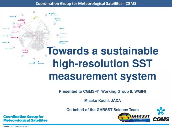
Towards a sustainable high-resolution SST measurement system Presented to CGMS-41 Working Group II, WGII/9 Misako Kachi, JAXA On behalf of the GHRSST Science Team. The GHRSST Mission. To provide operational users and the science community with SST measured by the satellite constellation

E N D
Towards a sustainable high-resolution SST measurement systemPresented to CGMS-41 Working Group II, WGII/9Misako Kachi, JAXAOn behalf of the GHRSST Science Team
The GHRSST Mission To provide operational users and the science community with SST measured by the satellite constellation GHRSST provides a framework for SST knowledge and data sharing, best practices for data processing, assessing uncertainties in satellite SSTs, and a forum for scientific dialog including how best to provide SSTs for climate studies, bringing SST to the operational users and scientific researchers.
GHRSST Overview • GHRSST, the Group for High Resolution Sea Surface Temperature grew out of a Pilot Project of the Global Ocean Data Assimilation Experiment (GODAE), 1997-2008. • Composed of a Science Team of researchers and operational practitioners. • Coordinates research and operational developments in satellite-derived SST. • Organized into Working Groups and Technical Advisory Groups focused on particular problems or activities • Data processing through Regional and Global Data Assembly Centers, combining satellite and auxiliary fields into common data formats for ease of access and analysis. • Data are available in perpetuity at the GHRSST Long Term Stewardship and Reanalysis Facility at the NOAA National Oceanographic Data Center (http://ghrsst.nodc.noaa.gov). • See https://www.ghrsst.org/.
SSES and Validation Technical Advisory Group (STVAL-TAG) GHRSST Data Assembly and Systems Technical Advisory Group (GDAS-TAG) Inland Waters Working Group (IW-WG) Diurnal Variation Working Group (DV-WG) Climate Data Record Technical Advisory Group (CDR-TAG) High Latitude Technical Advisory Group (HL-TAG) Applications and User Services TAG (AUS-TAG) Estimation Methods Working Group (EARWiG) Inter-comparisons Technical Advisory Group (IC-TAG) GHRSST Organisation CEOS SST Virtual Constellation (SST-VC) GHRSST Advisory Council GHRSST-PO Project Office Coordinator International GHRSST Science Team User Requirements for high resolution Sea Surface Temperature data products and services from operational, scientific, and climate communities.
AnalysisProducts Datamerging and analysis Add ancillary QC: SSES & dynamic flags NetCDF format NetCDF format SST Obs. Products Input SST data of Varied format& with no uncertainty estimates L3/L3P SSTMeasurements Applications GHRSST Strategy SST system quality control and uncertainty estimation L1 Radiance data
GHRSST exploits complementary data sources DataMerging • Polar Orbiting infrared has high accuracy & spatial resolution • Geostationary infrared has high temporal resolution • Microwave Polar orbiting has all-weather capability • In situ data provide reality in all weather conditions
Recent changes to the SST measurement system • Loss of AMSR-E • Main microwave radiometer - source of "all-weather" SSTs • Loss of AATSR • AATSR was the most accurate, dual-view infrared radiometer, and its replacement will not fly for a couple of years leaving a problematic gap • Launch of Suomi-NPP VIIRS • VIIRS is the prototype of the next generation US imager for environmental satellites • Launch of GCOM-W1 AMSR-2 • Next generation microwave radiometer • Launch of METOP-B AVHRR & IASI; launch of MSG-3 SEVIRI • Operational imagers providing SSTs from European polar and geo satellites
Key issues of relevance to CGMS: • GHRSST takes users requirements from many communities, including, for example: • The WMO Rolling Requirements Review (RRR) • GODAE Ocean View and JCOMM ETOOFS • GCOS • GHRSST Science Team members • GHRSST then synthesises these requirements into a common set of: • Measurement requirements for both space based and surface based instrumentation • Includes a gap analyses and list of priorities • Scientific and technical challenges for on-going R&D elements • Drives the program of the working groups and technical advisory groups
To be considered by CGMS: • GHRSST (together with the CEOS SST-VC) is preparing a white paper: “Sea Surface Temperature Constellation: Vision for 2025” • As part of its gap analysis, GHRSST has identified several issues that need urgent attention if a sustainable high resolution SST measurement system is to be provided for operational systems and science users • Issues that need urgent attention include: • Redundant capability needed for microwave SST measurements after loss of AMSR-E (e.g. addition of scanning microwave radiometer on HY-2 series to supplement AMSR-2) • Geostationary SST over the full Indian Ocean to support future coupled assimilation (e.g. relocate Meteosat-8) • Replacement ‘reference’ satellite SST dataset needed after loss of AATSR (e.g. high quality subset of METOP AVHRR) • Assistance from CGMS is sought to address these issues • In addition, GHRSST would like the CGMS to consider • Adopting the GHRSST data format for all SST datasets under its purview • Using existing GHRSST capability for serving SST datasets to users • Collaboration in the preparation of the SST Vision for 2025