Download
1 / 53
530 likes | 726 Vues
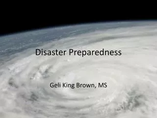
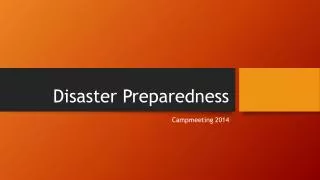
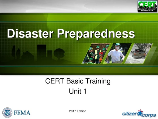
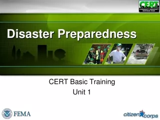
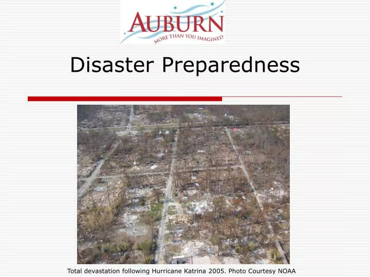
Disaster Preparedness. Total devastation following Hurricane Katrina 2005. Photo Courtesy NOAA. Why Prepare?. What is a disaster?. What is a disaster?. Any event that overwhelms local resources and requires the assistance of outside organizations in order to respond to or recover from it.

E N D
Disaster Preparedness Total devastation following Hurricane Katrina 2005. Photo Courtesy NOAA
What is a disaster? Any event that overwhelms local resources and requires the assistance of outside organizations in order to respond to or recover from it. Representatives from the Small Business Association survey the damage caused by a tornado. Photo Courtesy FEMA, May 17, 2003
Emergency Dial 9-1-1 Help 3-5 minutes Confined area Food & water Utilities Limited number of victims Disaster No phones 3-5 days Large area No food, water No utilities MANY victims RESOURCES OVERWHELMED! Emergency vs Disaster
What local resources are on-duty to serve Auburn during a normal day?
What local resources are on-duty to serve Auburn during a normal day? • Firefighters • 17 inVRFA coverage area (Auburn, Pacific, Algona) • Police Officers • 7 in City of Auburn • Emergency Medical Services / paramedics • 2 / South King County area • Public Works • Emergency Management Office • Multicare Auburn Medical Center
What other local resources are available in case of disaster?? Y O U! “95% of victims rescued in urban earthquakes are rescued by other victims within the first 24 hours.” Dennis Miletti, Professor Emeritus at the Institute of Behavioral Science, Department of Sociology, University of Colorado
What hazards do we have here? Flooding 100-year Flood Erosion Landslide Seismic Liquefaction Lahar
Floods • Caused by heavy rain, dam and levee malfunctions or failures, low absorption, and snow melt • Account for as much as 90% of the damage related to all natural disasters nationwide • Are the most frequent and costly in terms of human hardship • Most areas of the U.S. are subject to some flooding
Floods Sekiu, WA, March 2, 2009 Flood damage done to State Route 112 Snohomish, WA, November 8, 2006 Snohomish River Flooding Photographs by FEMA
Dams • Auburn is protected by 5 different dams. • Dams can fail due to natural events • Earthquakes, heavy rains, etc. • Dams can fail due to manmade events • Terrorism, accidents, etc. • Failures cause massive amounts of water to be suddenly released, all of which will flow downhill • Go to high ground immediately! Photo of Howard Hanson Dam.
Severe Weather • Elements include: • rain, snow, and/or hail • flooding • ice and cold • wind • heat • Considered deceptive killers: • auto accidents • exhaustion and heart attacks • hypothermia and asphyxiation • house fires • heat related illnesses
Earthquakes • Washington has 2nd highest risk in the United States. • Cause fires and explosions • Can trigger landslides, avalanches, tsunamis • Structural instability, i.e. dam failures which can cause flash floods
DROP COVER & HOLD Under tables/desks Weight-bearing Walls Corners & Doorways Avoid heavy objects hanging overhead Driving: Move away from power lines, bridges, overpasses Pull over and stop Be ready to walk Outside Stay low to ground Cover your head What to do in an earthquake If you are Inside- STAY INSIDE! DO NOT RUN Outside!
Earthquake Aftermath San Miguel, CA January 25, 2004 -- Damage to the historic Mission San Miguel Photo Courtesy FEMA Seattle, WA, March 4, 2001 -- Large van was crushed by earthquake debris in a Seattle parking lot. Photo Courtesy FEMA.
After the Earthquake • Be prepared for aftershocks • Put the phone back on the hook • Only call 911 for life threatening emergencies • Check the building for: • structural damage • damaged electrical, water, or gas lines • Turn off if damaged • chemical and flammable liquid spills
Can be triggered by: Severe weather Earthquakes Volcanic activity Floods Hurricanes Wildfires Generally occur during periods of intense rainfall or rapid snow melt. Usually start on steep hillsides as shallow landslides that liquefy and accelerate. Speeds range from 10 MPH to 35 MPH Cause ~$3.5 Billion in damage annually Kill between 25-50 people every year in the US Landslides
Liquefaction • When stressed, soil “liquefies” or loses strength, water pushes up to the surface • Problematic in soil that is sandy, or consists of fill • Auburn valley is a liquefaction-prone area
Volcanoes • U.S. is 3rd in the world after Japan and Indonesia in number of active volcanoes • Large explosive eruptions can endanger people and property hundreds of miles away • Hazards include: • ash • toxic gases • lava and pyroclastic flows • landslides • earthquakes • lahars
Volcanoes / Lahar • Lahar is a mud flow that comes from the volcano • Can carry trees, cars, houses • Moves very fast! • Much of Auburn can be impacted by lahar.
Lahar • Will only take 90 minutes to get here from Mt. Rainier. • Walk, don’t drive, to high ground. • 50 feet of elevation could save your life • You probably have to travel less than a mile to safety The Muddy River SE of Mount St. Helens, October 23, 1980 -- A mud line on trees shows depths reached by the mudflow. USGS/Cascades Volcano Observatory Photo by Lyn Topinka
Utilities &Power Outages • Extended Power Outages Typically related to: • severe weather such as snow, high winds and flooding • equipment failure, damage to buried cables, or line loading • major earthquakes, or fires Photos Courtesy City of Chandler, AZ, & Norfolk VA
Hazardous Materials • Hazardous materials may be: • Explosive, flammable, combustible, corrosive, reactive, poisonous, biological or radioactive, in solid, liquid or gaseous forms • May pose a potential risk to life, health, environment, and property if leaked • Industry is the primary user, but also found in our homes, cars, at work and recreation
Terrorism The use of force or violence for purposes of political or social change. Terrorists: • Create fear among the public. • Try to convince citizens that their government is powerless. • Get immediate publicity for their causes.
Transportation • Major Highways • Air Transportation • Railroads • Deep-Water Marine Ports Dec. 22, 2008 Bus Crash over I5 in Seattle. Photo Courtesy WADOT
Fire Hazards • Structure Fire: Homes, businesses, and other structures in populated, urban or suburban areas. • Wildland Fire: Forests, field crops and grasslands. • Wildland-Urban Interface: In or near forest or grassland areas where isolated homes, subdivisions, and small communities are also located. Photos Courtesy: Indian Health Service, NOAA, & Utah division of Forestry, Fire, & State Lands
EVENTS THAT HAPPEN ELSEWHERE- CAN IMPACT US.
Typically occur in mountain areas Avalanche risk is at its greatest 24 hrs following a snow fall. Up to 75% of victims are recreational explorers, who’ve stepped beyond the boundary. Road and pass closures impact local food and supply distribution. Avalanches Photo Courtesy Idaho Bureau of Homeland Security
Tsunami • A tsunami is a series of sea waves caused by an underwater earthquake, landslide, or volcanic eruption. • Tsunami waves can be as long as 60 miles and be as far as an hour apart. • The top of the wave moves faster than the bottom, causing the sea to rise dramatically, as much as 100 feet at times.
Hawaii is at greatest risk for a tsunami– getting 1 per year, and a damaging one every 7 yrs. California, Oregon & Washington experience a damaging tsunami every 18 years. Impacts local supply and distribution of product Can a Tsunami happen here?
After A Disaster After the disaster things won’t be normal: • Banks will be closed • Grocery stores will sell out • Gas stations won’t be able to pump gas • You may be stuck
The Post-Disaster Environment First responders are inundated by calls for help; urgent requests for assistance may not be met for hours or even days Most people are initially “on their own” dealing with the effects of the disaster
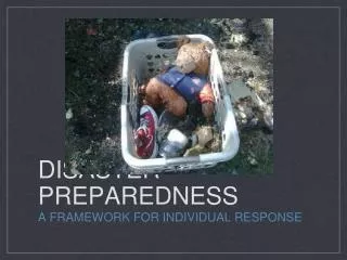
What you need to do: • Make a Plan • Build a Kit • Get Involved and Be Informed
Know your neighbors Evacuation Plan: Inside Home Outside Home Shelter Meet with your family and talk about what you will do. Become familiar with Emergency Notification Systems Write down contact information Work numbers School numbers Medical Out-of-State Shut off Utilities Test Smoke & Carbon Monoxide Detectors Restock 1st Aid Kit Make A Plan
Local phone lines get jammed If you have relatives or friends that live in another state, arrange with them to be your contact point in a disaster situation. Write their phone number(s) on a card and keep it with you. Make a card for each family member. Out of Area Contact
Purchase Insurance • Available whether you own or rent • Most policies do not automatically cover earthquake or flood damage • Federal assistance will cover only a fraction of your damages • Insurance is the only way to guarantee your ability to fully recover
Build an Emergency Kit Go Kit: 3 Days/person Home Kit Be sure kits can be transported easily
Utility Knife Dollar Tree $ .36 Radio Walgreens $ .81 Whistle Dollar Tree $ .19 Food (3 days) Walmart $6.50 Water (1 Gallon) Dollar Tree $1 Basic First Aid Kit Dollar Tree $1.10 Pencils (2) / Paper Dollar Tree $ .64 Leather Gloves Walmart $2.17 Waterproof Matches Walmart $ .52 Flashlight Dollar Tree $1.10 AA Batteries (2) Dollar Tree $ .27 Survival Blanket Walmart $3.17 Backpack / Bag Goodwill $2.20 Total: $20.03 Building a Kit: Got $20 in your pocket? What: Where: Price: Please Note: The City of Auburn does not endorse specific companies. This list is provided as a reference of what we found and where we found it. You may have the same, or even better, results with these or other stores.
Be Informed • NOAA Weather Radio • Code Red: Phone, Text, Email Alerts, Mobile App • Emergency Alert System (EAS) • E-mail and website alerts • Follow us on Facebook and Twitter! • http://www.auburnwa.gov/disaster • Facebook: City of Auburn Emergency Management • Twitter: auburnupdates
Get Involved • CERT • Map Your Neighborhood • First Aid / CPR • Volunteer • CERT • Amateur Radio • Shelter Operations • Red Cross • Host disaster preparedness classes at your churches, clubs and other places