Download
1 / 20
200 likes | 285 Vues
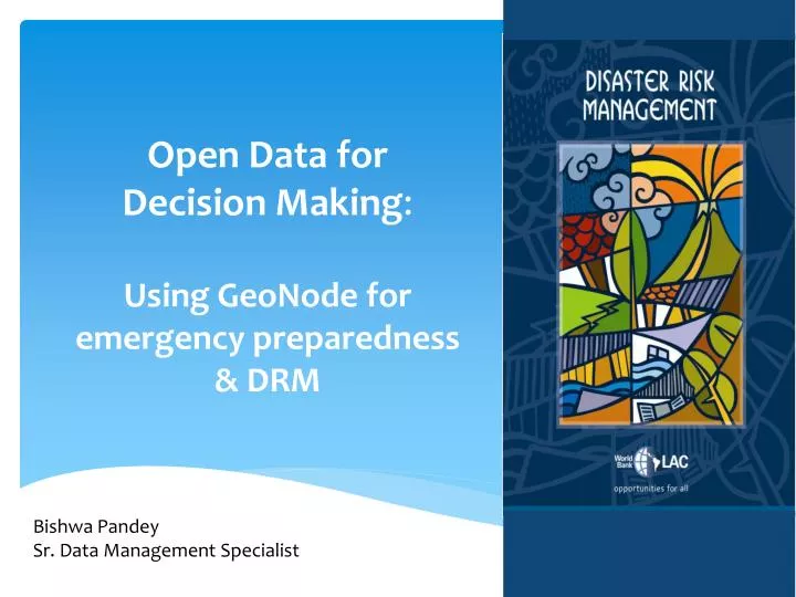
Open Data for Decision Making : Using GeoNode for emergency preparedness & DRM. Bishwa Pandey Sr. Data Management Specialist. Open Data and the World Bank.

E N D
Open Data for Decision Making:Using GeoNode for emergency preparedness & DRM BishwaPandey Sr. Data Management Specialist
Open Data and the World Bank The World Bank recognizes that transparency and accountability are essential to the development process and central to achieving the Bank’s mission to alleviate poverty. As a knowledge institution, the World Bank’s first step is to share its knowledge freely and openly.
Open Data for Resilience Initiative (OpenDRI) The Open Data for Resilience Initiative (OpenDRI) is a global partnership that aims to encourage and facilitate the sharing and use of climate, disaster and other geospatial data to enable more effective decision-making by providing the rationale, technical assistance, and tools for data sharing.
Building resilience and better decision-making Latin America and the Caribbean (LAC ) region is one of the most vulnerable region with respect to natural disasters About 20 countries in LAC region has half of the GDP exposed to natural disasters Damages due to natural hazards happen because of HOW and WHERE we build The key component in decision making is using (geospatial) data in decision making process
Six Pillars of OpenDRI Institutional Support Technical Support Innovation Capacity Building Knowledge Exchange Partnership
Technology & Innovation for DRM GeoNode - Collaborative data sharing tools InaSAFE - Deterministic risk assessment tool CAPRA - Probabilistic risk assessment tool OSM - Participatory mapping tools Open Data Tool Kit – Mobile data collection tools INNOAVATION TECHNOLOGY
GeoNode A central repository to manage and store spatial data Platform to collaborate and share Search and find data and map Easily visualize data to create maps for decision making Open-source software, easy to customize
Countries in LAC with GeoNode Haiti Belize Dominica St. Lucia SVG Grenada • Other countries in • Latin America • Colombia • Bolivia Guyana
A Case for Saint Lucia SLING: Saint Lucia Integrated National GeoNode
A Case for Bolivia - GeoSinager Comprehensive Management of Disaster Risk in Bolivia, providing access to geographic information produced by all member institutions of the National Risk Reduction and Disaster and / or Emergency SISRADE of easily and readily.
A Case for Bolivia – GeoSinager A Network of GeoNode - InstitutionalCollaboration SENAMHI SERGEOTECMIN Instituto Geográfico Militar Sistema Nacional de Información en Salud Ministerio de Obras Públicas
Geology http://georiesgos.sergeotecmin.gob.bo/ Health http://geosnis.sns.gob.bo/ Civil Defense http://geosinager.defensacivil.gob.bo/ Hydromet Military Geography Institute http://mapas.senamhi.gob.bo/ http://geonode.igmbolivia.gob.bo/ GeoNode Bolivia
Innovation Use of Smartphone in capturing real time data Students learning to use mobile mapping technology in Dominica
Innovation Tapping knowledge of experts From knowledge Input to decision making To Data
Updates & Progress • Increased data collection • Increased collaboration among ministries and agencies • Use of data in decision-making process • Emergency shelter vulnerability assessment • Prioritization of infrastructure investments • Inputs for territorial planning • Emergency planning and preparedness • Operational support • Building partnerships and coalitions
Using GeoNode in Other Sectors Assess most vulnerable populations Measure impacts of social and developmental programs Citizen feedback Territorial planning Monitoring and Evaluation Environmental Planning