Download
1 / 36
450 likes | 917 Vues
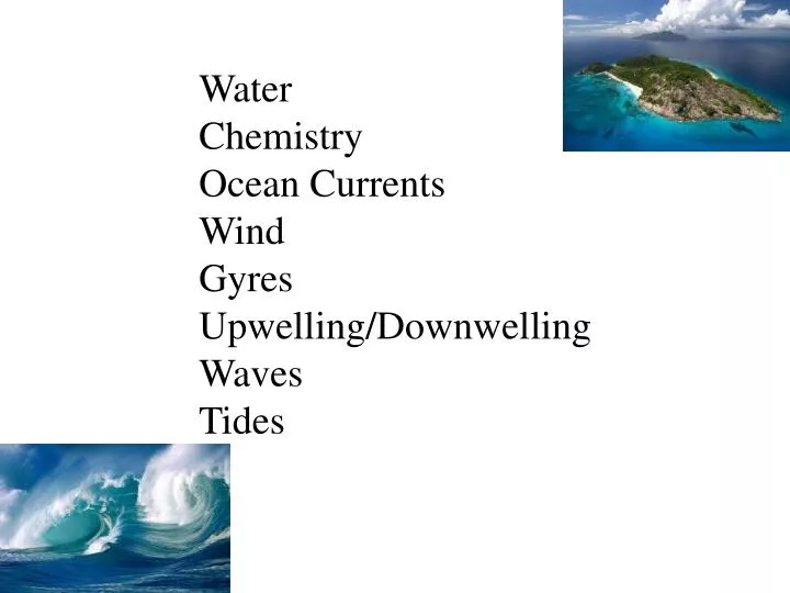
Water Chemistry Ocean Currents Wind Gyres Upwelling/ Downwelling Waves Tides. Water. Has semi-charged nature Good solvent Combines with other ions (Na + , Cl - , Ca +2 , Mg -2 , H + , HCO 3 - , CO 3 -2 High specific heat (long time to heat up, long time to cool down).

E N D
Water Chemistry Ocean Currents Wind Gyres Upwelling/Downwelling Waves Tides
Water Has semi-charged nature Good solvent Combines with other ions (Na+, Cl-, Ca+2, Mg-2, H+ , HCO3-, CO3-2 High specific heat (long time to heat up, long time to cool down) Sea Water: Salinity related to dissolved salts, not just NaCl. Measured optically (refractometer) refraction salinity chemically (chlorinity: just Cl- ) electrically (conductivity; more accurate than chlorinity) Typical units= ppt= parts per thousand=gm dissolved salts /kg sea water Open ocean water ranges from 33-38 0/00
Evaporation Ice formation Salinity Rain fall F.W. input from rivers (etc)
Ionic Composition of major ionic components of seawater is nearly constant: Cl- SO4- Na+Marcet’s Principle Mg-2 Ca+2 etc. This is true for the open ocean, but varies as one gets closer to a coast. Average time a constituent stays in sea water (residence time) is very high relative to the average time to evenly mix the constituent in the ocean.
Salinity varies with Latitude Bahama Bank; 40 ppt
Temperature Total Range: -1.9 – 40 o C Open Ocean: -1.9 – 27 o C Coryphaenoidesacrolepis, Rattail fish; Monterey Canyon, CA Deep (>1000 m) tropical oceans : 2-4 oC
Relevant Chemistry (recall photosynthesis & cellular respiration) H2CO3 CO2 + H2O Carbonic acid Carbon dioxide & Water H+ + HCO3- H2CO3 Bicarbonate ion HCO3- H+ + CO3-2 Carbonate ion Ca+2 + CO3-2 CaCO3 Calcium Calcium carbonate; foundation of Limestone; corals etc. Calcification
Calcification w/r/t temperature Levinton 1982 (23-25oC for coral REEFS) http://www.springerlink.com/content/l63421782p60jh88/ (15-19oC is threshold) Optimum rate of calcification in warm water
Ocean Currents Coriolis Effect: Turntable visualization Equator rotates at about 1700 km/hr 30oN, 30oS Latitude rotates at about1500 km/hr 60oN, 60oS Latitude rotates at about 800 km/hr Coriolis Effect Sine (latitude) CE 0 0.0 0.5 0.86 90 1.0
Wind Wind drags sheets of water along the surface. Velocity of the surface is 0.02 Velocity of wind (rule of thumb) Surface sheet pulls on “sheets” below it, to a lesser and lesser extent Wind effects can be detected down to 100 m Stoke’s Drift: the wave-generated movement of a particle suspended in water Wind 100 m
Surface water is deflected 45 deg. from direction of the wind due to Coriolis Effect 2. Surface water drags layer below it in the same direction, but at a slower speed. The slower speed shortens the length of the vector ( ), the Coriolis Effect deflects the direction of the vector. Wind Surface layer 100-150 m At depth, water can move in opposite direction to the wind !!!
This model is known as the Ekman spiral, named for the Swedish physicist V WalfridEkman (1874-1954) who first described it mathematically in 1905. Ekman based his model on observations made by the Norwegian explorer Fridtjof Nansen (1861-1930). http://oceanmotion.org/html/background/ocean-in-motion.htm
Gyres Caused by Coriolis Effect: Pushes water to center of gyre. Sea surface can be 2m higher in center of gyre than on periphery. Can concentrate floatable garbage 2m Water flows down slope of lens= gravity flow Geostrophic flow= balance between Coriolis flow to center and gravity flow to periphery “Earth”, “Twist; twisted cord”
Where does it rain the most? Where the sun shines the most!
Height Tropopause Warm moist air rising Hadley Cell Hadley Cell Cold dry air descending HIgh Low High North Subtropical High South Subtropical High ITCZ Northeast Trade Winds Doldrums Southeast Trade Winds Horse latitudes Horse latitudes Deserts Tropical Rainforests Deserts
Tropic of Cancer Westerlies 23.5 o N latitude Trade winds ITCZ
90 North Pole 60 Polar High Pressure Polar easterlies 45 Polar Front – low pressure 30: Deserts Surface westerlies 23.5 Subtropical High Pressure Northeast trade winds Intertropical Convergence Zone – low pressure - 0 Southeast trade winds Subtropical High Pressure Surface westerlies Polar Front – low pressure Polar easterlies Polar High Pressure South Pole
Upwelling Density Gradient Downwelling
Waves λ Direction of movement H T= period; time it takes for one λ to pass a point (sec/crest) H= height
Frequency (f)= crests/sec Period = sec/crest = ( 1/f) Velocity = M/sec= wavelength/period=λ/T Substituting: Velocity = λ/1/f or Velocity = λf
The waves reach shallower water and the rotating circles of water begin hitting the bottom. The bottom slows down relative to the surface and λ gets smaller. The “frequency push” from ocean remains constant, but there is now resistance from the bottom. …..Leads to Refraction. SinceλDECLINES and f stays at least the same…….V must decline V=λf Typical ocean waves can travel at approx 55.8 mph (90 km/hr) Tsunami waves travel at 589 mph (950 km/hr)
Refraction: Change(∆) in direction of a wave at a boundary between two media. Depth change acts like a media change
Tides The moon orbits the earth 50 min slower than the earth rotates around it’s axis View from North Moon rotates around earth every 27.32 days It orbits between 28.5 N Lat. and 28.5 S Lat. Sun, Earth, Moon http://library.thinkquest.org/29033/begin/earthsunmoon.htm
The moon rises about 50 min. later each day 12 12:50 1:40 2:30 At midnight Thursday Wednesday Tuesday Monday
Gravitational Pull Centrifugal Force Do student demo
Timing of tide is based on orbital expectations of Sun & Moon Transit time of tidal bulge is modified by ocean depth and basin shape (morphology) Shallow, narrow basins SLOW the tide. Therefore, Timing can be different compared to expectations. Eg. Bay of Fundy (NB, NS, Canada, Gulf of California, Bristol Channel (UK)
Tide Predictions found at: http://www.pol.ac.uk/ntslf/pdf/Tortola_2010_+0400.pdf High HighHighHighHigh Low Low Low noon midnight noon noon midnight noon Semidiurnal Mixed Diurnal “partial daily” “daily”
Questions How do we incorporate this into our research?