1 / 27
270 likes | 278 Vues
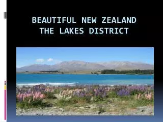
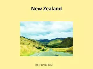
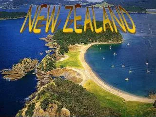
New Zealand is a land of great contrasts and diversity. Active volcanoes, spectacular caves, deep glacier lakes, verdant valleys, dazzling fjords, long sandy beaches, and the spectacular snowcapped peaks

E N D
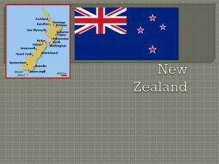
Welcome to the land of Aotearoa (New Zealand) Mount Aspiring National Park (established in 1964) is a wonderful mixture of remote wilderness, high mountains and beautiful river valleys. The park is part of Te Wahipounamu - Southwest New Zealand World Heritage Area
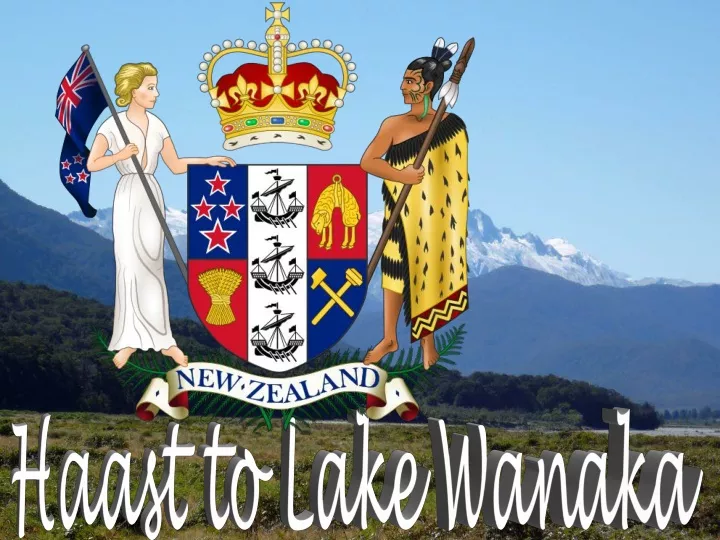
Tasman Sea After our tours of the west coast and glacier country, it is time to wave goodbye to the Tasman sea and move off inland. Our target is Wanaka in Otago on the other side of the Southern Alps, reachable on Highway 6 via the Haast Pass. In 1990 the Haast area was included as part of a UNESCO World Heritage Site, giving international recognition as a location of significant natural value to Te Wahipounamu - The South West New Zealand World Heritage Area South Pacific Ocean
Haast is an area on the west coast of New Zealand's South Island. The Haast region covers over 2,500 km2 (970 sq mi). The region is named after Julius von Haast, a Prussian born geologist instrumental in the early geological surveys of New Zealand
The 2006 census recorded a population of 297 for the Haast statistical area, a decrease of 12 from the 2001 census. The majority of this population is located in three communities - the Haast township, Haast Junction, and Haast Beach.
The Haast river flows alongside the South Island's Highway 6 as it traverses the Southern Alps between Haast and Haast Pass.
The Brewster Glacier above Haast Pass is a remnant of the vast glaciers that once covered this area. The glacier is fed by small neve on the south side of Mt Brewster (2515m)
The Haast Pass road follows an ancient trail used by Maori travelling to the West Coast in search of pounamu/greenstone/jade. The name for the trail is Tiora-patea, meaning "The way is clear". The Haast Pass is the lowest across the Main Divide (563 metres above sea level)
A gold prospector called Charles Cameron is considered to be the first pakeha to find the pass. He went alone to the West Coast wanting to reach there by the most direct route from Dunedin, and crossed the pass in January 1863. He buried his powder flask to the west of the pass. Close behind him came Julius von Haast
His party of five found the journey very difficult with constant rain and flooded rivers which slowed their progress and led to a shortage of food. Haast named the pass after himself and claimed to be the first pakeha to have travelled through it, but the discovery of Cameron's flask discredited this claim
Now with a sealed road travel through the pass offers easy motoring and there are a number of well-marked walks along the way
Thunder Creek, a small tributary of Haast River, ends as a 28 metre high waterfall that tumbles into Haast River. Since the retreat of glacier ice in this area, the Haast River has cut a canyon the height of the watefall, which some local people know as "Ninety Foot Falls".
Thunder Creek drains a short narrow valley. Water, like ice, has left its imprint on the land. The Haas River caries huge amounts of rock debtis and sediment, much of which has been deposited downstream on the valley floor, where the river becomes braided and forms numerous channels Tasman Sea
Lake Wanaka lies at the heart of the Otago Lakes in the lower South Island of New Zealand, at an altitude of 300 metres. Covering an area of 192 km2 (74 sq mi), it is New Zealand's fourth largest lake, and estimated to be more than 300 m (980 ft) deep. Its name is Māori, a corruption of Oanaka ('The place of Anaka', a local tribal chief)
Text: Internet Pictures: Sanda Foişoreanu DoinaGrigoraş All copyrights belong to their respective owners Presentation: Sanda Foişoreanu https://www.slideshare.net/michaelasanda https://ma-planete.com/michaelasanda 2011 Sound: Slice of Heaven - Dave Dobbyn