Download
1 / 5
50 likes | 238 Vues
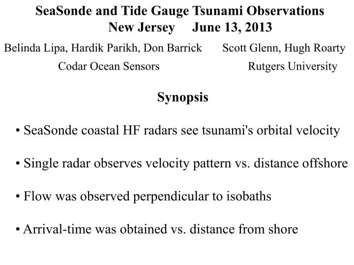
SeaSonde and Tide Gauge Tsunami Observations New Jersey June 13, 2013. Belinda Lipa, Hardik Parikh, Don Barrick Codar Ocean Sensors. Scott Glenn, Hugh Roarty Rutgers University. Synopsis • SeaSonde coastal HF radars see tsunami's orbital velocity

E N D
SeaSonde and Tide Gauge Tsunami Observations New Jersey June 13, 2013 Belinda Lipa, Hardik Parikh, Don Barrick Codar Ocean Sensors Scott Glenn, Hugh Roarty Rutgers University Synopsis • SeaSonde coastal HF radars see tsunami's orbital velocity • Single radar observes velocity pattern vs. distance offshore • Flow was observed perpendicular to isobaths • Arrival-time was obtained vs. distance from shore
SeaSonde onshore velocity vs time Tide gauge water level vs time Distance from shore : Blue -7km Red -9km Black-11kmGreen-13km Arrival time vs. distance from shore Tsunamiobservations June 13, 2013 1700-1900 • First observations were offshore - velocity 'minimum' (wave trough) • Observed 23 km out, 30 minutes before coastal arrival • Velocity weakens at coast because semi-hard boundary stops flow • Tide gauge (height) and radar (velocity) arrival times at coast agree Blue: SeaSonde Red: Tide Gauge
Tsunami observations June 13, 2013 2100-2400 SeaSonde onshore velocity Tide gauge water level Distance from shore : Blue -7km Red -9km Black-11km Green-13km • Velocity is first onshore 'maximum' (wave peak), then offshore 'minimum' (wave trough) • Radar peak/trough times precede tide-gauge’s by 30 minutes
Future Work: Multiple Radar Sites • Detrend velocities • Generate tsunami 2D current maps from adjacent sites in area • Interpret patterns in terms of bathymetry and tsunami height Example of current maps from the 2011 Japan tsunami IOOS MARACOOS Regional Association SeaSonde radar network managed by Rutgers