Download
1 / 22
230 likes | 578 Vues
Landsat Calibration: Interpolation, Extrapolation, and Reflection. LDCM Science Team Meeting USGS EROS August 16-18, 2011 Dennis Helder, Dave Aaron And the IP Lab crew. Outline. Interpolation: What has been done to calibrate the Landsat archive?

E N D
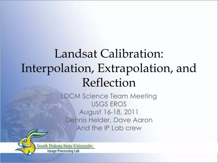
Landsat Calibration: Interpolation, Extrapolation, and Reflection LDCM Science Team Meeting USGS EROS August 16-18, 2011 Dennis Helder, Dave Aaron And the IP Lab crew
Outline • Interpolation: What has been done to calibrate the Landsat archive? • Extrapolation: How is calibration going to extend to the LDCM era? • Reflection: Calibration, the Science Team and…
Interpolation • Where were we when we started this dance in January 2007? • Landsat 7 ETM+ was stable with calibration to 5% uncertainty • Landsat 5 TM was unstable but characterized, cross-cal’d to ETM+ with 3-5% precision. Now 27 years old! • What didn’t we know in January 2007? • Landsat 4 TM calibration (although nearly done) • Landsat MSS calibration • 5 sensors x 4 bands x 6 detectors = 120 channels • Consistent with each other? Absolute?? • Use of Pseudo Invariant Cal Sites (PICS) • Extend back to 1972? • Data available? • Enough precision?
Interpolation (2) • Where are we today in August 2011? • Landsat 4 TM calibration done • Landsat 1-5 MSS sensors done • Consistent with each other • Placed on an absolute scale • Confident that the PICS approach can provide 3% precision
Interpolation (3) • From Forty-Year Calibrated Record of Earth Reflected Radiance from Landsat: A Review • By Brian Markham and Dennis Helder, Remote Sensing of the Environment, Vol. Sometime soon…
Interpolation (4) • Does all this calibration effort, mostly in the desert, actually improve things? • A quick study in the forests of Washington state… • Landsat 5: 20 MSS and 16 TM scenes from 1984 – 1992. 7 same day scenes. • Nine Hyperion scenes for target spectra
Site Selection • Selection of vegetated site for cross cal is dependent on • Nature of vegetation: not changing frequently • Homogeneity of Vegetation • Availability of hyperspectralsignature of target area • Available cloud-free TM and MSS scenes • Coniferous forest site • located at WRS Path/Row-46/28 • In Washington State
ROI Selection ROI 4: 0.678 km2 26X 29 Pixels ROI 2: 0.414 km2 22 X 21 Pixels ROI 1: 0.550 km2 34 X 18 Pixels ROI 3: 2.527 km2 52 X 54 Pixels
L5 MSS and TM RSR Profile (Band 1-4) with Target Spectral Signature 1 TM MSS 0.9 Average Minimum Maximum 0.8 0.7 0.6 NormalizedResponse 0.5 0.4 0.3 0.2 0.1 0 400 500 600 700 800 900 1000 1100 1200 Wavelength(nm) Spectral Signature of Target overlapped with TM and MSS RSR Minimum - 5/31/2007 Maximum – 9/7/2005
MSS to TM Consistency: Forests With Calibration With SBAF With Calibration No SBAF No Calibration No SBAF Correction Δ=3% Δ=7% Δ=23% Δ=3% Δ=8% Δ=16%
MSS to TM Consistency: Forests With Calibration No SBAF With Calibration With SBAF No Calibration No SBAF Correction Δ=8% Δ=41% Δ=34% Δ=3% Δ=6% Δ=3%
Interpolation Extrapolation • Second area of interest/concern was detector relative gains, uniformity, banding, etc. • Note ALI scene in the background • This provides the perfect segue into… 1. Relative SCA-to-SCA Correction based on the ten detector overlap 1. Post-Image Bias removal 2. SCA based RG correction EO12005070130654_SGS_01
Extrapolation (1) • What are we getting with the OLI sensor? • Comments also generally apply to TIRS • Better dynamic range • Better signal-to-noise ratio • Better radiometric resolution • Better absolute calibration • Better stability(?)
OLI Radiometric Performance (Slide courtesy Brian Markham) • SNR • SNR significantly exceeds requirements and heritage • Calibration • Absolute uncertainty ~4% • Extensive round robin for validation • Transfer-to-Orbit uncertainties included • Stability over 60 seconds (2 standard scenes) • <0.02% 2s • Stability over 16 days (time between Solar Diffuser Cals) • <0.54% 2s for all but Cirrus Band which is <1.19% Median SNR 16 Day Stability Change in Response, Green band, w/ hot cycle in middle
Extrapolation • Comparison of radiometric resolution of ETM+ and OLI • ETM+ = 8 bits • OLI = 12 bits • Based on published documents • Landsat 7 Science Data Users Handbook • LDCM OLI Requirements Document • 5—8 times improved radiometric resolution with the SNR to support it!
Excerpts from OLI Requirements 5.6.2.3 Pixel-to-Pixel Uniformity • 5.6.2.3.1 Full Field of View • The standard deviation of all pixel column average radiances across the FOV within a band shall not exceed 0.5% of the average radiance. • 5.6.2.3.2 Banding • The root mean square of the deviation from the average radiance across the full FOV for any 100 contiguous pixel column averages of radiometrically corrected OLI image data within a band shall not exceed 1.0% of that average radiance. • 5.6.2.3.3 Streaking • The maximum value of the streaking parameter within a line of radiometrically corrected OLI image data shall not exceed 0.005 for bands 1-7 and 9, and 0.01 for the panchromatic band. These requirements allow the presence of striping and banding…
OLI Scene Simulation • Lake Tahoe simulated OLI image before gain/bias correction • Courtesy John Schott/RIT via DIRSIG • Fully synthetic scene • OLI Simulation • 14 arrays • 60 detectors each; actual values • 12 bit quantization • Actual OLI noise levels • Actual spectral response • Actual detector gains/biases • Sampled observed non-linearity function • No radiometric corrections applied—raw data • Perfect geometry
OLI Scene Simulation (2) • Lake Tahoe Image after gain and bias correction • No non-linearity correction applied • Beautiful!
OLI Scene Simulation (3) • Gain/bias corrected image with land stretch • Square root stretch • Beautiful!
OLI Scene Simulation (4) • Water stretch on Lake Tahoe Simulated Image • Linear 2% • Striping • Banding • Noise • OLI (and TIRS) will be better than anything you’ve seen, but they will have ‘additional features’
Extrapolation • OLI and TIRS will be substantially better than any previous Landsat sensor with respect to radiometric performance • Substantial increase in radiometric resolution and SNR will allow users to detect the signature of the instrument in homogeneous regions with severe stretches • Strongly suggest users accept this as an additional benefit of using high performance sensors rather than viewing it as a drawback
Reflections • What a great job! • Nice to work with some really smart people for a change! • Push the calibration in your applications • What are the limits? • Where does it exceed your needs? • Where does the cal fall short? • What’s the value proposition? • How do you sell a 40 year program to a 2 year government?