Download
1 / 19
190 likes | 422 Vues
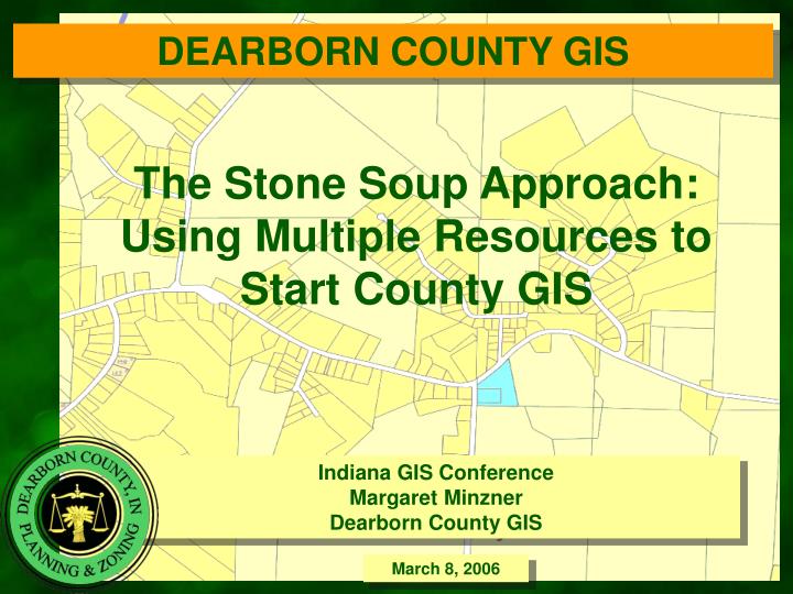
DEARBORN COUNTY GIS. The Stone Soup Approach: Using Multiple Resources to Start County GIS. Indiana GIS Conference Margaret Minzner Dearborn County GIS. March 8, 2006. Dearborn County Geographic Information System (GIS). GIS Coordinator now on staff Data Layers Currently in Place:

E N D
DEARBORN COUNTY GIS The Stone Soup Approach: Using Multiple Resources to Start County GIS Indiana GIS Conference Margaret Minzner Dearborn County GIS March 8, 2006
Dearborn County Geographic Information System (GIS) • GIS Coordinator now on staff • Data Layers Currently in Place: • Parcels-scanned • Land Use-scanned • Zoning Classification • Address Points • Roadway Centerlines and Pavement Width • Guardrail and Signage locations • Bridge Inventory (and small structures) • Sewer Infrastructure • Traffic Counts • Crash Reports • Proposed Road Projects • Historical Structures Survey • Coming Soon: • Orthophotography • Contours
Dearborn CountyGIS History • Early GIS History • It was believed that GIS was too expensive • Paid for creation of layers from other projects • Address point file come from Tax Assessment • Centerlines came from Road Inventory • Enough of a start to merit a GIS Position
Dearborn CountyGIS 2005 Layers Parcel layer • Parcel layer was created from the scanned plat maps • MPO used those maps to create Parcel layer with ArcScan • Still scrubbing data and hammering out protocol for updating and maintenance of layer • OK for planning purposes
Dearborn CountyGIS 2005 • GIS 2005 • GIS position started in January 2005 • Received ESRI IAAO Assessors Grant for additional • software and training • Received PSAP Recovery for address point file • GIS integrated into 911
Dearborn CountyGIS Strategy • Finding data: Become a super sleuth • Look for existing data from federal and state gov’t • that may be useful (Indiana GIS Atlas, etc.) • Look for data that may exist from neighbors • and local entities • Many different CAD drawings exist-seek them out • Get good at geocoding, georeferencing, etc.
Dearborn CountyGIS Action • GIS In Action: Making what you do have count • Make pretty maps • Make them quickly • Help out with additional help whenever possible (try not to be too smug)
Dearborn CountyGIS Uses • GIS In Action: Making what you do have count • With limited sources I have still been able to provide assistance for many projects…. • Land Use Maps • Economic Development Maps • Collaborative Approach to Sanitary Sewer Design
Dearborn CountyGIS Uses • Future Land Use • GIS used in planning process for focus groups and summarize findings
Dearborn CountyGIS Uses • Economic Development Maps: • Maps have been integral economic development planning
Dearborn CountyGIS Uses • Sanitary Sewer Design • Imported CAD files • Visual need for collaborative approach
Dearborn CountyGIS 2005 Coordination • GIS Assessment • Using previous GIS Community Assessment • Analyzed Existing GIS • Revised Feasibility Study • Developed Future Plan
Dearborn CountyGIS 2005 Coordination • Integration with other Departments • Conducted Technology Seminar: • GIS Defined • County GIS Status • Direction wanted for future • Shop Visits Departments • Task Force monthly meetings • Training individual and group training (Ivy Tech ArcExplorer Training)
Dearborn CountyGIS Development Contours • Buy-in is happening • County is piggybacking off Orthophotography Project • County approved funding for acquiring contours • This project is in progress
Dearborn CountyGIS Development Contours • Buy-in is happening • County is supporting cooperation inter-departmentally • County is beginning to see the value of GIS and looking into options for IMS, permitting process improvement, and making GIS own department
GIS Next Steps • Future Layers • Complete Parcel Database • Contour Layer • Update existing Layers • Process for maintaining data
GIS Next Steps • Future GIS Plans • Continued training • New Server with Remote access • Continued GIS Task Force • Increase GIS users in departments • Collaborate with other local government
GIS Services • Dearborn Count has been able to piece together GIS using available resources • State Orthophotography Project • ESRI IAAO Grant • PSAP recovery • Tax assessment • Road Inventory • OKI (MPO) • In house work • Ivy Tech • Using available resources has fostered additional interest and commitment without threatening price tags. Summary
Thank You www.dearborncounty.org/planning