Download
1 / 11
170 likes | 567 Vues
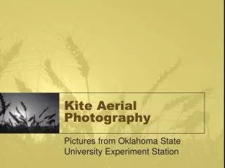
Aerial Photography. An Archaeological Aid. Aerial Photography. Facts: Aerial photos reveal buried sites that can not be seen from the ground Planes, balloons, UAVs Types of marks seen: Shadow marks: produced by different angles of the sun

E N D
Aerial Photography An Archaeological Aid
Aerial Photography • Facts: • Aerial photos reveal buried sites that can not be seen from the ground • Planes, balloons, UAVs • Types of marks seen: • Shadow marks: produced by different angles of the sun • Soil Marks: produced by different tones of sub-soil. Usually fragments of mortar, other building materials • Crop Marks: buried features affect growth above them and therefore color.
Ancient Pueblo Site Pueblo site seen from ground level Aerial photo of same site now showing layout of ruins
Pueblo Crop Marks Although grass, trees and brush grow all over the site, none grows over the walls and room blocks themselves.
Negative Crop Marks from Austria Concentric rings in photo are ditches.
Crop Marks from Musov, Moravia Crops viewed from surface Aerial view of same place
Negative Crop Marks • Gallo-Roman Villa Burgundy, France Not evident from ground Large Roman villa, 100m per side. Outline of rooms can be seen. Walls are 60 cm below surface
Color Infared Photography CIR shows foot paths used by Maya (Costa Rica).
Color Infared Photography CIR shows 3 footpaths which connect a prehistoric cemetery beneath the forest canopy.
Aerial Photography • Why use it? Ground level photo of person walking among scattered stones
Aerial Photography • Why use it? Same area as previous slide but taken from the air! These stones are aligned in a large grid., possibly to outline food gardens This example clearly shows what can be missed if aerial surveys are not used in archaeological prospecting