Download
1 / 26
260 likes | 278 Vues
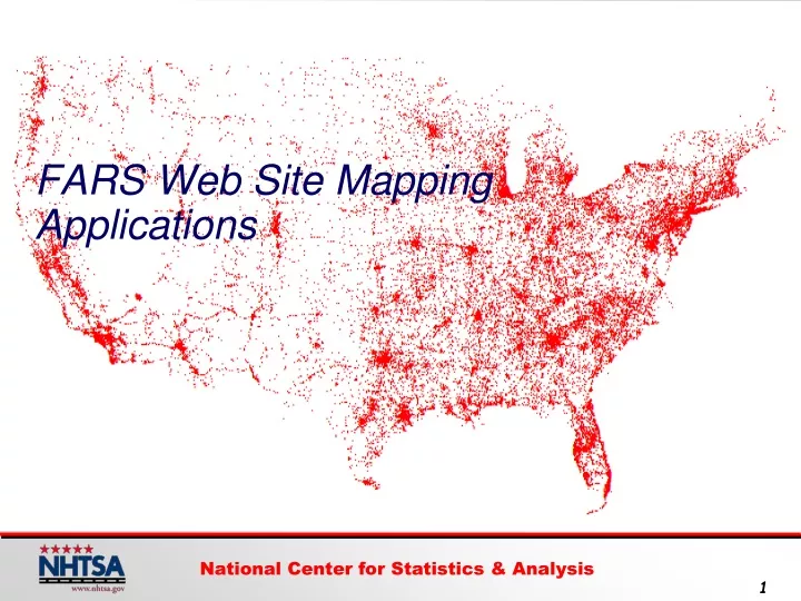
FARS Web Site Mapping Applications. Resources to be Covered. *. State Traffic Safety Information (STSI). **. Fatality Analysis Reporting System (FARS) Encyclopedia. FARS: Reporting Rates for Lat-Longs. 3. FARS: Reporting Rates for Lat-Longs.

E N D
Resources to be Covered * State Traffic Safety Information (STSI) ** Fatality Analysis Reporting System (FARS) Encyclopedia
NEW NEW State Traffic Safety InformationSTSI Website State-by-State Traffic Safety Profile, 2000 - 2008 • Crash Data • Lives Saved/Savable • Legislation • Economic Costs • NHTSA Grant Funding • Alcohol Related Crash Data • Performance Measures • GIS Fatal Crash Maps
Accessing NCSA Web Sites www.nhtsa.dot.gov State Traffic Safety Information (STSI) Website 7
2007 2008 2006 11
Crash Profile 10 15
Street Level View 10 16
Horizon Tilt 17
Georgia Florida Show Neighboring State 19
Georgia Florida Show Neighboring State 20
10 21
24 6
How Many Maps? • Fatalities (All Crashes) • Single Vehicle Crash Fatalities • Fatalities in Crashes Involving a Large Truck • Fatalities in Crashes Involving Speeding • Fatalities in Crashes Involving a Roadway Departure • Fatalities in Crashes Involving an Intersection (or Intersection Related) • Motorcyclist Fatalities • Pedestrian Fatalities • Pedalcyclist Fatalities October 26-30, 2009 National Center for Statistics & Analysis 25
National Center for Statistics and Analysis http://www.nhtsa.dot.gov/ NCSA <Click on>