Download
1 / 18
180 likes | 334 Vues
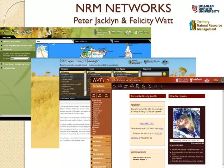
NRM NETWORKS Peter Jacklyn & Felicity Watt. NAFI: The North Australian Fire Information Website. Overview. easily monitor bushfire activity and plan fire management activities also used by researchers, NRM consultants...

E N D
Overview • easily monitor bushfire activity and plan fire management activities • also used by researchers, NRM consultants... • developed primarily for fire managers, who continue to drive future directions of the site. • In the future the site should receive a major proportion of its funding from the Federal Government, given the site’s role in the planned GHG and Fire abatement projects across north Australia.
Data • Hotspot data sourced from WA Landgate and Geoscience Australia • Fire Scar data mapped by Bushfires NT (NT and WA) and Cape York Sustainable Futures (Qld) • Weather data from the Bureau of Meteorology • Background maps from Geoscience Australia • Increasing use of user-generated data
How the site is used Planning & implementing early season burns
How the site is used Monitoring wildfires
How the site is used Monitoring wildfires
How the site is used Monitoring wildfires
Tools Recent Fire History maps Mono-colour maps show time since last burnt and act as a guide to fuel levels.
Instant PDF reports of fire history for a given area Tools Recent Fire Reports Fire Reports are now available for areas across northern Australia – click on the “Fire Reports” panel on the left.
Tools displaying user data Upload your own data e.g. on firelines from APBs and view them as a private layer on NAFI.
New Site due for launch August 2012 The new NAFI site will be more like Google Maps
New Site due for launch August 2012 kml files Greater use of formats like kml files which will allow users to display NAFI data on other viewers like Google Earth and to display their own data on the NAFI site.
Peter Jacklyn peter.jacklyn@cdu.edu.au Felicity Watt felicity.watt@nt.gov.au