Download
1 / 16
160 likes | 330 Vues
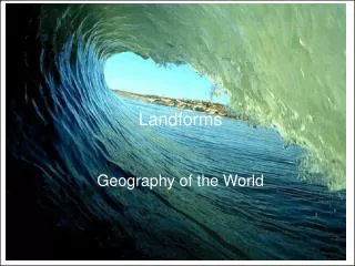
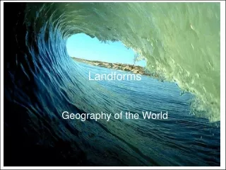
Chapter 1 The World of Geography. Section 1 The Five Themes of Geography. What is Geography?. Geography is the study of the Earth’s surface, the connection between places, and the relationships between people and their environment.

E N D
Chapter 1 The World of Geography Section 1 The Five Themes of Geography
What is Geography? • Geography is the study of the Earth’s surface, the connection between places, and the relationships between people and their environment. • Geographers look at distances between places, but also oceans, plant life, landforms, and people.
Geographer’s Main Two Questions • Good Geographers always ask two questions: • Where are things located? • Why are they there? • To get answers, they use the five themes of Geography. The themes help the geographers to organize information.
The 5 Themes of Geography • Location • Geograpers being to study a place by finding where it is, or its location. • There are two types of location. • Absolute location: exact location on Earth (EX. 39.95°N 75.17°W - Philadelphia) • Determined by position of longitude and latitude lines and measured in degrees. • Longitude Lines: (AKA meridians) series of imaginary lines that run north and south through both North and South Poles • Latitude Lines: (AKA parallels) series of imaginary lines that circle the Earth and are parallel to the Equator • Degrees: a unit of measure used to determine absolute location
The 5 Themes of Geography • Prime Meridian: the longitude line at 0 degrees, runs through Greenwich, England. • Equator: the latitude line that circles the globe at its widest point. Measured at 0 degrees.
The 5 Themes of Geography • Location (Cont.) • Relative Location: location by describing what is near • EX. I live in Newtown Square. It is 13 miles west of Philadelphia. • Place • Studying the physical and human features • Physical features include climate (hot, cold) and land (hilly). • Human features include information like how many people live there, and what kind of work do they do
The 5 Themes of Geography • Human-Environment Interaction • Studies three things • How people affect their environment. • EX. People take out parts of the land to build roads and highways. • Physical characteristics of their surroundings • EX. Turkey receives little rainfall • How their environment affects them • EX. People must build irrigation systems in order to grow food in Turkey • Movement • Movement is important because it helps explain how people, goods, and ideas get from one place to another. • Ex. Immigrants bring their traditional food to a new way of life.
The 5 Themes of Geography • Regions • Geographers use regions to make comparisons between areas. • Regions have a unifying characteristic such as climate, land, population, or history. • Example: The Mid-Atlantic Region • Plain: a flat piece of land
Chapter 1 The World of Geography Section 2 The Geographer’s Tools
Globes and Maps • Globes • Early maps only showed where people lived and traveled. They often left off information. • As people explored the Earth, maps became more accurate. • The best way to show a map is a globe. • Globe: a round model of the Earth • Map makers can show the shape of an area according to scale on a globe. • Scale: the size or proportion of something on a map as compared to its actual size.
Globes and Maps • Maps • Maps were invented because of two problems with globes. • Tough to transport • Can’t make one big enough to show great detail of a small place. • Flat Maps solve those problems, but create their own. • Distortion: in maps, a misrepresentation of the original shape and size. • An area may look bigger or smaller • Example on Next Slide
Globes and Maps • In order to deal with distortion, we have to look at projections. • Projection: a representation of the Earth’s rounded surface on a flat piece of paper. • 3 of the Best Know Projections • Mercator Projection • Correct shapes, but incorrect distances and sizes
Globes and Maps • Peters Projection • Correct sizes, incorrect shapes • Robinson Projection • Most shapes and sizes correct, most distance accurate
Parts of a Map • Compass Rose: a map feature that usually shows the four cardinal directions • Cardinal Direction: one of the four compass points: north, south, east, and west • Intermediate Direction: one of the four secondary compass points: northeast, northwest, southeast, southwest • Scale: the size or proportion of something on a map as compared to its actual size. • Key: the section of a map that explains the map symbols • Title: The name (usually at the top) of a map that identifies what the map is picturing. • Grid: Lines drawn on a map to help identify specific places on a map