Download
1 / 24
240 likes | 252 Vues
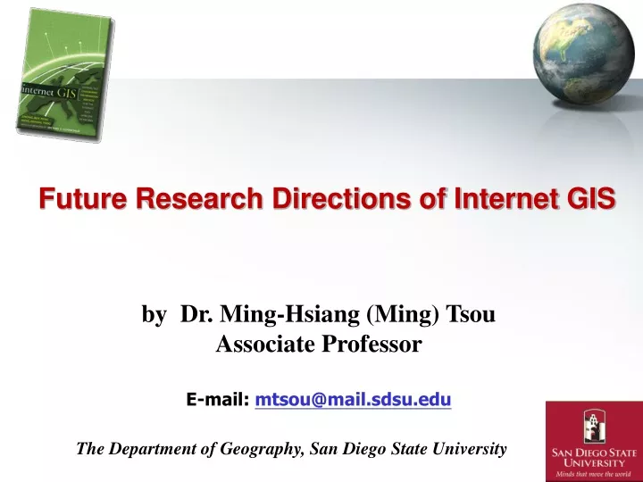
Future Research Directions of Internet GIS. by Dr. Ming-Hsiang (Ming) Tsou Associate Professor E-mail: mtsou@mail.sdsu.edu. The Department of Geography, San Diego State University.

E N D
Future Research Directions of Internet GIS by Dr. Ming-Hsiang (Ming) Tsou Associate Professor E-mail: mtsou@mail.sdsu.edu The Department of Geography, San Diego State University
Ubiquitous for everyone and everywhere -- Mobile GIS, Location-Based Services, and wireless communication. (Smart shopping carts, vehicle navigation systems, cellular phones, parking services, traffic controls… etc.) High Performance Computing – Grid computing: (advanced spatial analysis functions and capability): modeling and simulation. Global warming, Wildfires, earthquake, population growth, urban planning, public health and epidemiology, etc. DIY-GIS (Do-it-yourself GIS) Volunteered Geographic Information (VGI): Geodata created by citizens rather than professionals (Goodchild, 2007 in GeoJournal: Citizens as Sensors). Bottom-Up approach for GIS data and mapping services rather than top-down approach. (Google Map Mashup/API, OpenStreetMap, Flickr, Wikimapia). The Future Development of Internet GIServices
Ubiquitous GIS with wireless Mobile GIS • Mobile GIS refers to an integrated software/hardware framework for the access of geospatial data and services through mobile devices via wireline or wireless networks (Tsou, 2004). (Notebooks, PDA, Tablet PC, Pocket PC, etc.)
Wireless Mobile GIS IntegrationPrototype Testing (2003 at MTRP) (Notebook Web Server (IIS) + ArcPAD + Blue tooth GPS + Wi-Fi )
New Open Software Development Environment for Mobile GIS 2003: Cellular phone: Java MIDlet, Brew ) Mobile Information Device Profile (MIDP) 2008: Google's G1 Phone O.S: Android platform Open operating system. Free development framework (Java-based) Others: iPhone, Blackberry… 2004/2005 : Pocket PC: VBA, .NET Customized ArcPAD
High Performance Computing for GIServices: Grid Computing Proposed with the idea of electric power grid. Aims at integrating large-scale (global scale) computing resources; Plug & Play Grid-enabled Internet GIServices
Geospatial Cyberinfrastructure refers to a combination of geospatial computing resources, data and knowledge to facilitate the development of GIScience research and geospatial technologies. (Zhang and Tsou, In Press, International Journal of Geographical Information Science, 2009)
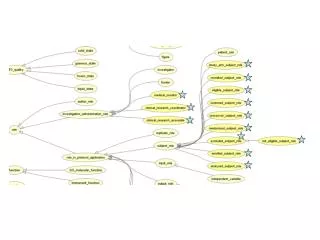
AGrid-enabled Internet GIService framework (Tong Zhang, 2007, Ph.D. Dissertation, San Diego State University) Four-Tiers Framework Slide12
Performance Experiments Comparison of computation time with the TeraGrid - PBS versus Globus (U.S. data)
Performance Experiments • Comparison of job queuing time
“Scalable Virtual Organization” for GIScience Research (sharing data and services) GIScience Research Geography Dept. Intranet GIS Node: Doug GIS Node Local Network GIS Node: Ming GIS Node GIS Node GIS Node: Tina GIS Node GIS Node: Mike GIS Node: Eva GIS Node: SDSU GIS Node: UCSB GIS Node: FGDC GIS Node: SUNY
What is a Virtual Organization? • Virtual Organization (a fundamental to modern computing): “enable disparate groups of organizations and/or individuals to share resources in a controlled fashion, so that members may collaborate to achieve a shared goal. ( Foster et al., The Anatomy of the Grid, Enabling Scalable Virtual Organizations, Intl. J. Supercomputer Applications, 2001, p. 5.). • VOs have the potential to change dramatically the way we use computers to solve problems. (similar to the web for exchanging information).
New Geospatial Web Portal for Geosimulation (population growth) Dasymetric Portlet (Cellular Automata and Multi-Agent System) Mockup Interface
Geosimulation 2D and 3D visualization (Easy to use for high school students and teachers)
High performance grid computing: visualization, and storage resources The Future of Geospatial Cyberinfrastructure (Cloud Computing) Map Services Data Services Analysis Services High speed Internet Visual Interactive Web Portal Collaboration
DIY (Do-it-yourself) GIServices(Volunteered Geographic Information - VGI -- Neogeography) The Internet and Google Search Engines encourage us to do everything by ourselves. (Save Money! and feel good!)
DIY-GIS: Google, Yahoo APIs and Mashups http://www.politicalbase.com/money/search/
DIY: Authority and Quality Control? http://Wikimapia.org 8,725,543 places have been described on Nov. 6, 2008 9,700,466 places have been described on March 31, 2009
OpenStreetMap ----- New GIS Data sources (Map Party)
What are the impacts of Volunteered Geographic Information (VGI) ? • Everyone can create GIS data. Data accuracy? How to control the data quality? • Bottom-up solution (OpenStreets) vs. Top-down (USGS National Maps). • Data democracy? (availability) (most developing countries do not have comprehensive GIS layers). • Who owns these “public created” information? (Wikipedia?) (Google Map update?)