Download
1 / 15
150 likes | 238 Vues
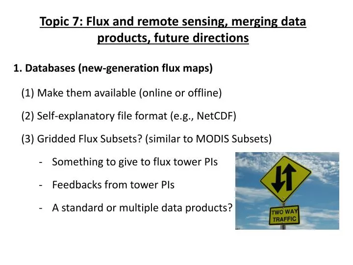
Topic 7: Flux and remote sensing, merging data products, future directions. 1. Databases (new-generation flux maps). Make them available (online or offline) Self-explanatory file format (e.g., NetCDF ) Gridded Flux Subsets ? (similar to MODIS Subsets )

E N D
Topic 7: Flux and remote sensing, merging data products, future directions 1. Databases (new-generation flux maps) • Make them available (online or offline) • Self-explanatory file format (e.g., NetCDF) • Gridded Flux Subsets? (similar to MODIS Subsets) • Something to give to flux tower PIs • Feedbacks from tower PIs • A standard or multiple data products?
2. Future directions • Start to account for disturbance effects • Uncertainty assessment (input data, scaling, parameters, model structure) -> “true” uncertainty bounds • Evaluate ecosystem services (e.g., carbon sequestration, food and wood production, water yield) • Evaluate and improve Earth System Models (ESMs) • Merging data products and intercomparison • Juxtaposition of upscaling methods and gridded flux fields • RCN II? • Resources to facilitate this exercise
Data Management/User Support Deb Agarwal – Berkeley Lab Gilberto Pastorello – Univ. of Alberta
What does data synthesis support infrastructure look like? • Evolves • Archive(s) of raw data • Federated catalog of data locations/inventories • Development of data products • Integrated database • Data analysis tools and support • Rama’s knowledge center
Developing the Knowledge-base • Publications – linked to data/methodology • Documentation of collection and processing methods • Publication of methodology • Visual flow description/assumptions detail • Enabling an external user to understand and repeat • Metadata collection and maintenance • Calibration • Disturbances • Biological information • Descriptions • Development of a living data management system/ecosystem • Ability to drill down from end product all the way to original raw data
Standards • Equipment • Metadata • Data formats • Raw • Processed • Data products • Data sharing formats/methods • Data access rules
Constraints • Science objectives • Budgets • Products • Man power (passionate people) • Level of maturity of the technology/processing/standardization
Where do we go from here? • Footprints? • Synthesis efforts? • Data products? • Development of a data management plan to support? • Fluxdata.org blog available as a discussion portal
FLUXNET and Remote Sensing: Open workshop Berkeley, June 2011 FLUXCOM(P) – Intro for discussion
FLUXCOM – motivation and goals • Structurally different approaches to up-scaling from flux-towers to continent and globe (Xiao et al, Ichii et al, Jung et al., Beer et al., Fisher et al, Papale et al.,….) Common question: How do we make use of the information from FLUXNET at site level and integrate with “global data” (remote sensing, reanalysis)? P
Similar situation as atmC-science years ago • Key differences (“advantage FLUXNET”): • Flux predicted from flux ( crossvalidation possible) • Spatially explicit at potentially high resolution • High-temporal resolution possible (incl. diurnal) Wind fields, Transport modelling IPCC 2007 Atmospheric CO2concentrationnetwork Large-scalebiosphere-atmospherefluxestimates Remote sensingandmeteofields, „Biosphere“ modelling Spatially explicit fluxestimates Bio-Atmfluxnetwork
Questions to be discussed • Who wants to participate to this community effort? • Create predictor variables (locally, globally) • Apply up-scaling algorithm (core of intercomp) • Analysis of intercomparison • come-up with mailing list • What is an appropriate protocol? • Compromise between comparability and “freedom” • Compromise between wishes and feasibility • Addressing uncertainties (obs data, representation, driving data)
Towards a protocol (suggestions) • Output target • Limited by drivers and comp efficiency • Monthly/sub-monthly(?) fluxes (carbon, energy) • 0.5° latlon tiled by IGBP vegetation type • Predictors • Let’s make a list what is already used (must be available globally…) • E.g. Short-wave rad, VPD, Tair, Precip, wind speed • EVI, NDVI, FAPAR, LSWI, soil moisture… • Training/Validation/Application approach • One standardized approach with minimum data set (same predictors, and grids only differ on “how” information is extracted (feature selection, machine learning algorithm) • Factorial approach wrt drivers (x meteo data sets, y FPAR sets) for some approaches • Free approach….