Download
1 / 17
180 likes | 350 Vues
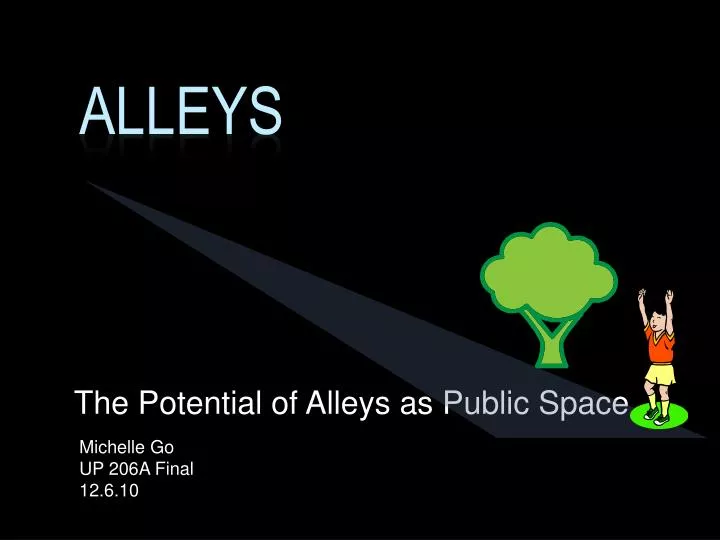
Alleys. The Potential of Alleys as Public Space. Michelle Go UP 206A Final 12.6.10. Policy Question. Alleys may be a valuable resource in land-scarce and park-poor communities in Los Angeles. In which city council districts might alleys best compensate for a lack of open space?.

E N D
Alleys The Potential of Alleys as Public Space Michelle Go UP 206A Final 12.6.10
Policy Question • Alleys may be a valuable resource in land-scarce and park-poor communities in Los Angeles. • In which city council districts might alleys best compensate for a lack of open space?
Alley Methodology • Created a 7.5 ft left and right buffer and joined files to create 15 ft wide alleys
Skills • Layout 1: Alleys in the City of Los Angeles & Layout 2: Parks in the City of Los Angeles • Inset map • Attribute sub-set selection – • Alleys derived by querying LA streets file for Name = ‘Alley’ and exporting data to new layer • City of LA derived by querying LA County Populated Place Areas for Name = ‘Los Angeles’ and exporting data to new layer • Geoprocessing: Clip – Clip Alleys by LA City • Measurement / Analysis of alley miles and sq. mi. and parks sq. mi. • Image • Layout 3: Neighborhoods in Focus • 8 layers • Geocoding two home addresses • Buffer around homes • Images
Skills • Layout 4: Population Density in City Councils • Spatially joined zip code file with city council • Aggregated attribute fields • Council Population = Council Sq Mi / Sum_ZipCodeSqMi * Sum_ZipCodePop • Population density = Council population / Council Sq Mi • Index of population density • Layout 5: Areas Accessible to Alleys and Parks • Buffer , Aggregating attribute fields, Measurement / Analysis • Created 7.5 ft buffers to left and right of alleys. Used Calculate Geometry to calculate area of buffers. Calculated total alley area by adding left and right buffer areas. • Created ½ mi buffer around alleys and parks • Clip – clipped park buffer to LA City
Skills • Layout 6: Percent of District Area that is Alleys and Parks • Spatially joined Council with Alley layer, and Council with Parks layer • Calculated area of parks and area of alleys • Aggregated attribute fields: • PctPark = ParkSqMi / Council Sq Mi • PctAlley = AlleySqMi / Council Sq Mi • Index of PctPark and Pct Alley • Layout 7: Alleys and Parks per 1000 Residents • Spatially joined Council with Alley layer, and Council with Parks layer • Aggregate Attribute Fields • Alley Acre per 1000 residents = Sum Alley Acre / Council Population *1000 • Park Acre per 1000 residents = Sum Park Acre / Council Population *1000 • Index of Alley Acre per 1000 residents and Park Acre per 1000 residents
Skills • Layout 8: Which districts should improve their alleys? • Hotspot Analysis • Model – Raster and Reclassify models (shown in slide 17) • Additional skills • Metadata (shown in slide 16)