Download
1 / 24
240 likes | 352 Vues
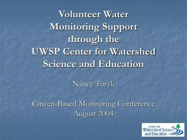
Volunteer Water Monitoring Support through the UWSP Center for Watershed Science and Education. Nancy Turyk Citizen-Based Monitoring Conference August 2004. Agencies. Decision Makers. Researchers. Citizen Based Water Monitoring Programs at UWSP. Groundwater Lakes Rivers/Watersheds.

E N D
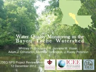
Volunteer Water Monitoring Support through the UWSP Center for Watershed Science and Education Nancy Turyk Citizen-Based Monitoring Conference August 2004
Agencies Decision Makers Researchers
Citizen Based Water Monitoring Programs at UWSP • Groundwater • Lakes • Rivers/Watersheds
Wisconsin Groundwater Facts • 70% of WI residents rely on groundwater. • Over 800,000 private wells in WI. • Typical private wells yield water a few years to a few decades old. • Municipal wells are required to have water tests, individual well testing is optional.
Groundwater Monitoring • Drinking water analyses • Basic package includes nitrate, pH, bacteria, hardness, alkalinity, chloride • Metals package • Pesticides
Groundwater Monitoring Options • Individual resident samples • Individuals submit samples • Interpretation guide provided with results • Assistance over telephone available
Groundwater Monitoring Options • Community drinking water programs • Provides a community/regional view of groundwater • Coordinated between local representative, WEAL Lab, and UWEX Groundwater Educator • Includes a community groundwater education program to better understand the analytical results
Community Drinking Water Programs • County, Township, Watershed, Lake Assoc. • Benefits • Determine safety of drinking water supply and learn about treatment methods • Increased understanding of groundwater and the connection to the landscape • Better indicator of community’s groundwater quality • People are informed on ways to protect water resources
Lake Monitoring • Determine current conditions and long-term trends • Individual residents/lake associations • As partners with CWSE in conjunction with lake assessments
Lake Monitoring – Overturn Program • Samples are collected when the lake is “mixed” (Spring and Fall Overturn) • Individuals collect samples from deep hole of lake • Samples are prepared according to instructions and shipped on ice to the lab • Samples are analyzed in the lab for nutrients, minerals, contaminants • Data are stored in a database and graphed twice/year
River/Watershed Monitoring • Monitoring rivers is MUCH trickier! • Moving water • Varying quantities of water • Water quality changes over a given storm • Affected by a variety of adjacent land uses • More rules/quality control/ quality assurance • Need to know the amount of water • Need to know the amount of precipitation • Sample collection is relatively easy – sampling design is not
River/Watershed Monitoring • CWSE monitoring builds on WAV monitoring • Lab data can help provide answers to observations made with WAV monitoring • Analyses include more than what could be measured with a field kit • Lab data are more accurate because of the methods of analysis and the quality control • CWSE can provide assistance with sampling design/site selection
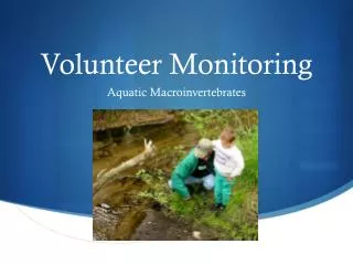
River/Watershed Monitoring • Used to Assess • Current conditions • Long-term trends • Affects of particular land use activities • Who collects the samples? • Individuals/river groups • Agency staff
River Monitoring Program • Baseflow monitoring is recommended for measuring long-term trends • Rivers are at low flow so water quality can be easily compared over a long period of time • Standard package include suspended sediment, nutrients, and chloride • Additional analyses may include metals (urban) or pesticides (rural)
Quality Control/Assurance • Site Identification/documentation • Group training • Sample acquisition and handling • Documented methods • Data management
Sample Sites • Selection • Easy access • Identifiable • Well defined channel • Record location • Photograph • Maps • Physical and legal description “Site 16 Hartman Creek. Rural Road about ½ mile NW of intersection of Rural Rd and Whispering Pines Rd. Sample above culvert. Town of Dayton” T21N R11E Sec 5 (SW ¼ of NW ¼ of Sec 5)
Field Notes • Flow regime • Runoff (precipitation/snowmelt) • Baseflow • Ice on the river? • Dry for a month? • Staff gage and/or flow measurements • Measure precipitation
Sampling • Collect samples using • grab method • siphon sampling device • Samples collected in acid washed containers
Sampling • Sampling equipment rinsed with distilled water and triple rinsed with river water • Samples filtered and/or acidified as required for analysis • Sample bottles marked with proper site identification • Samples transported on ice to the lab
Flow Measurements • All individuals trained in the field • Staff gages • Flow meters • Level loggers