Download
1 / 20
200 likes | 304 Vues
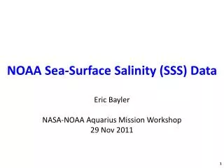
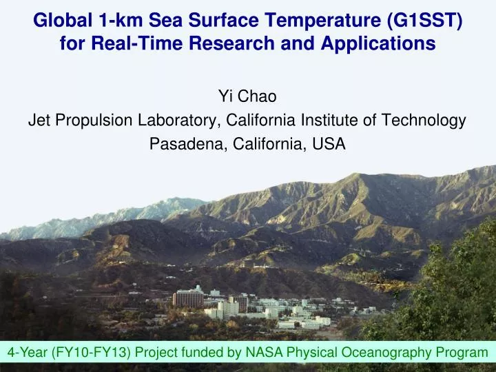
Global 1-km Sea Surface Temperature (G1SST) for Real-Time Research and Applications. Yi Chao Jet Propulsion Laboratory, California Institute of Technology Pasadena, California, USA. 4-Year (FY10-FY13) Project funded by NASA Physical Oceanography Program. Global 1-km SST (G1SST) for:.

E N D
Global 1-km Sea Surface Temperature (G1SST)for Real-Time Research and Applications Yi Chao Jet Propulsion Laboratory, California Institute of Technology Pasadena, California, USA 4-Year (FY10-FY13) Project funded by NASA Physical Oceanography Program
Global 1-km SST (G1SST) for: • Real-time applications (< 24 hours) • Regional and coastal users (1-km, comparable to model resolution & observational data sets such as coastal radar, glider etc) • Less sophisticated users with limited resources/bandwidth to produce their own GHRSST SST at 1-km resolution over their region of interests
Real-time coastal forecasting with a 1-km model: Data assimilation & model validation Chao, Y., Z. Li, J. D. Farrara, and P. Huang, 2009: Blended sea surface temperatures from multiple satellites and in-situ observations for coastal oceans. J. Atmos. Oceanic Technology, 10.1175/2009JTECHO592.1. • Why global? • Request for other regions • If we can do for the California coast, we can do the global ocean
A few notes from this morning’s discussion: I hear both sides of the story • Who are the targeted users? What are the processes of interests? (e.g., modelers for data assimilation, feature tracking, real-time synoptic regional/coastal vs CDR low-frequency large-scale) • Recommendations: Data flag (dynamic) to indicate input data sets (1-, 5-, 25-km); Estimated errors • Let “Goldilocks” to pick the right product; no single product meets everyone’s needs (one-page summary should help!)
Two sides of the story: not enough 1-km data; ~50% of the world ocean has 1-km data on the daily basis 25-km 1-km 5-km 1-km product & including a data flag
Input Data Sets: Polar-Orbiting Infrared (1-km) AVHRR AATSR (not shown)
In Situ SST Measurements Ships, moorings, surface drifters, profiling floats
How to combine multi-satellite and in situ SST daily to meet users’ needs? • Each pixel is measured multiple times by the same or different sensors • To use all data that provide independent information • Each pixel is measured by sensors with different resolutions • To combine data that provide information on different scales (e.g., 25-km MW, 5-km Geostationary, 1-km IR) • Different satellite and sensors have different errors including instrument error or representation error • To weight data differently according to their errors • The spatial interpolation/extrapolation cannot be uniform • To specify spatial varying de-correlation scales (e.g., open vs coastal ocean, along-shore vs cross-shore)
Multi-Scale 2DAVR Algorithm L: 25-km; M: 5-km; H: 1-km i: L, M, H S: input data sets
G1SST: version 1 in Sept 2008 http://ourocean.jpl.nasa.gov/SST
G1SST: version 2 in May 2010 http://ourocean.jpl.nasa.gov/SST Data-Void (24-hour period) Masked
Validation: 20% In Situ SST Data reserved as Independent Data Points: 3856 Bias = -0.06 RMS = 0.59
G1SST Data Distribution http://ourocean.jpl.nasa.gov/SST CF-Compliant netCDF OPeNDAP/THREDDS G1SST data are also available in netCDF format from GHRSST GDAC @ PO.DAAC
G1SST for Applications: Congo River Outflow Survey by Chervon Congo River
Future Work for G1SST (FY11-FY13) • G1SST version 3 release projected in late 2011 • Systematic bias correction (-0.1o) • Data flag for input data used in blending (e.g., 25-km, 5-km, 1-km) • Estimated errors (propagating errors from L2P to L4) • G1SST version 4 and beyond • Diurnal warming correction (e.g., KPP mixed layer model) • More input data sets: AVHRR (HRPT) • Include all data errors and co-variances • Improved spatial-varying error co-variances • Retrospective analysis (before Sept. 2008) – Computational cost • G1SST production is 2x faster than real-time on 16-processor cluster ($10K); reprocessing takes $5K*(data-year/time-year), e.g., $5K*(10 data-year/0.5 time-year) = $100K
Global 1-km Sea Surface Temperature (G1SST)for Real-Time Research and Applications Questions? Yi.Chao@jpl.nasa.gov Thanks to The G1SST Team: Zhijin Li, Peggy Li, Benyang Tang, Quoc Vu Jet Propulsion Laboratory, California Institute of Technology Pasadena, California, USA 4-Year (FY10-FY13) Project funded by NASA Physical Oceanography Program