Download
1 / 14
140 likes | 220 Vues
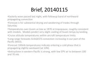
Brief, 20140115. Easterly wave disturbance passed last night, with leftover shear zone propagating northward this AM, leading to .5 inches of rain in last 24 hours, as well as gusty winds (over 30 knots). Forecast is for substantial drying and weakening of trades through Saturday.

E N D
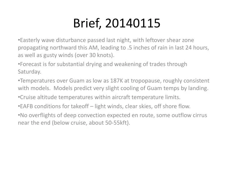
Brief, 20140115 Easterly wave disturbance passed last night, with leftover shear zone propagating northward this AM, leading to .5 inches of rain in last 24 hours, as well as gusty winds (over 30 knots). Forecast is for substantial drying and weakening of trades through Saturday. Temperatures over Guam as low as 187K at tropopause, roughly consistent with models. Models predict very slight cooling of Guam temps by landing. Cruise altitude temperatures within aircraft temperature limits. EAFB conditions for takeoff – light winds, clear skies, off shore flow. No overflights of deep convection expected en route, some outflow cirrus near the end (below cruise, about 50-55kft).
Current sounding (last night – 10 PM) shows minimum T at 187K (53kft) over Guam. Note moist to 600mb only – so last night’s disturbance was not really deep.
Wave passage apparent, with a period of strong winds (25-30 knots)
Current satellite image: Disturbance (“easterly wave”) is apparent to the west of Guam. A northward propagating band of convection has affected us this AM.
Current situation (left). Line of showers following major disturbance last night. Strong anticyclone, leading to strong trades. Showers “bring down” winds from aloft leading to 30 plus gusts this morning. Takeoff time (10-noon tomorrow -- rt). Propagating storm system in the midlatitudes pushes anticyclone eastward, weakening trades. Expect minimal to no showers, weaker winds
View at 10 kft. Above (about now) shows disturbance just past us to the west, changing to very dry conditions by takeoff time
Landing time: Trades ahead of shear line near 20N are relatively weak. Landing winds 10-15 knots about 80 degrees.Some light showers possible during the day but nothing to worry about.
Sunday evening a shear line approaches. Longer range models indicate it will not pass, but winds will increase, as will the likelihood of showers. Early next week will not be as benign as landing time Friday, but still flyable.
EAFB Wx Offshore flow situation, light winds (NE) about 10 knots, clear skies expected
Current situation (approximate min temp). Guam shows about 188K, radiosonde says 187K. Coldest temps to the east of Guam. Minimum temps at 55kft or lower (below cruise).
Conditions at landing (minimum temperature). Temps just slightly colder over Guam than today. We will have the 10 PM sounding prior to landing.
Hard copies of en route temperature curtains and winds. Temperature curtain along the flight path.
Mid flight – do not expect any deep convection along the flight track. Clouds near start are ~40kft. At the end, have cirrus outflow from ITCZ convection.