Download
1 / 6
60 likes | 156 Vues
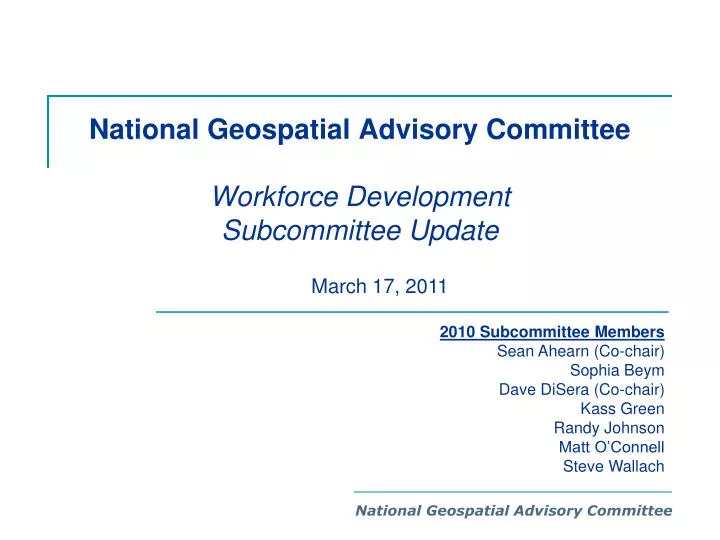
National Geospatial Advisory Committee Workforce Development Subcommittee Update. March 17, 2011. 2010 Subcommittee Members Sean Ahearn (Co-chair) Sophia Beym Dave DiSera (Co-chair) Kass Green Randy Johnson Matt O’Connell Steve Wallach. National Geospatial Advisory Committee.

E N D
National Geospatial Advisory Committee Workforce Development Subcommittee Update • March 17, 2011 2010 Subcommittee Members Sean Ahearn (Co-chair) Sophia Beym Dave DiSera (Co-chair) Kass Green Randy Johnson Matt O’Connell Steve Wallach National Geospatial Advisory Committee
Sub-committee Purpose “Provide recommendations on approaches to develop intergovernmental and public-private strategies to facilitate the development, training, and retention of a highly skilled workforce to meet the expanding geospatial needs of public and private-sector organizations.”
2010 Sub-committee Activities • Research and assess geospatial workforce-related studies and activities completed, currently planned or underway, including the following: • Research current and future needs • Research to assess what already exists • Identify best practices • Define gap between “need” and existing/projected workforce • Develop initial recommendations on how FGDC can engage in and support geospatial workforce development activities Sub-committeefocus for 2010
Subcommittee Suggested Recommendations for 2011 • Review the existing “externally” focused Federal GIS Standard Occupational Classification (SOC) codes and compare to “internally” focused Federal SOC codes • Work with geospatial industry associations and educational institutions to identify and document public-private geospatial workforce development best practices
Subcommittee Suggested Recommendations for 2011 • Develop recommendations on how FGDC can engage in and support geospatial workforce development activities, including the following: • Investigate collaboration opportunities with the Department of Labor on geospatial workforce development to document gaps between needs and projected workforce, estimating the workforce demand, and methods for closing the gaps • Investigate opportunities to build on the efforts from the NRC Study on the Future US Workforce for Geospatial Intelligence, or other Federal initiatives
Workforce Development Subcommittee • Questions? National Geospatial Advisory Committee