Download
1 / 27
280 likes | 399 Vues
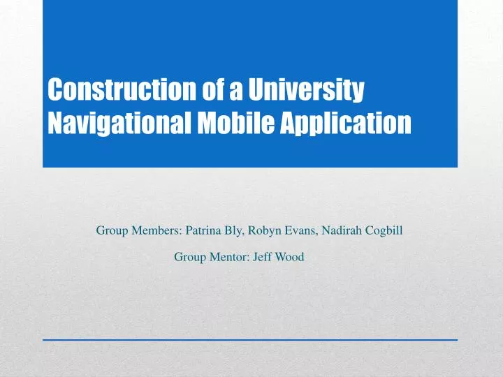
Construction of a University Navigational Mobile Application. Group Members: Patrina Bly, Robyn Evans, Nadirah Cogbill Group Mentor: Jeff Wood.

E N D
Construction of a University Navigational Mobile Application Group Members: Patrina Bly, Robyn Evans, Nadirah Cogbill Group Mentor: Jeff Wood
The 2011–2012 Mobile Database Team created a campus navigational mobile web application for the campus of Elizabeth City State University. The application provides the students and visitors with an up-to-date campus map that has the capabilities to generate walking directions. To accomplish this task, the team first gathered historical data and specifications for the forty-six buildings located on the campus. This information was then stored into a database using MySQL and PHP that was accessed by the application. Next, the team updated the map using Google Map Maker. The new map provides users with an aerial view of the campus displaying the buildings, roads, and parking lots. The final step was the creation of the actual application. The application was created using a jQuery template and HTML5. The application obtains the user’s latitude and longitude coordinates from their mobile device before directing them to the map via Google Maps. From here, using the stored coordinates, the application is able to generate walking directions to the user’s building of choice. Users also have access to the information recorded in the created database. Abstract
ID: An auto-generated field used as the “key” field Full Name: The official name of the building Abbreviated Name: The unofficial name commonly used by students, faculty, and staff Identifier: The group of letters is used by the Registrar’s office for class schedules Latitude: The latitude of the building Longitude: The longitude of the building Year Built: The year the original building was built Description: What is located in the building and the building attributes such as AC, laundry, hours, etc. Departments/Programs: Departments and programs located within the building Facts: General information about the building and its history Database Fields
Key Field • Auto-generated ID Field
Letter abbreviations • Appear on class schedules Identifier Field
Google Maps Lab “Lat/Lng Marker” • Interact with Google Maps Services Latitude/Longitude Field
Year Built, Full Name, Descriptions, Departments/Programs, Facts • Student Handbook • Director of Design and Construction • Facilities Data Management System • University of North Carolina Data Additions Validations Edits (DAVE) Data Sources
phpMyAdmin • MySQL • Adobe Dreamweaver Database Construction
Google Maps • Google Map Maker The Campus Map
Add New • Draw a Line • Draw a Shape • Categories Creating Features
Google.com/mapmaker • Click Add New Map Maker
Draw a Shape Map Maker
Select “Boundary” or “Building” Map Maker
Type in a category Map Maker
Draw the shape • Add Attributes Map Maker
What is HTML5 • Benefits/Handicaps • Use within the Application HTML5
What is jQuery? • Benefits jQuery
http://nia.ecsu.edu/mobile/ Results
Repair and complete ECSU Campus • Update campus buildings • Add ECSU Links • CReSIS Data Integration Future Work
UNC Data Additions Validations Edits, https://apps.northcarolina.edu/dave/wayf.php, retrieved from the World Wide Web on November 4, 2011 • Google Maps Help, http://support.google.com/maps/?hl=en, retrieved from the World Wide Web on November 14, 2011 • N. Cogbill, M. Seymore Research and Implementation of Data Submission Technologies in Support of CReSIS Polar and Cyberinfrastructure Research Projects at ECSU, http://nia.ecsu.edu/ur/0910/teams/mmt/mmt0910paper.pdf, retrieved from the World Wide Web on January 3, 2012 • UNC Facilities Inventory & Utilization, http://www.northcarolina.edu/ira/fac_util/, retrieved from the World Wide Web on February 4, 2012 • C. Converse, “Dreamweaver templates: Customizable starter design for multiscreen development | Adobe Developer Connection”, 11 July 2011, http://www.adobe.com/devnet/dreamweaver/articles/dw-template-media-queries.html, retrieved from the World Wide Web on January 4, 2012 References
The database team will like to acknowledge our mentor Jeff Wood for his continuous help and support with this research • We would also like to acknowledge Dr. Linda B. Hayden Acknowledgments