Download
1 / 23
230 likes | 325 Vues
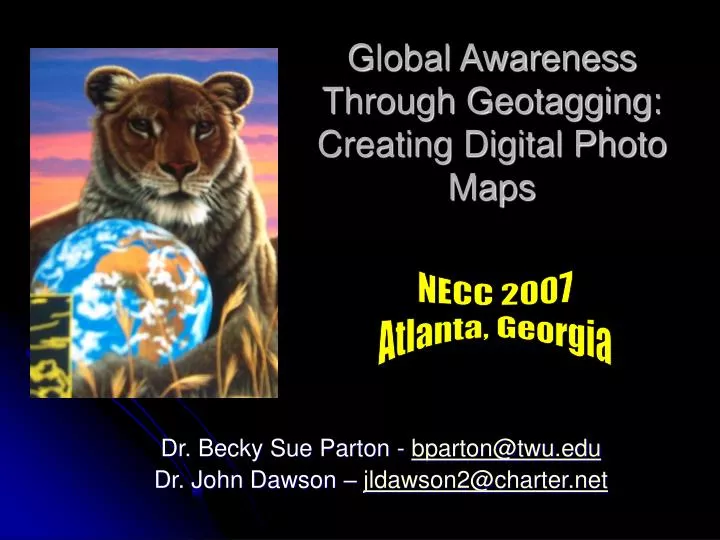
Global Awareness Through Geotagging: Creating Digital Photo Maps. NECC 2007 Atlanta, Georgia. Dr. Becky Sue Parton - bparton@twu.edu Dr. John Dawson – jldawson2@charter.net. BYOL – Session Objectives!. Identify the software necessary. Setup a photo & map account.

E N D
Global Awareness Through Geotagging: Creating Digital Photo Maps NECC 2007 Atlanta, Georgia Dr. Becky Sue Parton - bparton@twu.edu Dr. John Dawson – jldawson2@charter.net
BYOL – Session Objectives! • Identify the software necessary. • Setup a photo & map account. • Upload a photo with accurate geotags. • Create an interactive map. • Export the map for use on a website. • Discuss classroom integration ideas.
Google Earth Integration(Makes Geography Come to Life!) Integrate Google Earth!
Google Earth Integration Start the process early or allow multiple days to complete all the steps! • Open a Flickr account (it’s free but you do need a yahoo id). • Upload your photos.
Google Earth Integration • Tag your photos with location data. The two main formats are: • Geo:long= & Geo:lat= & a “Geotagged” tag • Note: must be in decimal not degree format. • See: http://www.geology.enr.state.nc.us/gis/latlon.html • City, State, Country tags
Alternatively, you can use the “map” feature inside flickr to place your photos at their locations & “auto tag” them. (Select organize then map menu.)
One way to get latitude / longitude readings is to use Microsoft Streets & Trips • You can also use Google Earth itself.
Google Earth Integration • Open a TripperMap account. The basic version is free. www.trippermap.com (The true “google earth” version costs a low fee.) • TripperMap will search Flickr for any photos with location tags. Have patience - it takes anywhere from hours to days to find them. You may manually ask it to search before a regular cycle to speed things along.
Google Earth Integration Then select “get your map”. You will receive javascript. You must copy and paste it into the html code of a web page.
Note: You may also want to screen capture this page (Alt Screen Print); take to Paint and crop out the map & save as a jpg. Then you can have the students use it in a “hand-made” visual. Google Earth Integration
A Power Point Alternative … For Example – here is the cropped image. You could create a hotspot in Power Point and jump to the appropriate slide. To do so, choose action button from auto shapes in the draw menu. You can make the hotspot invisible by setting its fill color to none.
Integration Ideas! • Students bring baby photos. Tag with the place of their birth. Create a class map as a group. • Plan a trip in groups. Find photos of famous places (i.e. the Alamo) for the map. Extend the activity with travel distances, climate, & costs.
Integration Ideas! 3. For a history lesson, download images of all the Presidents & place in their home state. Compute percentages by state. 4. For a science lesson, research the region where particular dinosaurs lived & map. (or any animal’s origins).
Integration Ideas! 5. Research the past locations of the Olympics. Select a representative image from each one & map. Discuss how countries share the responsibility & honor of hosting the games. (or follow the torch route) 6. Find photos of state birds (or flowers) & map to the capitals.
Integration Ideas! 7. If the students have pen pals, or missionaries they support for Christian schools, a photo or avatar could be used to start culture talks. 8. Track natural disasters for a period of time (i.e. places tornadoes touched down for a month) & gather related data + discuss weather.
Integration Ideas! 9. For older students, select a few potential colleges, map with the mascot, discuss differences. 10. Track a band or singer on a concert tour. Scan album covers & map on the cities. 11. Zoom in to a local area & do a street level map of a race for a worthy cause. Tie in exercise talks.
Integration Ideas! 12. For older kids, take a walking trip & let them photograph environmental problem areas (i.e. trash, etc). Take a long/lat reading & then map. 13. Design a jpg image of the word “hello” in languages around the world & map appropriately. 14. For history, map famous battle sites or walks (ex. Revolutionary)
Integration Ideas! 15. Release a set of balloons with instructions for the finder to mail back a postcard indicating where it was found and then map generic balloon images on the spots. 16. Find images from recent movies & place on a map where filming occurred (i.e. Jurassic Park was done in Hawaii). Discuss logistics.
Integration Ideas! 17. Get images of currency around the world & place appropriately; tie in math lessons or the “Where in the world is George” web-site. 18. For older students have them pick 5 items from home & take pictures. Then tell them to see where the item was made. Place the photos in that country (just in the center). Look for trends & discuss job issues.
Integration Ideas! 19. Get images of famous paintings & place them in the country where the artist lived(s). i.e. Kinkade – USA. Use the map as a quiz also. 20. Send several UPS Packages & track their route on the web. Put “package images” for all the stops along the way & discuss the mail system with younger kids.
Integration Ideas! 21. Create a school map of sport events when students travel as a “wall of victory”. 22. For a driver’s ed class, have students get the accident reports for a week for a large city like Dallas. Place car images on the locations. Link to a report on injuries & discuss hazardous areas etc.
Integration Ideas! 23. Students can make drawings of Native Americans, scan them, & put them on an Indian Reservation that exists today. Social studies topics such as the Oregon trail for settlers is another approach. 24. Use a map in combination with a video conferencing experience (i.e. Deaf kids at Tx School for the Deaf & storytellers at Gallaudet).