Download
1 / 32
320 likes | 460 Vues
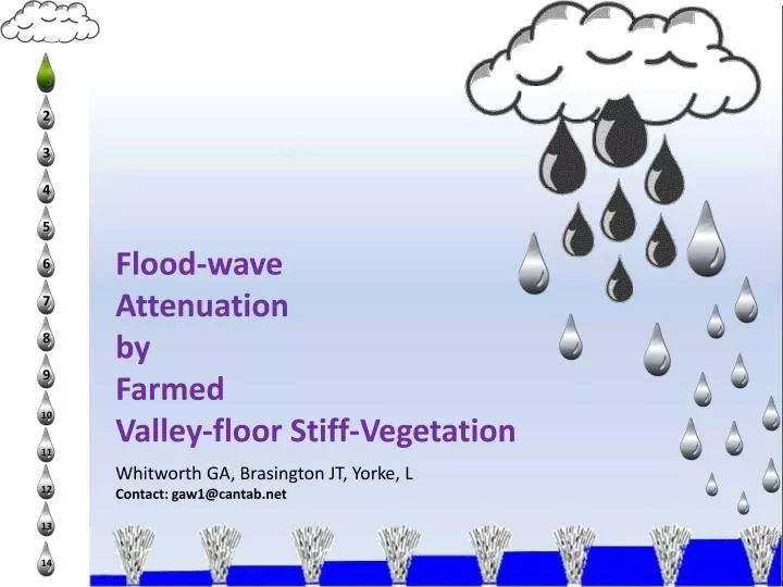
Flood-wave Attenuation by Farmed Valley-floor Stiff-Vegetation Whitworth GA, Brasington JT, Yorke, L Contact: gaw1@cantab.net. Contents. Overview Study Site Flood Defence Background Numerical Model Experimental Farming Software Calibration Attenuation Gain Conclusion. Research Goals.

E N D
Flood-wave Attenuation by FarmedValley-floor Stiff-VegetationWhitworth GA, Brasington JT, Yorke, LContact: gaw1@cantab.net
Contents Overview Study Site Flood Defence Background Numerical Model Experimental Farming Software Calibration Attenuation Gain Conclusion
Research Goals • Sustainable Flood Defence • Low Investment • Low Impact
Study Site River Vyrnwy River Severn
Loss of life More Background
Study Site 100km farmscale (‘Glastir’) streamside buffer-strips R 40km Main River A 100km community-maintained network of watercourses and hedges
Point Cloud Assembly R DTM Points parallel to streamflow B Munlyn-Buttington M C A
Parameters and Elements • Terrain Array • (Munlyn – Buttington) • Floodplain • Main River • Maintained Courses • ‘Glastir’ Courses • Infrastructure • Depth and velocity parameterson a coarser set of flow elements Elevation and roughness parameters on a finer Variable Terrain grid
Flow Boundaries Buttington Channel/Weir Interface Q = 0.05*H ^1.90 • MB Boundary Weir Equation Flume Calibration
Vegetation Networks Resistance by form Streamside Feature Baseline Pasture Terrain grid overlaying Porous Frictional Weirs Pseudo roughness for added flow resistance
Channel Flow – 100 cumecs • Munlyn model 0.05 Buttington Model 0.05 Munlyn to Buttington Channel Calibration • Munlyn • 29Mar2008 Buttington 29Mar2008
Overbank Flow - 400 cumecs 2D output – ‘MB’ Flow Vectors overlaying water surface elevation +13% +15% +23% 0% Stream-nets + intermittent Main-River friction Maintained + Glastir stream-nets Maintained Stream-net Pasture
Attenuation Results Munlyn-Buttngton Sample Points Water-surface longsection over terrain
Conclusions & Outcome • Flood Storage Gain • Low Lateral Impact • Exceedance control • Improved wellbeing October 2000 Loss Peak December 2000 Benign-Peak
Fin Acknowledgements & thanks IGES, Aberystwyth University Richard Williams, Jack Southon, Mark Huband Environment Agency Data Team Alberta University River 2D Team Powysland IDB Board WAG Glastir (www.cymru.gov.uk/glastir) [Thomas et al], Assessment of Floodplain Woodland [Mandlburger et al], Optimisation of Lidar terrain models [Syme WJ], 2D Modelling of Buildings and Fences John Swogger (Catchment backdrop)
Research Climate Issues for a Model Catchment Data Topography Hydrometry Landuse Parameters Porosity Method Software Boundaries Analysis Stakeholders Hardware Results Productivity Outcome
Exceedance Stats FEH • Upstream • 18% total storage • 0.12m x 25km2 • (wind effect) Historic augment and Flood Frequency analysis suggest 2.5% exceedance at Pool Quayof 100cumecs x 16 hrs ~ 6,000,000m3 Say, 50% ~ 3,000,000m3 benign overspill Leaving 50% ~ 3,000,000m3 additional Floodplain storage
3. Field Evidence 18Nov2009 125mm head ~ 200mm headloss (~ 1:10yr event)
Method Issues • Point cloud strategy • Longitudinal arrays • Lateral arrays • Bathymetry • Discretization • Sub-reach no and length
Analysis Issues • Steady State Flow • Dynamic Wave Flow • Experimental Terrain • Form v. Roughness
Results Issues • Attenuation Volume • Attenuation Time • Wet perimeter • Doorstep Elevation • Stage at High Risk Leveee
Outcome Issues • Wellbeing • Ecology • Credibility & Transparency • Error & Uncertainty • Carbon • Visualization
Software Issues • GIS linked assembly • EA standard 2D • FEM • Conserve across domain • Value gradient across cell • FVM • Conserve across cell • Quicker ??
Stakeholder Issues • Government • LLFA • Environment Agenty • Land Drainage Authority • Landowners
Boundary Issues • Inflow • Weir > Flo • Flume • Tributaries • Wet/dry analysis
Porosity Issues • Form • Roughness • Velocity instability • Froude number cap
Landuse Issues • Glastir • Forestry • Farmside • IDB drainage • Infrastructure • Ecology
Topography Issues • Point Cloud Structure • Long feature • Lateral Features • Discretization • Wrack data • Perimeter AP
Hydrometry Issues • Time Series • Stochastic Inflow • Bathymetry
Parameter Issues • River 2D coefficients • Roughess • Elevation • Velocity • Depth • Absorbence • Convergence • Solution Tolerance
Hardware Issues • Single Core • Multi Core • GPU • Multi-thread
Productivity Issues • 1:1 • Resample confidence • Channel analysis • Overbank wave analysis