Download
1 / 34
340 likes | 484 Vues
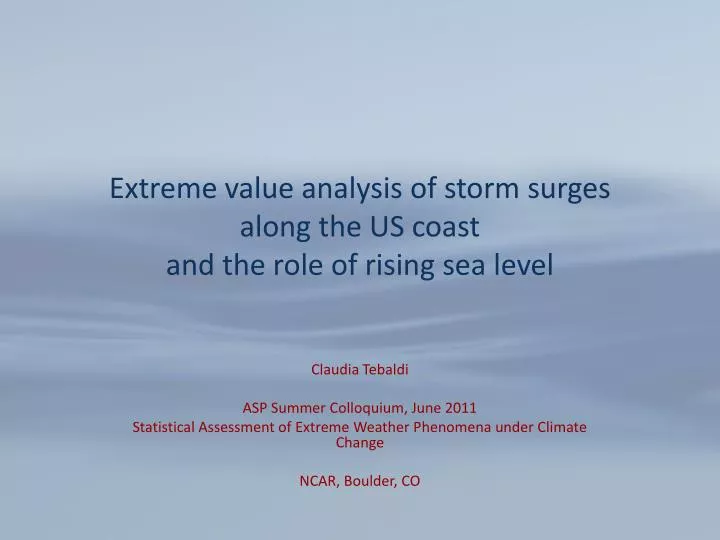
Extreme value analysis of storm surges along the US coast and the role of rising sea level. Claudia Tebaldi ASP Summer Colloquium, June 2011 Statistical Assessment of Extreme Weather Phenomena under Climate Change NCAR, Boulder, CO. Aim of our study.

E N D
Extreme value analysis of storm surges along the US coast and the role of rising sea level Claudia Tebaldi ASP Summer Colloquium, June 2011 Statistical Assessment of Extreme Weather Phenomena under Climate Change NCAR, Boulder, CO
Aim of our study Using gauge measurements from a set of locations along the lower US coasts and only global average temperature projections, • Estimate the magnitude of extreme storm surges in terms of return levels for 10,25,50,100 yr return periods. • Estimate local sea level rise out to 2050. • Combine the two to assess changes in the risk of extreme sea levels from storm surges under sea level rise.
Outline • Extreme value statistics of storm surges along the Atlantic, Gulf and Pacific Coasts. • Future sea level rise by “downscaling” the semi-empirical model proposed by Vermeer and Rahmstorf (PNAS 2009). • Combining the two under the assumptions of independence and no change in extreme storm surge statistics. • Extension to include tidal (and seasonal) component. • Many possible directions for improvements.
Data 55 gauges with almost complete hourly data over the 30 years 1979-2008, and monthly data over 1959-2008. Data at each gauge comes as two parallel time series: actual and predicted values: actual, what was recorded at that hour, that day; predicted, what NOAA anticipated on the basis of tidal patterns. We will work with the actual observed but also by recombining theresiduals, (actual-predicted), representing the weather effect on water level, with the predicted, through a bootstrap procedure.
Tide gauge From NOAA website on tides and currents
Data basics Several components in the observed time series (actual values, the black line): • Long term trend (increasing if sea level is rising, decreasing if it is receding, possibly flat); • Seasonal variations; • Tidal (hourly) variations; • Weather driven disturbances.
Data analysis steps • We work with the observed time series of hourly data (30 years) and a corresponding observed time series of monthly data (50 years). • We use the longer time series to detrend the shorter time series by estimating and subtracting a linear fit (and saving its linear coefficient).
Extreme Value Analysis • We compute daily maxima of hourly data after detrending. • We separate winter from summer months conducting two analyses separately (Nov-Apr vs. May-Oct). • We perform a “peak-over-threshold” analysis choosing, after trial and error, the 99th percentile of the daily maxima distribution as the threshold, fitting the Generalized Pareto Distribution to the values exceeding the threshold after declustering*. * This turns out to be in almost all cases redundant since the spell length of these exceedances rarely exceedes a handful of hours, so the daily maxima are rarely over consecutive days because of a single storm straddling multiple days.
Results from GPD analysis Winter 50-yr return levels Summer 50-yr return levels Note: these are values with reference to MHW
Results from GPD analysis Winter 100-yr return levels Summer 100-yr return levels Note: these are values with reference to MHW
Sea Level Rise Component • Vermeer & Rahmstorf (2009): A semi-empirical model estimating the relationship between global average temperature change, T-T0, the fast component of temperature change, dT/dt,and the rate of global sea level rise, dH/dt,as in
In the VR09 equation a,b and T0 are estimated from past observations. Then, a simple model (MAGICC) can be run to produce current and future global average temperatureprojections exploring uncertainties related to model climate sensitivity, carbon cycle, scenarios. We use 342 simulations of global average temperature change (19 model configurations reproducing CMIP3 GCMs, 3 strengths of carbon cycle response and 6 SRES scenarios):
For each of the MAGICC trajectories of global average temperature change we determine a corresponding trajectory for the rate of sea level rise during the 1959-2008 period, whose average rate, G, we can compare with the local rates, Hk’s, of SLR at the gauge locations. We can then compute the local component of SLR at gauge k as Lksuch that by assuming an additive model, the local sea level rise (Hk) is the result of offsetting the global signal G by the local Lk as in Hk=G+Lk G (3.4mm/yr)
We are going to use the gauge specific Lk’s to revise future global SLR projections upward or downward
Now we have all that we need to talk about changes in return levels/return period in the future.
We can estimate return level curves, and we can incorporate sea level rise by 2030 or 2050 as an offset to get a first order estimate of how return levels would change with SLR
What we saw in the observations was just one particular combination of weather and tides. What if a different combination had taken place? We may want to think about constructing new series of synthetic hourly values by recombining predicted with residuals (actual--‐predicted) from observations.
Bootstrapping away… • What we saw in the observations was just one particular combination of weather and tides • What if a different combination had taken place? • We can construct new series of synthetic hourly values by recombining predicted with residuals (actual-predicted from observations). Remember that green line and the red line?
Bootstrap procedure: • We compute a time series of residuals, as actual minus predicted values; • we then choose randomly a point in the series that we use as our initial time, say t0; • we "wrap-around" the time series of residuals so that it now starts at that point in time and ends at t0 - 1; • we sum this "shifted" time series of residuals (shifted green line) to the original series of predicted values (red line), forming a synthetic series of actual values (synthetic black line); • we apply the extreme value analysis to this new series (compute daily maxima, compute 99th percentile threshold, perform POT fitting).
What does one (or six) of the return level curve/bootstrap look like?
What should we confirm or disproof in order to assess the validity of our bootstrap?
Over all gauges and by season, do those red dots fall randomly within the bootstrapped pdfs? • Compute empirical CDF at red mark • Do the 55 empirical quantiles appear as a sample from a Uniform distribution? • Preliminary results seem to suggest so, at least in terms of the produced R2…less convincingly so in terms of the coefficient beta (*)
What does it look like if we change our analysis from observed surges to – for example – the median results of the bootstrapped surges, or the 95% bootstrap envelope?
Basic assumptions and shortcoming of the analysis this far • 30 year of data may be a little short for 100 yr events. • Assuming that storm intensity won’t change may be too optimistic. • Sea level rise projections assume a constant additive offset of the local rates with respect to the global rates • Vermeer and Rahmstorf 2009 assume the same relative importance going forward of the ice melting and thermal expansion components. • For locations on the Atlantic coast changes in the MOC (projected by models to slow down) has been shown to be anticorrelated to sea level rise. VR09 does not capture that. Bromirski et al. 2011 recently argued similar importance of currents for West coast.
Open questions/improvements • Alternative representation of local sea level rise, including ocean circulation changes where relevant (esp., along the Atlantic coast). • Data fusion of a larger network of gauges with more missing data and/or longer daily or monthly record; satellite record available for short time period assessing slr at high resolution; model results representing possible changes in future extremes’ statistics. • Spatial interpolation of extremes at non observed locations, taking into account coastal morphology and peculiar characteristics like estuary regions.
Finally, harking back to Philippe’s talk on Tuesday, what about modeling the joint behavior of the extremes among predicted (tides) and residuals (weather superimposed storms)? To be continued…