Download
1 / 47
540 likes | 739 Vues
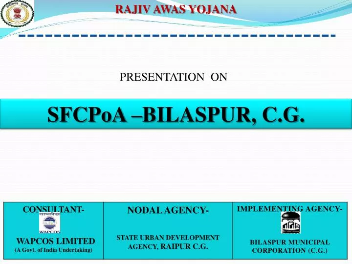
RAJIV AWAS YOJANA. PRESENTATION ON. SFCPoA –BILASPUR, C.G. Contents. Introduction to Bilaspur City SFCPoA Fact Sheet Approach & Methodolgy of SFCPoA Socio-Economic Survey. GIS Mapping Data Analysis. Housing . Population Projection. Funding. Introduction to Bilaspur.

E N D
RAJIV AWAS YOJANA PRESENTATION ON SFCPoA –BILASPUR, C.G.
Contents • Introduction to Bilaspur City • SFCPoA Fact Sheet • Approach & Methodolgy of SFCPoA • Socio-Economic Survey. • GIS Mapping • Data Analysis. • Housing . • Population Projection. • Funding
Introduction to Bilaspur • Bilaspur city, is the second largest city in the state of Chhattisgarh, spread over an area of 30.24 sqkm with a population of 3,30,106 (2011 Census) ,No of Wards- 66 • The High Court of Chhattisgarh is also located in the city, zonal HQ of S.E.C. Railway, power plants – NTPC, • Planning area (urban aglomaration ) - • includes BMC, 2 ULB, 29 Villages • Total Population of UA /Planning area – 5,07,507 • Total No of Slums – 134 • Total Slum Population – 1,71,301( 34%)
SFCPoA FACT SHEET • SFCPoA HIGHLIGHTS Contd..
Sharing Cost for the Curative & Preventive Strategy (Figures in Crore) Contd..
CURATIVE STRATEGY • Assessment of present status of slums • Slum listing • Slum survey • Data profiling of slum-MIS • Mapping of slums using GIS • Integration of GIS and MIS • Categorization of all slums based on tenability • Prioritization of tenable and untenable slums • Stakeholder Consultations including active Community Engagement • Formulation of slum development options • Detailed analysis of prioritized slums • Formulation of development options
PREVENTIVE STRATEGY • Estimating Urban Poor Housing Shortage & Identifying Supply & Demand Constraints • Framing Future Supply Strategy and Suggest Reforms • Suggesting Reforms to ease identified Supply and Demand Constraints in Urban Poor Housing
SLUM SURVEY: with Community Participation • Discussion made: • Objective of the scheme and the contribution of the beneficiaries • Type of houses to be built and facilities to be provided
DOOR TO DOOR SOCIO-ECONOMIC SURVEY • Allotted unique Household no. • Filling up prescribed format of NBO • Collected livelihood details
GIS – MIS INTEGRATION • MIS Join shape file is to be imported in slum base map. DATA ANALYSIS BY THE GEOGRAPHICAL INFORMATION SYSTEM (GIS) • MIS table is to be joined to the GIS base map with unique field.
TENURE STATUS OF SLUMS SAMPLE COPY OF TEMPORARY PATTA
3X3 MATRIX ANALYSIS • Parameters : • Land tenure Status : Legal status of land ownership. • Housing Conditions • Existing quality of Housing and Infrastructure conditions • Infrastructure Availability Matrix Analysis Code Matrix Analysis Code 312 311
HOUSING PATTERN • Housing Pattern: It is based on existing housing area, residential density and F.A.R • Possible Density Options:
D.U.PLAN OF ASHOK NAGAR SLUM -Pilot DPR CARPET AREA- 25 SQM. AND BUILT-UP AREA.-30SQM.
PROJECTED POPULATION OF URBAN AGGLOMERATION AREA • Projected Population • Year 2021 -590943 • Year 2031- 674379 • Decadal growth rate for the period 2001 to 2011: • Urban population-18.5 % • Rural population – 39.39 %
ESTIMATED SLUM POPULATION OF URBAN AGGLOMERATION AREA (PERSPECTIVE 20 YEARS) • Projected Population • Year 2021 -209529 • Year 2031-256989 • Decadal growth rate of for the period 2001 to 2011: • Urban population-17% • Rural population – 39.39 % • Note : Decadal growth of rural population is assumed as 30 %
TOTAL HOUSING AND LAND REQUIREMENT FOR CURATIVE AND PREVENTIVE STAGE • Year of Projection –2014-2029 • Maximum Density- 300HH/Ha • Norms adopted: BhumiVikas Niyam,1984..
SHARING OF THE PROJECT COST • Sharing of the Project Cost: • Central Government • 75 percent of the cost of provisions of basic civic and social infrastructural amenities and housing including O&M of assets created under the scheme. • State Government • – 15 percent of the cost of provision of housing and infrastructure and civic amenitiesand O&M assets. • ULB’s Share • - 10 percent of the cost of infrastructure and civic amenities and O&M assets. • Beneficiary Share • - Minimum 10-12 percent of the cost of housing. • (10 percent in the case of GEN/SC/ST/BC/OBC/PH and other weaker sections)
IMPLEMENTATION PHASING OF SLUMS & FUNDING REQUIREMENT FOR CURATIVE & PREVENTIVE SATGE
LAND VALUE OF SLUMS • Land values records have been collected from Registrar office, Bilaspur • Categorized into high Medium & low valued land Source-Registrar office, Bilaspur