Download
1 / 20
200 likes | 341 Vues
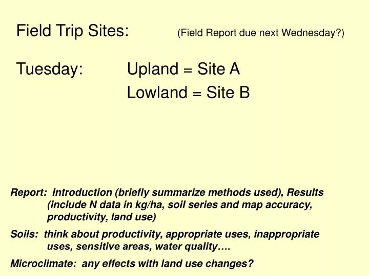
Field Trip Sites: (Field Report due next Wednesday?) Tuesday: Upland = Site A Lowland = Site B. Report: Introduction (briefly summarize methods used), Results (include N data in kg/ha, soil series and map accuracy, productivity, land use)

E N D
Field Trip Sites: (Field Report due next Wednesday?) Tuesday: Upland = Site A Lowland = Site B Report: Introduction (briefly summarize methods used), Results (include N data in kg/ha, soil series and map accuracy, productivity, land use) Soils: think about productivity, appropriate uses, inappropriate uses, sensitive areas, water quality…. Microclimate: any effects with land use changes?
A B
Site B: Lowland area downslope
54.5 mm Site: Lowland Site: Upland
A B
Ragnar Indianola Kitsap A soil association common in the Puget Sound area showing soil type relative to different glacial deposits
Bulk Density Calculations: Bulk Density = dry soil mass/volume Mineral Soil: core volume of 2 rings = 137.4 cm3 (πr2 h=vol) Organic horizons: average depth of 4 measurments x 18 cm x 11.5 cm (area of book) = volume bulk density = dry weight / volume
Chemical analysis: Total N using a CHN analyzer and dissolved ammonium and nitrate in solution using an Autoanalyzer
Chemical Analyses: Concentration of Total N in Soil
Throughfall Data: Site A (DF): 42.6 mm Site B (RA): 54.5 mm
Collectors installed Apr 6 Samples collected May 4 Chemical Analyses: PPT: NH4 = .01 mg L-1 NO3 = .04 mg L-1 Solution Ammonium and Nitrate
MONROE, WASHINGTON (455525) Period of Record Monthly Climate Summary Period of Record : 2/1/1929 to 12/31/2007 Percent of possible observations for period of record.Max. Temp.: 97.6% Min. Temp.: 97.5% Precipitation: 97.7% Snowfall: 97.4% Snow Depth: 96.1% Check Station Metadata or Metadata graphics for more detail about data completeness. Western Regional Climate Center, http://www.wrcc.dri.edu/summary/climsmwa.html
Soils and Microclimate Report ~ 2 pages Include: Introduction with brief review of methods Paragraph about soils found on site vs. soils map Calculate TOTAL SOIL N Content for the 2 soils of your lab day Be sure to briefly show your calculations! Paragraph on productivity of the 2 soils (be sure to consider the N content as well as other factors) (You will use some other N data later in the water module)