Download
1 / 21
210 likes | 348 Vues
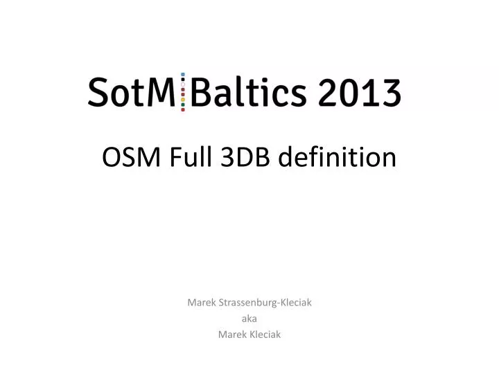
OSM Full 3DB definition. Marek Strassenburg-Kleciak aka Marek Kleciak. Simple 3D buildings (S3DB). Definition: http://wiki.openstreetmap.org/wiki/Simple_3D_buildings Generalization approach : Building parts Heights for building parts Simple roof library

E N D
OSM Full 3DB definition Marek Strassenburg-Kleciak aka Marek Kleciak
Simple 3D buildings (S3DB) Definition: http://wiki.openstreetmap.org/wiki/Simple_3D_buildings Generalizationapproach: • Buildingparts • Heights forbuildingparts • Simple rooflibrary Target: „normal“ mapper. Easilygenerationofdatacoverage
Avaiableresults • + easilytounderstandingandimplementation, smalldatabase • limited modellingpossibilities, noindoormappingcompatibility, • not interestingforproffessional 3D freaksbecauseofdetaillimitation
„Full“ approach: 3D mapsformorecommunities, e.g.: OSM 2D full 3D models Blender Geocoaching
„Full“ approach: moredetails & indoorstructurespossible building=yes room=* (via relation) name=* Roomsasrelationwithname wall=yes height=* width=* Level=* door=yes height=* width=* type=* window=yes height=* width=* type=* wall=indoor height=* width=* Level=*
3D Elements • Wall • Opening • Slab • Tube (Surface generated by a polyline sweeping along a space curve) • Stairs • Column • Slab • Roof • Parametricobjects • Parametricobjectswith time conditions
Basic 3D elements 1. Wall basic tagging • barrier=wall • Polylinedefinedbycoordinates on nelements ( Typical OSM 2D view) • P1 (x1, y1, z1), • P2(x2, y2, z2), • … Pn • Width B, width=* • Height H, height=* • Height overterrain, min height=* • Surfaces: surface=* the same for all sides:- Front surface:front- Back surface:back- Top surface:top- Bottomsurface:bottom Details see: http://wiki.openstreetmap.org/wiki/DE:Wall
Basic 3D elements Width direction 1. Wall basic tagging
Basic 3D elements Different valuesof start- und end parameter • Different widths: • B1, width:start:left =<value> • B2, width:end:left =<value> • Different heights: • H1, height:start=<value> • H2, height:end=<value> 1. Wall basic tagging
Basic 3D elements 1. Wall advanced tagging. Cutting.
Basic 3D elements 1. Wall advanced tagging. Top / down
Basic 3D elements 1. Wall as area barrier=wallarea=yes • Polylinedefinedbyclosedpolylinecoordinateswithnelements (typical OSM 2D view) • P1(x1, y1), P2(x2, y2),…. Pn(xn, yn), • height =* • height_min =* • Material: surface =* or:- Top sidesurface:top- Bottomsidesurface:bottom
Basic 3D elements 2. Openings opening=<yes, door, window, niche> • Definition as a pointorpoints (typical OSM 2D view) • Insertion pointA on the „wall“ line. • A (x1, y1), opening:yes • Width openingWo, width= <value> • Height openingHo, heigth= <value> • Height startoftheopeningHbheigth:parapet= <value> • Start and end pointA on the „wall“ line. • A (x1, y1), opening:start= yes • B(x2, y2, ), opening:end= yes • Height openingHo, heigth= <value> • Height startoftheopeningHbheigth:parapet= <value> • In thiscasearecanthevalueofHoandHbforpoints A and B be different.
Basic 3D elements 2. Openings advanced tagging.
Previevcolumns 6. Column=yes. Basic tagging Point with: width=* depth=* height=* type= rectangular surface=* Point with: width=* depth=width height=* type=circle surface=* Point with: width=* depth=* height=* type= adjusted surface=*
Preview roofandceiling 7. slab=yes. Basic tagging: height, surface, height_min level=* 8. roof=yes. Basic tagging: height, surface, height_min, angle=*, level=*
Possibleresults Objectmodelledbyuseofelementsdescribed in full 3DB approach
3D example:KrzywinPoland. 1998. Age: 14 y.o. 15 participants, 2 weeks, summervacation & fun
BenefitsCooperationwithcities • Backwardcompatibilitybecauseof 2D known OSM elementstaggingwith additional parameters • Full 3D modellingofwholeaerthpossible: buildingswithindoorstructure, streets, bridges etc. • IndustryFoundationClassescompatible = easilyimportof 3d objectsfrom • AutoCAD, • ArchiCAD, • Allplanand ca. 20 other CAD programs