Download
1 / 24
240 likes | 382 Vues
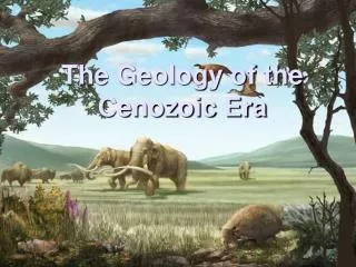
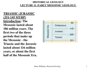
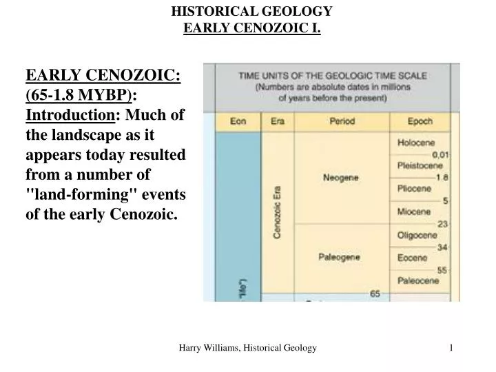
HISTORICAL GEOLOGY EARLY CENOZOIC I. . EARLY CENOZOIC: (65-1.8 MYBP) : Introduction : Much of the landscape as it appears today resulted from a number of "land-forming" events of the early Cenozoic. Paleogene Paleogeography. Appalachians and Coastal Plains Rockies and Great Plains.

E N D
HISTORICAL GEOLOGY EARLY CENOZOIC I. EARLY CENOZOIC: (65-1.8 MYBP): Introduction: Much of the landscape as it appears today resulted from a number of "land-forming" events of the early Cenozoic. Harry Williams, Historical Geology
Paleogene Paleogeography. Harry Williams, Historical Geology
Appalachians and Coastal Plains Rockies and Great Plains Harry Williams, Historical Geology
Gulf Coast Main area of marine transgressions and regressions during Cenozoic, this, combined with pronounced subsidence, resulted in about 10 000 m of Paleogene/Neogene sediments underlying the Gulf Coast Harry Williams, Historical Geology
East Coast Relatively quite during the Cenozoic. The erosion of the Appalachians continued, producing subdued, rounded mountains (characteristic of ancient mountains). The coastal plain and continental shelf continued to be built from clastics in the northeast and carbonates in the southeast (Florida). Harry Williams, Historical Geology
Low, rounded, vegetated mountain ridges in the Appalachians. Harry Williams, Historical Geology
East coast coastal plain – dominated by coastal processes and landforms e.g. spits, barriers, beaches, marshes, etc. Cape Fear Harry Williams, Historical Geology
Barrier Island Mississippi delta Harry Williams, Historical Geology
Bahama Banks Harry Williams, Historical Geology
Rockies Continuing uplift and erosion shaped the Rockies into rugged, sharp peaks (characteristic of youthful mountains). In some areas, large fault blocks were pushed up to form mountain ranges, such as the Tetons of Wyoming. Clastics from the erosion spread eastward, forming the Great Plains. Tetons. Harry Williams, Historical Geology
West Coast Tectonics Subduction down much of the west coast stopped in the Cenozoic, as the Farallon Plate and the east Pacific Rise were swallowed by the subduction zone. Instead, a transform fault developed about 10 million years ago. Subduction continued to the north (Juan de Fuca plate) and the south (Cocos plate). A number of features are related to these plate movements: Harry Williams, Historical Geology
San Andreas Fault Cascades Columbia Plateau Basin and Range Colorado Plateau Harry Williams, Historical Geology
San Andreas Fault Harry Williams, Historical Geology
Mt. St. Helens, 1980. The Cascades - volcanic arc. Harry Williams, Historical Geology
Columbia Plateau - flood basalts resulting from a hot spot. Harry Williams, Historical Geology
Basin And Range Province Tensional forces developed in large areas of Nevada, Arizona, New Mexico and South California during the Cenozoic, probably resulting from the change from subduction to transform fault along the craton margin. The result was basin and range topography, characterized by normal faults, grabens and horsts: Harry Williams, Historical Geology
Death Valley, California. Dashed lines = faults. Harry Williams, Historical Geology
Graben and horst. Harry Williams, Historical Geology
Colorado Plateau A large block of crust in the southwest remained relatively undeformed, but was uplifted during the Cenozoic (5 -10 mybp), forming the Colorado Plateau. Streams cut down into the plateau as it was lifted up, forming deep canyons, including the Grand Canyon (2600 m deep). Harry Williams, Historical Geology
Grand Canyon. Harry Williams, Historical Geology
Plateaus, mesas, buttes and pinnacles formed by stream erosion of uplifted strata. Harry Williams, Historical Geology
Tethys Seaway Closure of the Tethys Seaway was completed during the Cenozoic. Africa collided with Europe about 40 million years ago forming the PYRENEES, between France and Spain, and the ATLAS MOUNTAINS of northwest Africa. As Africa swung around, the collision spread eastward, forming the ALPS of southern Europe. Areas of the Alps are still undergoing periodic uplift today (the collision continues). Further east, India collided with Asia about 10 million years ago, forming the HIMALAYAS (the top of Mt. Everest is marine limestone); these mountains are also continuing to rise – frequent earthquakes in India/China attest to the continuing movement. Harry Williams, Historical Geology