Download
1 / 22
230 likes | 320 Vues
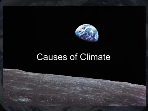
17.1 Climate and its causes. Learning Targets. Describe the effect of latitude on climate Diagram the Hadley, Ferrell, and Polar atmospheric circulation cells and show how they influence the climate of various locations

E N D
Learning Targets • Describe the effect of latitude on climate • Diagram the Hadley, Ferrell, and Polar atmospheric circulation cells and show how they influence the climate of various locations • Discuss position in the global wind belts, proximity to a large water body, position relative to a mountain range
Climate • Climate is the long-term average of weather • Weather is unpredictable • Climate is predictable
Climate • Factors influencing region’s climate: • Latitude • Three Global Wind Belts • Prevailing Winds • Continental Position • Ocean Currents • Altitude
Factor # 1 - Latitude • The main factor influencing region’s climate • Low latitude = high solar energy • Equator • Sun directly overhead; equal night and day • High latitude = low solar energy • Poles • Sun at low angle; long days, long nights • High albedo
Factor # 2 – Global Wind Belts #1 • ITCZ – Intertropical Convergence Zone • Low Pressure boundary between two Hadley Cells, lots of precipitation. • Equator 00 - Doldrums
Factor # 2 – Global Wind Belt #2 • Hadley and Ferrell Cell Boundary • High Pressure – sinking cold air causing evaporation • Horse latitudes - 300 N/S
Factor # 2 – Global Wind Belt #3 • Ferrell and Polar Cell Boundary • Polar jet stream – cold air from poles meet warmer air from tropics, very stormy • 500 to 600N/S latitude
Factor # 3 - Prevailing Winds • Global wind belts create H and L zones • Bring weather from locations they come from • H Dry • Cold air descending causes evaporation • L Wet • Warm air rising and losing its water
Factor # 4 - Continental Position • Water regulates air temperature • Higher specific heat than land • Maritime climate – influenced by nearby large body of water • Less extreme • Continental climate – greater temperature differences between day/night & summer/winter • More extreme
Factor # 5 - Ocean Currents • Surface and deep water currents affect air temperatures along the coast • Cold water moves towards the equator • California current cools Southern California • Warm water moves towards the poles • Gulf stream warms Northern Europe • Cold upwelling can cool or heat surrounding land
Factor # 6 - Altitude • Mountains affect climate by • Lowering temperature • Temperature decreases with altitude in the troposphere • RainshadowEffect • Air is dry after it has been forced over mountains no precipitation • e.g. California compared to Nevada