Download
1 / 19
190 likes | 733 Vues
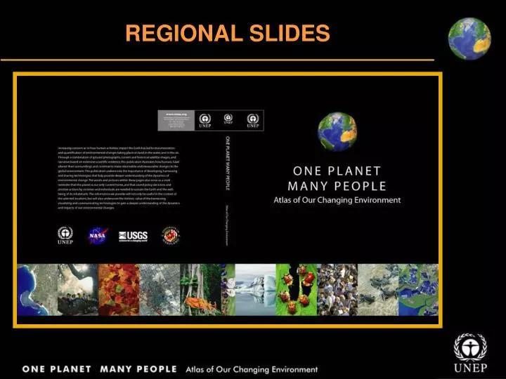
REGIONAL SLIDES EUROPE The Black Triangle, Czech Republic Cop şa Micâ, Romania Chernobyl Nuclear Accident, Ukraine London, England Moskva, Russia Paris, France Atat ürk Dam, Turkey Gabcikova, Slovakia Arkhangelsk, Russia Lappi, Finland Sakhalin, Russia Almeria, Spain

E N D
EUROPE • The Black Triangle, Czech Republic • Copşa Micâ, Romania • Chernobyl Nuclear Accident, Ukraine • London, England • Moskva, Russia • Paris, France • Atatürk Dam, Turkey • Gabcikova, Slovakia • Arkhangelsk, Russia • Lappi, Finland • Sakhalin, Russia • Almeria, Spain • Novovolynśk, Ukraine • Ijsselmeer, Netherlands
EUROPE • Air pollution is particularly acute in Europe's large cities. Of the 10 countries with the highest sulphur dioxide ratings 7 are in Western and Central Europe • Europe is one of the most urbanized continents; some 75% of Europe's population live on just 10% of its land area • Farmland, including arable land and permanent grassland, is one of the dominant land uses in Europe, covering more than 45% (180 million hectares) • Roughly 30% of the Europe’s land area is still covered by forest, recent estimates show a slight overall increase in the extent of European forests, by about 0.5% per year Sources: Global Change Game; EEA 2005
EUROPE Current water availability and changes expected by 2030 Source: EEA, 2005.
Coal mining in Black TriangleCzech Republic • 1975: The gray areas are surface mines located primarily in the Czech Republic • 2000: The image reveals somewhat improved vegetation cover
Copşa Micâ – Environmental disaster areaRomania • The area is classified as “environmental disaster area” • In 1989, the area was exposed as one of the most polluted places
Devastating nuclear accident in Chernobyl, Ukraine The Chernobyl nuclear accident killed more than 31 people immediately More than 120 000 people from 213 villages and cities were relocated outside the contamination zone Much of the farmland surrounding the plant was heavily contaminated with radio active nuclides and subsequently abandoned
Growing London city, United Kingdom • Over 7 million residents • Population projected to approach 8 million by 2021
Expanding population in largest European city – Moskva, Russia 1975-2001: Images show urban expansion during the last 25 years of the 20th century
Seine River dissecting the city of ParisFrance 1976-2001: Images show expansion of city into the surrounding rural areas
Atatürk Dam changes the landscape of surrounding areas, Turkey Transformation of the region around the dam is strikingly apparent in these images Right-hand corner of the 1999 image shows irrigated fields surrounding the town of Harran
Transformation from natural waterway to controlled water supply – Gabcikova, Slovakia 1973-2000: Images show changes brought about by massive re-channeling of river water
Disturbances in Arkhangelsk forest cover • In some places, large sections of the forest have been clear-felled • Other places show a block pattern, where section of relatively undisturbed forest are left between clear-felled sections
One of the world’s most intensive forests – Lappi, Finland Images show a result of this logging in the northeastern areas of the country The patches of tan in the 2002 image signify clearcut areas
Impact of forest fires in Sakhalin Russia Area burned due to forest fire in Boreal region
Conversion to intensive greenhouse agriculture – Almeria, Spain • 1987: The landscape reflects rather typical rural agricultural land use • 2000: The areas has been converted to intensive greenhouse agriculture • 2004: Greenhouse-dominated land appears as whitish gray patches
Notably different agricultural method along Novovolynśk, Ukraine 1988-2000: Apparent change in the approach to land use in Ukraine, following the patterns in Poland
Farming along Ijsselmeer coastThe Netherlands These images show the transformation of polders (areas of reclaimed land) into useable farming land • 1973-2004: lighter blue water is the Markermeer – buffer against floodwaters • 2004: this area of reclaimed land was covered with farms
EUROPE One Planet Many People: Atlas of Our Changing Environment Thank You! Free Downloads: www.na.unep.net Purchase: www.Earthprint.com